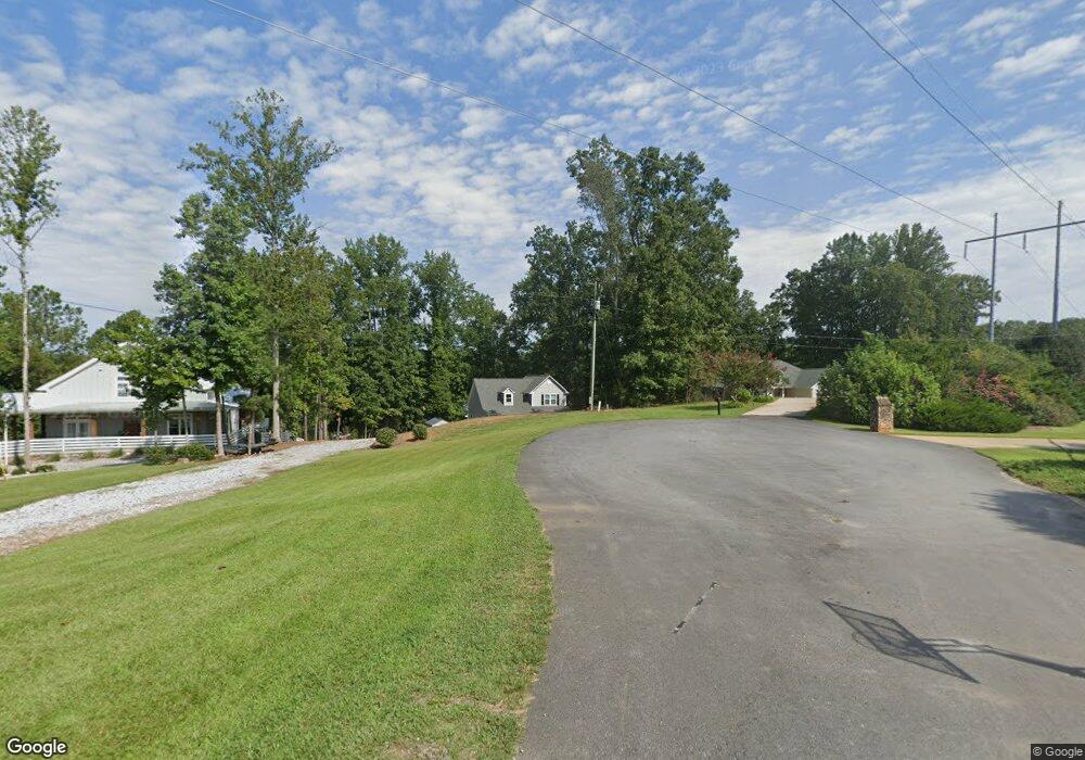
379 Browns Point Dawsonville, GA 30534
Dawson County NeighborhoodEstimated Value: $1,019,189 - $1,232,000
3
Beds
2
Baths
2,276
Sq Ft
$483/Sq Ft
Est. Value
About This Home
This home is located at 379 Browns Point, Dawsonville, GA 30534 and is currently estimated at $1,098,730, approximately $482 per square foot. 379 Browns Point is a home located in Dawson County with nearby schools including Kilough Elementary School, Dawson County Middle School, and Dawson County Junior High School.
Ownership History
Date
Name
Owned For
Owner Type
Purchase Details
Closed on
Mar 18, 2019
Sold by
Adams Marjorie Bowman
Bought by
Bowman Michael E and Bowman Judy M
Current Estimated Value
Home Financials for this Owner
Home Financials are based on the most recent Mortgage that was taken out on this home.
Original Mortgage
$134,816
Interest Rate
4.3%
Mortgage Type
New Conventional
Purchase Details
Closed on
Nov 9, 1995
Sold by
Roberts Lynda Bowman
Bought by
Roberts Lynda Bowman
Purchase Details
Closed on
Mar 22, 1971
Sold by
Coleman Coleman J and Coleman Coalso
Bought by
Bowman Earl H and Bowman Lois
Purchase Details
Closed on
Jan 2, 1964
Bought by
Coleman Coleman J and Coleman Coalso
Create a Home Valuation Report for This Property
The Home Valuation Report is an in-depth analysis detailing your home's value as well as a comparison with similar homes in the area
Home Values in the Area
Average Home Value in this Area
Purchase History
| Date | Buyer | Sale Price | Title Company |
|---|---|---|---|
| Bowman Michael E | $125,000 | -- | |
| Bowman Michael E | $125,000 | -- | |
| Roberts Lynda Bowman | -- | -- | |
| Bowman Earl H | $13,000 | -- | |
| Coleman Coleman J | $1,700 | -- |
Source: Public Records
Mortgage History
| Date | Status | Borrower | Loan Amount |
|---|---|---|---|
| Closed | Bowman Michael E | $134,816 |
Source: Public Records
Tax History Compared to Growth
Tax History
| Year | Tax Paid | Tax Assessment Tax Assessment Total Assessment is a certain percentage of the fair market value that is determined by local assessors to be the total taxable value of land and additions on the property. | Land | Improvement |
|---|---|---|---|---|
| 2024 | $6,714 | $411,924 | $294,880 | $117,044 |
| 2023 | $6,699 | $372,244 | $268,080 | $104,164 |
| 2022 | $3,640 | $169,896 | $134,040 | $35,856 |
| 2021 | $3,194 | $141,192 | $111,680 | $29,512 |
| 2020 | $3,354 | $141,752 | $111,680 | $30,072 |
| 2019 | $3,271 | $137,072 | $111,680 | $25,392 |
| 2018 | $3,278 | $137,072 | $111,680 | $25,392 |
| 2017 | $2,526 | $105,612 | $80,000 | $25,612 |
| 2016 | $2,236 | $93,501 | $70,000 | $23,501 |
| 2015 | $2,268 | $91,885 | $70,000 | $21,885 |
| 2014 | $2,302 | $90,348 | $70,000 | $20,348 |
| 2013 | -- | $71,151 | $56,000 | $15,151 |
Source: Public Records
Map
Nearby Homes
- 307 Robertson Rd
- 435 Robertson Rd
- 104 Waters Edge
- 427 Dawson Pointe Pkwy
- 347 Etowah Pkwy
- 518 Overlook Dr
- 604 Oak Forest Dr
- 246 Overlook Cir
- 330 Lake Dr
- 66 Chestnut Oak Ln
- 75 Lake Dr
- 61 View Point Dr
- 272 Indian Cove Dr
- 1056 Overlook Dr
- 734 Kilough Church Rd
- 611 Elliott Rd
- 3 Henry Pirkle Dr
- 44 Eastview Dr
- 80 Eastview Dr
- 359 Browns Point
- 401 Browns Point
- 400 Browns Point Unit 6
- 400 Browns Point
- 341 Browns Point
- 380 Browns Point
- 360 Browns Point
- 315 Browns Point
- 342 Browns Point
- 54 Poplar Trail
- 66 Poplar Trail
- 280 Browns Point
- 92 Poplar Trail
- 0 Browns Point Rd Unit 7276380
- 0 Browns Point Rd
- 205 Browns Point
- 112 Poplar Trail
- 3348 Dawson Forest Rd E
- 120 Poplar Trail
- 134 Poplar Trail