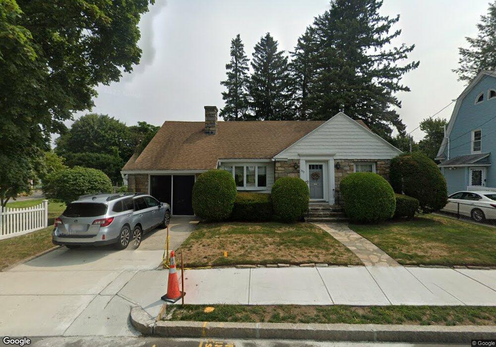
379 Burncoat St Worcester, MA 01606
Burncoat NeighborhoodEstimated Value: $395,000 - $461,000
2
Beds
3
Baths
1,347
Sq Ft
$319/Sq Ft
Est. Value
About This Home
This home is located at 379 Burncoat St, Worcester, MA 01606 and is currently estimated at $430,235, approximately $319 per square foot. 379 Burncoat St is a home located in Worcester County with nearby schools including Jacob Hiatt Magnet School, Chandler Magnet, and Thorndyke Road School.
Ownership History
Date
Name
Owned For
Owner Type
Purchase Details
Closed on
Sep 23, 1997
Sold by
Griffin Robert P and Griffin John T
Bought by
Roach Walter C and Magnuson Lorry W
Current Estimated Value
Purchase Details
Closed on
Aug 26, 1994
Sold by
Drelinger Harold and Drelinger Loretta
Bought by
Griffin Anne
Purchase Details
Closed on
Oct 22, 1990
Sold by
Jones Francis A
Bought by
Drelinger Harold
Create a Home Valuation Report for This Property
The Home Valuation Report is an in-depth analysis detailing your home's value as well as a comparison with similar homes in the area
Home Values in the Area
Average Home Value in this Area
Purchase History
| Date | Buyer | Sale Price | Title Company |
|---|---|---|---|
| Roach Walter C | $113,000 | -- | |
| Griffin Anne | $115,000 | -- | |
| Drelinger Harold | $100,000 | -- |
Source: Public Records
Mortgage History
| Date | Status | Borrower | Loan Amount |
|---|---|---|---|
| Open | Drelinger Harold | $21,000 | |
| Open | Drelinger Harold | $123,000 | |
| Closed | Drelinger Harold | $15,000 |
Source: Public Records
Tax History
| Year | Tax Paid | Tax Assessment Tax Assessment Total Assessment is a certain percentage of the fair market value that is determined by local assessors to be the total taxable value of land and additions on the property. | Land | Improvement |
|---|---|---|---|---|
| 2025 | $4,895 | $371,100 | $115,900 | $255,200 |
| 2024 | $4,797 | $348,900 | $115,900 | $233,000 |
| 2023 | $4,599 | $320,700 | $100,800 | $219,900 |
| 2022 | $4,213 | $277,000 | $80,600 | $196,400 |
| 2021 | $10,250 | $249,700 | $64,500 | $185,200 |
| 2020 | $3,959 | $232,900 | $64,500 | $168,400 |
| 2019 | $3,764 | $209,100 | $58,000 | $151,100 |
| 2018 | $3,767 | $199,200 | $58,000 | $141,200 |
| 2017 | $3,604 | $187,500 | $58,000 | $129,500 |
| 2016 | $3,545 | $172,000 | $42,400 | $129,600 |
| 2015 | $3,452 | $172,000 | $42,400 | $129,600 |
| 2014 | $3,361 | $172,000 | $42,400 | $129,600 |
Source: Public Records
Map
Nearby Homes
- 66 Eunice Ave
- 331 Burncoat St
- 323 Burncoat St
- 55 Clark St
- 169 Whitmarsh Ave
- 30 Danielles Way
- 13 Fatima Ln
- 58 Osceola Ave
- 39 Whitmarsh Ave
- 53 Collins St
- 3205 Halcyon Dr Unit 3205
- 15 Ericsson St
- 12 Erie Ave
- 45 Goldthwaite Rd
- 41 Mohave Rd
- 37 Mohave Rd
- 39 Mountainshire Dr
- 22 Huron Ave
- 69 Santoro Rd
- 10 Beale St
- 377 Burncoat St
- 383 Burncoat St
- 19 Quinapoxet Ln
- 371 Burncoat St
- 380 Burncoat St
- 385 Burncoat St
- 384 Burncoat St
- 369 Burncoat St Unit 1,2 & 3
- 369 Burncoat St
- 369 Burncoat St Unit 1
- 369 Burncoat St Unit 2
- 100 Brandon Rd
- 29 Quinapoxet Ln
- 4 Inwood Rd
- 14 Quinapoxet Ln
- 387 Burncoat St
- 4 Mayflower Cir
- 26 Quinapoxet Ln
- 8 Inwood Rd
- 96 Brandon Rd
Your Personal Tour Guide
Ask me questions while you tour the home.