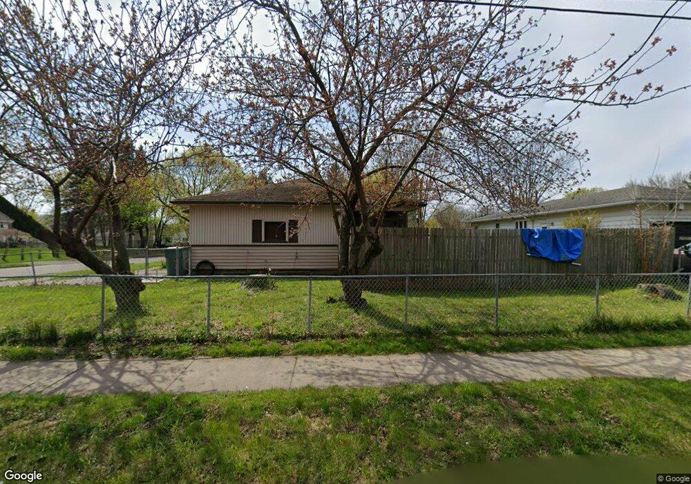
379 Carter St Rochester, NY 14621
Northeast Rochester NeighborhoodEstimated Value: $103,000 - $149,964
3
Beds
1
Bath
883
Sq Ft
$151/Sq Ft
Est. Value
About This Home
This home is located at 379 Carter St, Rochester, NY 14621 and is currently estimated at $133,741, approximately $151 per square foot. 379 Carter St is a home located in Monroe County with nearby schools including School 39-Andrew J. Townson, Mary McLeod Bethune School No. 45, and School 25 Nathaniel Hawthorne.
Ownership History
Date
Name
Owned For
Owner Type
Purchase Details
Closed on
Mar 10, 2020
Sold by
Manning Lorice T and Bullock Albert
Bought by
Butler Radcliffe Alarice L
Current Estimated Value
Create a Home Valuation Report for This Property
The Home Valuation Report is an in-depth analysis detailing your home's value as well as a comparison with similar homes in the area
Home Values in the Area
Average Home Value in this Area
Purchase History
| Date | Buyer | Sale Price | Title Company |
|---|---|---|---|
| Butler Radcliffe Alarice L | $42,000 | None Available |
Source: Public Records
Tax History Compared to Growth
Tax History
| Year | Tax Paid | Tax Assessment Tax Assessment Total Assessment is a certain percentage of the fair market value that is determined by local assessors to be the total taxable value of land and additions on the property. | Land | Improvement |
|---|---|---|---|---|
| 2024 | $1,252 | $125,700 | $12,900 | $112,800 |
| 2023 | $683 | $50,000 | $4,300 | $45,700 |
| 2022 | $671 | $50,000 | $4,300 | $45,700 |
| 2021 | $660 | $50,000 | $4,300 | $45,700 |
| 2020 | $594 | $50,000 | $4,300 | $45,700 |
| 2019 | $617 | $42,000 | $4,300 | $37,700 |
| 2018 | $1,780 | $42,000 | $4,300 | $37,700 |
| 2017 | $0 | $42,000 | $4,300 | $37,700 |
| 2016 | $617 | $42,000 | $4,300 | $37,700 |
| 2015 | $1,867 | $45,900 | $4,300 | $41,600 |
| 2014 | $1,867 | $45,900 | $4,300 | $41,600 |
Source: Public Records
Map
Nearby Homes
- 187-189 Delamaine Dr
- 256 Durnan St
- 319 Carter St
- 318-320 Durnan St
- 152 Delamaine Dr
- 146 Delamaine Dr
- 120 Barberry Terrace
- 50 Manchester St
- 165 Durnan St
- 199 Roycroft Dr
- 212 Saint Stanislaus St
- 1303 North St
- 96 Sobieski St
- 110 Kosciusko St
- 85 Sobieski St
- 94 Kosciusko St
- 92 Roycroft Dr
- 73 Kosciusko St
- 65 Kosciusko St
- 46 Baird St
- 387 Carter St
- 118 Skylane Dr
- 393 Carter St
- 361 Carter St
- 115 Chevalin St
- 115 Skylane Dr
- 110 Skylane Dr
- 125 Chevalin St
- 380 Carter St
- 370 Carter St
- 390 Carter St
- 368 Carter St
- 105 Chevalin St
- 364 Carter St
- 400 Carter St
- 345 Carter St Unit 347
- 103 Skylane Dr
- 254 Ernst St
- 96 Skylane Dr
- 225 Delamaine Dr