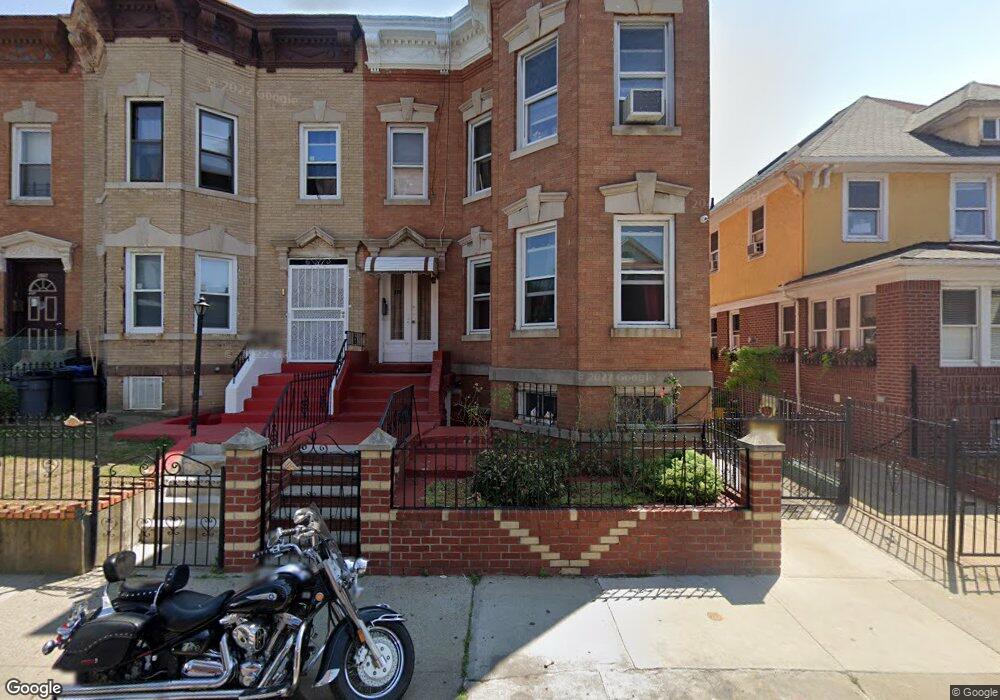
379 E 32nd St Brooklyn, NY 11226
Flatbush NeighborhoodEstimated Value: $1,034,000 - $1,351,000
Studio
--
Bath
2,350
Sq Ft
$489/Sq Ft
Est. Value
About This Home
This home is located at 379 E 32nd St, Brooklyn, NY 11226 and is currently estimated at $1,149,000, approximately $488 per square foot. 379 E 32nd St is a home located in Kings County with nearby schools including Middle School 246 Walt Whitman, Central Brooklyn Ascend Charter, and BROOKLYN KIDS PREPARATORY SCHOOL.
Ownership History
Date
Name
Owned For
Owner Type
Purchase Details
Closed on
Oct 8, 1999
Sold by
Desilva Patrick
Bought by
Maynard Wayne and Maynard Ingrid
Current Estimated Value
Home Financials for this Owner
Home Financials are based on the most recent Mortgage that was taken out on this home.
Original Mortgage
$157,500
Interest Rate
7.71%
Create a Home Valuation Report for This Property
The Home Valuation Report is an in-depth analysis detailing your home's value as well as a comparison with similar homes in the area
Home Values in the Area
Average Home Value in this Area
Purchase History
| Date | Buyer | Sale Price | Title Company |
|---|---|---|---|
| Maynard Wayne | $175,000 | Commonwealth Land Title Ins |
Source: Public Records
Mortgage History
| Date | Status | Borrower | Loan Amount |
|---|---|---|---|
| Previous Owner | Maynard Wayne | $157,500 |
Source: Public Records
Tax History
| Year | Tax Paid | Tax Assessment Tax Assessment Total Assessment is a certain percentage of the fair market value that is determined by local assessors to be the total taxable value of land and additions on the property. | Land | Improvement |
|---|---|---|---|---|
| 2025 | $7,456 | $72,840 | $25,620 | $47,220 |
| 2024 | $7,456 | $57,540 | $25,620 | $31,920 |
| 2023 | $7,113 | $50,340 | $25,620 | $24,720 |
| 2022 | $6,596 | $50,220 | $25,620 | $24,600 |
| 2021 | $6,954 | $49,020 | $25,620 | $23,400 |
| 2019 | $6,472 | $39,780 | $25,620 | $14,160 |
| 2018 | $5,950 | $29,186 | $19,813 | $9,373 |
| 2017 | $5,613 | $27,536 | $17,788 | $9,748 |
| 2016 | $5,505 | $27,536 | $19,596 | $7,940 |
| 2015 | $2,913 | $27,326 | $16,106 | $11,220 |
| 2014 | $2,913 | $25,780 | $15,529 | $10,251 |
Source: Public Records
Map
Nearby Homes
- 1322 New York Ave
- 558 E 34th St
- 1773 Nostrand Ave
- 2913 Foster Ave Unit 1B
- 2913 Foster Ave Unit 2F
- 2913 Foster Ave Unit 2E
- 2913 Foster Ave Unit 3D
- 2913 Foster Ave Unit 6G
- 408 E 29th St
- 1776 Nostrand Ave
- 339 E 29th St
- 448 E 29th St
- 1752 Nostrand Ave
- 3317 Clarendon Rd
- 660 E 37th St
- 1196 New York Ave
- 616 E 37th St
- 563 E 32nd St
- 1193 Rogers Ave
- 2701 Newkirk Ave Unit 3D
- 377 E 32nd St
- 375 E 32nd St
- 373 E 32nd St
- 385 E 32nd St
- 371 E 32nd St
- 389 E 32 St
- 389 E 32 Nd St Unit 1
- 389 E 32nd St
- 389 E 32nd St Unit 1
- 369 E 32nd St Unit 6
- 1296 New York Ave
- 1290 New York Ave
- 367 E 32nd St Unit 6
- 1300 New York Ave
- 1286 New York Ave
- 1286 New York Ave Unit 3
- 1302 New York Ave
- 363 E 32nd St Unit 6
- 363 E 32nd St Unit 1
- 363 E 32 Nd St Unit 1
Your Personal Tour Guide
Ask me questions while you tour the home.