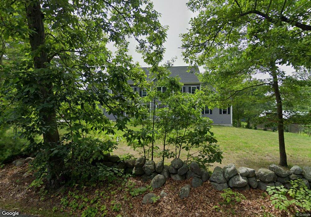
379 Forest St Dunstable, MA 01827
Estimated Value: $907,387 - $985,000
4
Beds
3
Baths
3,115
Sq Ft
$305/Sq Ft
Est. Value
About This Home
This home is located at 379 Forest St, Dunstable, MA 01827 and is currently estimated at $951,597, approximately $305 per square foot. 379 Forest St is a home located in Middlesex County with nearby schools including Groton Dunstable Regional High School and Academy of Notre Dame - Upper School.
Ownership History
Date
Name
Owned For
Owner Type
Purchase Details
Closed on
Feb 6, 1963
Bought by
Nigohosian Kevin T and Nigohosian Shelly
Current Estimated Value
Create a Home Valuation Report for This Property
The Home Valuation Report is an in-depth analysis detailing your home's value as well as a comparison with similar homes in the area
Home Values in the Area
Average Home Value in this Area
Purchase History
| Date | Buyer | Sale Price | Title Company |
|---|---|---|---|
| Nigohosian Kevin T | -- | -- |
Source: Public Records
Tax History
| Year | Tax Paid | Tax Assessment Tax Assessment Total Assessment is a certain percentage of the fair market value that is determined by local assessors to be the total taxable value of land and additions on the property. | Land | Improvement |
|---|---|---|---|---|
| 2025 | $11,784 | $857,000 | $221,000 | $636,000 |
| 2024 | $10,855 | $777,600 | $202,700 | $574,900 |
| 2023 | $10,701 | $714,800 | $202,700 | $512,100 |
| 2022 | $9,697 | $635,900 | $202,700 | $433,200 |
| 2021 | $9,667 | $589,100 | $185,400 | $403,700 |
| 2020 | $9,632 | $572,000 | $185,400 | $386,600 |
| 2019 | $9,357 | $548,500 | $185,400 | $363,100 |
| 2018 | $9,177 | $523,200 | $184,400 | $338,800 |
| 2017 | $8,815 | $517,900 | $184,400 | $333,500 |
| 2016 | $8,437 | $509,800 | $176,200 | $333,600 |
| 2015 | $8,151 | $487,200 | $148,500 | $338,700 |
| 2014 | $2,342 | $148,500 | $148,500 | $0 |
Source: Public Records
Map
Nearby Homes
- 0 Lowell St
- 16 Cannongate Rd Unit 16
- 160 Westford Rd
- 153 Off Pond St
- 0 Dunstable Rd
- 103 Pondview Place Unit 103
- 319 Pleasant St
- 14 Centercrest Dr Unit 14
- 22 Highland Rd
- 11 Strawberry Bank Rd Unit U17
- 2 Strawberry Bank Rd Unit 17
- 34 Shakespeare St
- 4 Heritage Village Dr
- 56 Frost Rd
- 24 Old Tyng Rd
- 6 Green Heron Ln Unit U22
- 38 Georgetown Dr
- 3 Black Oak Dr Unit C
- 21 Merrimac Way Unit D
- 75 Frost Rd
Your Personal Tour Guide
Ask me questions while you tour the home.