379 Gray Estates Dr the Rock, GA 30285
Estimated Value: $902,000 - $1,244,723
5
Beds
3
Baths
7,005
Sq Ft
$150/Sq Ft
Est. Value
About This Home
This home is located at 379 Gray Estates Dr, the Rock, GA 30285 and is currently estimated at $1,053,241, approximately $150 per square foot. 379 Gray Estates Dr is a home located in Pike County with nearby schools including Pike County Primary School, Pike County Elementary School, and Pike County Middle School.
Ownership History
Date
Name
Owned For
Owner Type
Purchase Details
Closed on
Dec 18, 2019
Sold by
Gray Joseph M
Bought by
Owen Synthia Roxane
Current Estimated Value
Purchase Details
Closed on
Oct 24, 2007
Sold by
Gray Linda G
Bought by
Gray Joseph M and Buice Shelley Carol
Purchase Details
Closed on
Jan 30, 2004
Sold by
Daniels A Tim
Bought by
Gray Joseph M and Gray Linda
Purchase Details
Closed on
Sep 3, 2002
Sold by
Jones Robert B
Bought by
Daniels A Tim
Purchase Details
Closed on
Jul 23, 1993
Sold by
First Bank Of Pike
Bought by
Jones Robert B
Purchase Details
Closed on
Sep 29, 1988
Sold by
Callahan Lois M
Bought by
Jones Robert B
Purchase Details
Closed on
Jan 18, 1985
Sold by
King Janette Callahan
Bought by
Callahan Lois M
Purchase Details
Closed on
Oct 1, 1984
Bought by
Callahan Annie Etal
Create a Home Valuation Report for This Property
The Home Valuation Report is an in-depth analysis detailing your home's value as well as a comparison with similar homes in the area
Home Values in the Area
Average Home Value in this Area
Purchase History
| Date | Buyer | Sale Price | Title Company |
|---|---|---|---|
| Owen Synthia Roxane | $480,000 | -- | |
| Linda G Gray Lwt Trust | -- | -- | |
| Efo Properties Llc | $125,000 | -- | |
| Gray Joseph M | -- | -- | |
| Gray Joseph M | $126,200 | -- | |
| Daniels A Tim | $123,000 | -- | |
| Jones Robert B | -- | -- | |
| Jones Robert B | -- | -- | |
| Callahan Lois M | -- | -- | |
| Callahan Annie Etal | -- | -- |
Source: Public Records
Tax History Compared to Growth
Tax History
| Year | Tax Paid | Tax Assessment Tax Assessment Total Assessment is a certain percentage of the fair market value that is determined by local assessors to be the total taxable value of land and additions on the property. | Land | Improvement |
|---|---|---|---|---|
| 2024 | $9,948 | $470,916 | $82,514 | $388,402 |
| 2023 | $11,364 | $461,483 | $82,514 | $378,969 |
| 2022 | $8,076 | $330,395 | $63,473 | $266,922 |
| 2021 | $8,323 | $313,013 | $46,091 | $266,922 |
| 2020 | $5,205 | $313,013 | $46,091 | $266,922 |
| 2019 | $11,700 | $340,751 | $47,837 | $292,914 |
| 2018 | $11,710 | $340,751 | $47,837 | $292,914 |
| 2017 | $11,613 | $340,751 | $47,837 | $292,914 |
| 2016 | $10,776 | $340,751 | $47,837 | $292,914 |
| 2015 | $10,263 | $340,751 | $47,837 | $292,914 |
| 2014 | $10,409 | $340,751 | $47,837 | $292,914 |
| 2013 | -- | $340,750 | $47,837 | $292,913 |
Source: Public Records
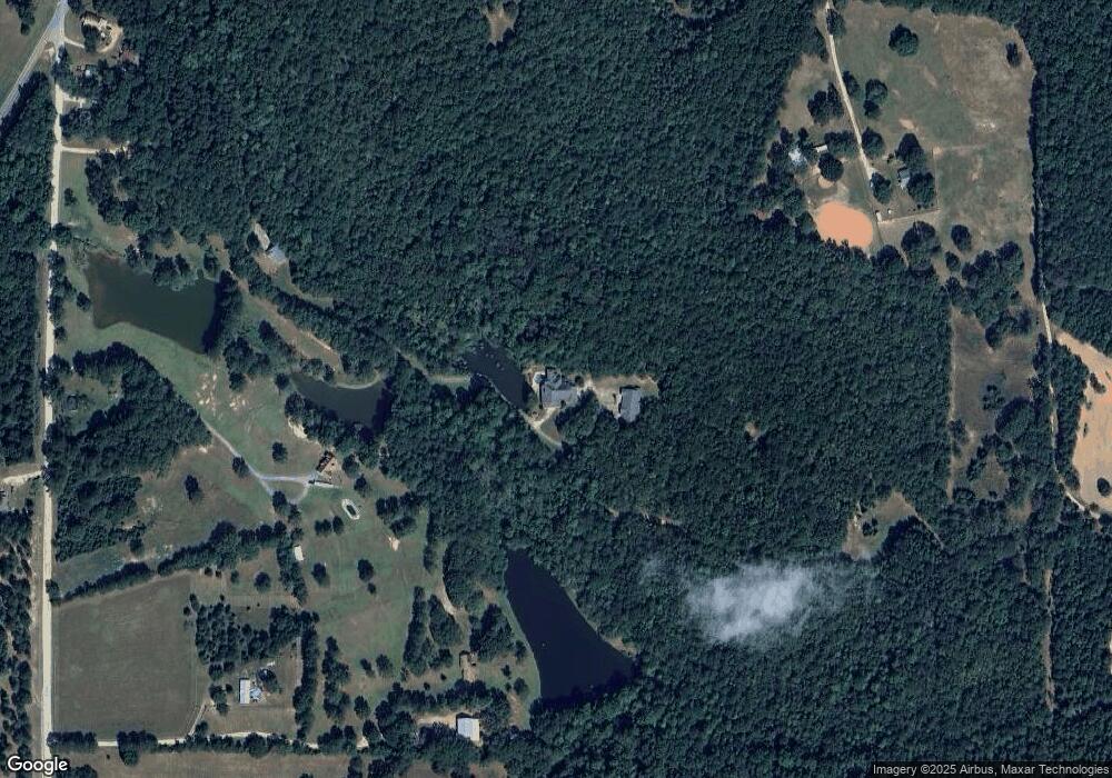
Map
Nearby Homes
- 1757 Alabama Rd
- 63 Alabama Rd
- 0 Bankston Rd
- 0 Bankston Rd Unit 10646721
- 0 Alabama Rd Unit 22813063
- 0 Barnesville Hwy Unit 10548523
- 1907 Rocky Bottom Rd
- 0 Stewart Rd
- 1440 McCard Lake Rd
- 297 Bishop Rd
- 561 Jugtown Rd
- 121 Sheppard Rd
- 98 Mud Bridge Rd
- 28 Mud Bridge Rd
- 3854 Us Hwy 19
- 928 Hwy 19
- 1243 US Hwy 19
- Race Track Rd
- 145 Apple Rd
- 2566 U S 19
- 379 Gray Estates
- 2868 Mud Bridge Rd
- 2662 Mud Bridge Rd
- 399 Alabama Rd
- 167 Alabama Rd
- 0 Hay Rd Unit 7412609
- 0 Hay Rd Unit 8088412
- 0 Hay Rd Unit 8088396
- 0 Hay Rd Unit 8233617
- 0 Hay Rd Unit 8233625
- 0 Hay Rd Unit 8295183
- 0 Hay Rd Unit 8295180
- 0 Hay Rd Unit 8380709
- 0 Hay Rd Unit 8380721
- 0 Hay Rd Unit 8476940
- 245 Alabama Rd
- 2660 Mud Bridge Rd
- 2858 Mud Bridge Rd
- 2992 Mud Bridge Rd
- 3018 Mud Bridge Rd