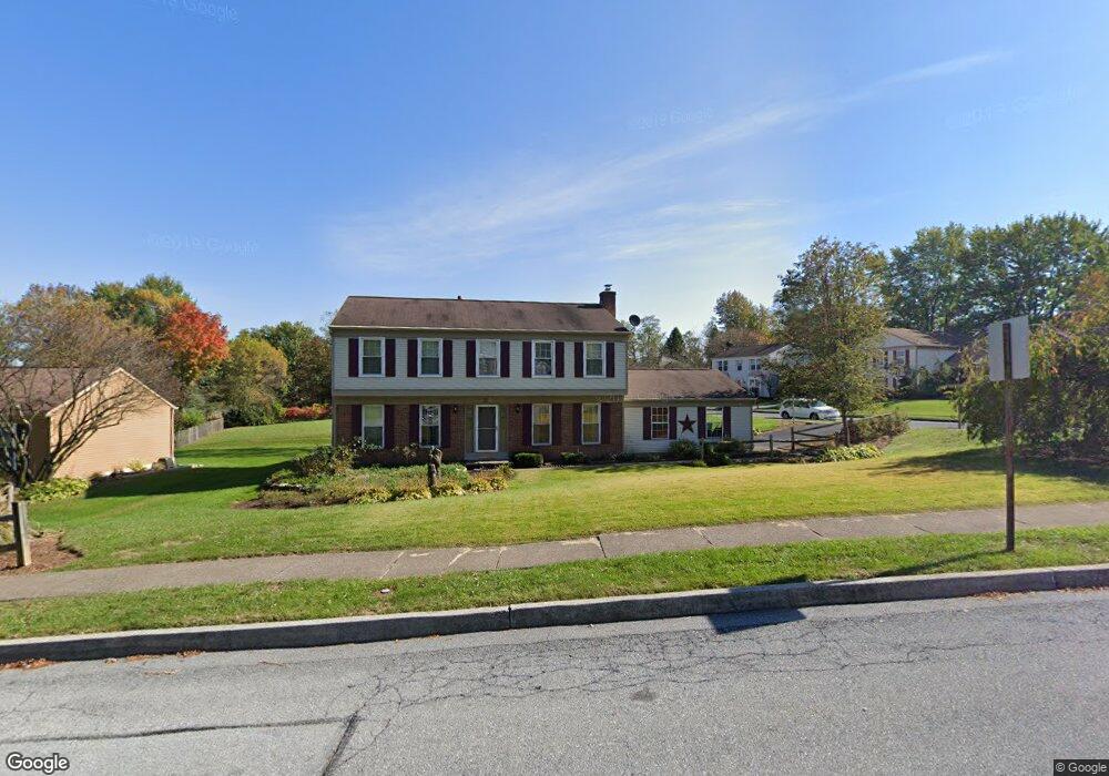
379 Lamp Post Ln Hershey, PA 17033
Estimated Value: $489,740 - $551,000
4
Beds
3
Baths
2,264
Sq Ft
$230/Sq Ft
Est. Value
About This Home
This home is located at 379 Lamp Post Ln, Hershey, PA 17033 and is currently estimated at $521,185, approximately $230 per square foot. 379 Lamp Post Ln is a home located in Dauphin County with nearby schools including Hershey Elementary School, Hershey Primary Elementary School, and Hershey Middle School.
Ownership History
Date
Name
Owned For
Owner Type
Purchase Details
Closed on
Aug 6, 2008
Sold by
Adams Frederick W
Bought by
Lewis Guy W
Current Estimated Value
Home Financials for this Owner
Home Financials are based on the most recent Mortgage that was taken out on this home.
Original Mortgage
$165,000
Outstanding Balance
$108,666
Interest Rate
6.4%
Mortgage Type
New Conventional
Estimated Equity
$412,520
Create a Home Valuation Report for This Property
The Home Valuation Report is an in-depth analysis detailing your home's value as well as a comparison with similar homes in the area
Home Values in the Area
Average Home Value in this Area
Purchase History
| Date | Buyer | Sale Price | Title Company |
|---|---|---|---|
| Lewis Guy W | $265,000 | -- |
Source: Public Records
Mortgage History
| Date | Status | Borrower | Loan Amount |
|---|---|---|---|
| Open | Lewis Guy W | $165,000 |
Source: Public Records
Tax History
| Year | Tax Paid | Tax Assessment Tax Assessment Total Assessment is a certain percentage of the fair market value that is determined by local assessors to be the total taxable value of land and additions on the property. | Land | Improvement |
|---|---|---|---|---|
| 2025 | $5,547 | $177,500 | $27,900 | $149,600 |
| 2024 | $5,214 | $177,500 | $27,900 | $149,600 |
| 2023 | $5,121 | $177,500 | $27,900 | $149,600 |
| 2022 | $5,007 | $177,500 | $27,900 | $149,600 |
| 2021 | $5,007 | $177,500 | $27,900 | $149,600 |
| 2020 | $5,007 | $177,500 | $27,900 | $149,600 |
| 2019 | $4,917 | $177,500 | $27,900 | $149,600 |
| 2018 | $4,786 | $177,500 | $27,900 | $149,600 |
| 2017 | $4,786 | $177,500 | $27,900 | $149,600 |
| 2016 | $0 | $177,500 | $27,900 | $149,600 |
| 2015 | -- | $177,500 | $27,900 | $149,600 |
| 2014 | -- | $177,500 | $27,900 | $149,600 |
Source: Public Records
Map
Nearby Homes
- 0 Stauffers Church Rd Unit PADA2052308
- 2 Plymouth Cir
- 0 Hill Church Rd
- 104 Cambridge Dr
- 81 Cambridge Dr
- 24 Glasgow Ct
- 1343 Church Rd
- 33 Sterling Ct
- 214 William Dr
- 555 Hilltop Rd
- 222 Robin Rd
- 115 S Hills Dr
- 29 Almond Dr
- 0 Sand Hill Rd
- 46 W Governor Rd
- 15 W Governor Rd
- 815 Twin Oaks Dr
- 81 Locust Ave
- 125 High Pointe Dr
- 857 Twin Oaks Dr
- 358 Lamp Post Ln
- 337 Candlewyck Ln
- 348 Candlewyck Ln
- 340 Candlewyck Ln
- 373 Lamp Post Ln
- 344 Lamp Post Ln
- 365 Lamp Post Ln
- 356 Candlewyck Ln
- 332 Candlewyck Ln
- 331 Candlewyck Ln
- 375 Clark Rd
- 336 Lamp Post Ln
- 357 Lamp Post Ln
- 364 Candlewyck Ln
- 324 Candlewyck Ln
- 349 Lamp Post Ln
- 323 Candlewyck Ln
- 341 Lamp Post Ln
- 326 Lamp Post Ln
- 333 Lamp Post Ln
Your Personal Tour Guide
Ask me questions while you tour the home.