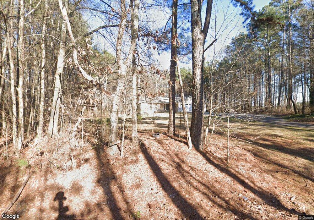
379 Maxwell Rd Dallas, GA 30157
East Paulding County NeighborhoodEstimated Value: $380,244 - $428,000
3
Beds
2
Baths
1,954
Sq Ft
$208/Sq Ft
Est. Value
About This Home
This home is located at 379 Maxwell Rd, Dallas, GA 30157 and is currently estimated at $407,061, approximately $208 per square foot. 379 Maxwell Rd is a home with nearby schools including Mcgarity Elementary School, P. B. Ritch Middle School, and East Paulding High School.
Ownership History
Date
Name
Owned For
Owner Type
Purchase Details
Closed on
Apr 25, 2024
Sold by
Clark Leslie Creel
Bought by
Clark Timothy Scott
Current Estimated Value
Purchase Details
Closed on
Oct 11, 2022
Sold by
Clark Samuel Thomas
Bought by
Clark Samuel Thomas and C/O Clark Funeral Home
Create a Home Valuation Report for This Property
The Home Valuation Report is an in-depth analysis detailing your home's value as well as a comparison with similar homes in the area
Home Values in the Area
Average Home Value in this Area
Purchase History
| Date | Buyer | Sale Price | Title Company |
|---|---|---|---|
| Clark Timothy Scott | -- | -- | |
| Clark Samuel Thomas | -- | -- |
Source: Public Records
Tax History Compared to Growth
Tax History
| Year | Tax Paid | Tax Assessment Tax Assessment Total Assessment is a certain percentage of the fair market value that is determined by local assessors to be the total taxable value of land and additions on the property. | Land | Improvement |
|---|---|---|---|---|
| 2024 | $3,430 | $137,880 | $24,680 | $113,200 |
| 2023 | $1,017 | $128,236 | $23,480 | $104,756 |
| 2022 | $899 | $112,080 | $19,680 | $92,400 |
| 2021 | $853 | $86,704 | $16,600 | $70,104 |
| 2020 | $793 | $76,440 | $15,800 | $60,640 |
| 2019 | $744 | $69,360 | $14,240 | $55,120 |
| 2018 | $1,076 | $58,768 | $15,080 | $43,688 |
| 2017 | $985 | $53,360 | $14,440 | $38,920 |
| 2016 | $829 | $46,588 | $14,440 | $32,148 |
| 2015 | $814 | $44,908 | $14,160 | $30,748 |
| 2014 | $1,221 | $40,548 | $13,000 | $27,548 |
| 2013 | -- | $36,240 | $14,280 | $21,960 |
Source: Public Records
Map
Nearby Homes
- 0 MacLand Rd Unit 10558702
- 258 Cristy Dr
- 3529 MacLand Rd
- 45 Waterloo Ct
- 334 Covington Dr
- 00 MacLand Rd
- 0B Hiram Acworth Hwy
- 0C Hiram Acworth Hwy
- 184 Darbys Crossing Ct
- 109 Darbys Crossing Ct
- 3278 MacLand Rd
- 135 Powder Creek Dr
- 17 Rackley Way
- 328 MacLand Springs Dr
- Boylston Plan at Old Mill Preserve
- Kittridge Plan at Old Mill Preserve
- Pendula Plan at Old Mill Preserve
- Wellton Plan at Old Mill Preserve
- Anglewood Plan at Old Mill Preserve
- 3089 MacLand Rd
- 0 MacLand Rd Unit 7424681
- 0 MacLand Rd Unit 7289806
- 0 MacLand Rd Unit 2978136
- 0 MacLand Rd Unit 7086593
- 0 MacLand Rd Unit 5138633
- 0 MacLand Rd Unit 5514614
- 315 Maxwell Rd
- 278 Maxwell Rd
- 3702 MacLand Rd
- 275 Maxwell Rd
- 3867 MacLand Rd
- 3869 MacLand Rd
- 273 Maxwell Rd
- 119 Christopher Dr
- 131 Christopher Dr
- 107 Christopher Dr
- 143 Christopher Dr
- 3760 MacLand Rd
- 91 Christopher Dr
- 97 Christopher Dr