379 Muscogee Dr N Ellijay, GA 30540
Estimated Value: $808,000 - $1,115,000
--
Bed
2
Baths
5,794
Sq Ft
$164/Sq Ft
Est. Value
About This Home
This home is located at 379 Muscogee Dr N, Ellijay, GA 30540 and is currently estimated at $952,790, approximately $164 per square foot. 379 Muscogee Dr N is a home located in Gilmer County with nearby schools including Ellijay Elementary School, Clear Creek Elementary School, and Clear Creek Middle School.
Ownership History
Date
Name
Owned For
Owner Type
Purchase Details
Closed on
Apr 8, 2002
Sold by
Stone P Benton
Bought by
Stone Stone P and Stone Misty W
Current Estimated Value
Purchase Details
Closed on
Apr 23, 1999
Sold by
Liles Billy
Bought by
Stone Stone P and Stone Mis
Create a Home Valuation Report for This Property
The Home Valuation Report is an in-depth analysis detailing your home's value as well as a comparison with similar homes in the area
Home Values in the Area
Average Home Value in this Area
Purchase History
| Date | Buyer | Sale Price | Title Company |
|---|---|---|---|
| Stone Stone P | -- | -- | |
| Stone P Benton | -- | -- | |
| Stone Stone P | $44,000 | -- |
Source: Public Records
Tax History Compared to Growth
Tax History
| Year | Tax Paid | Tax Assessment Tax Assessment Total Assessment is a certain percentage of the fair market value that is determined by local assessors to be the total taxable value of land and additions on the property. | Land | Improvement |
|---|---|---|---|---|
| 2025 | $5,096 | $87,176 | $86,600 | $576 |
| 2024 | $5,096 | $328,916 | $80,520 | $248,396 |
| 2023 | $5,009 | $313,196 | $64,800 | $248,396 |
| 2022 | $4,138 | $257,236 | $46,480 | $210,756 |
| 2021 | $3,843 | $195,556 | $33,960 | $161,596 |
| 2020 | $3,119 | $166,208 | $26,520 | $139,688 |
| 2019 | $3,209 | $166,208 | $26,520 | $139,688 |
| 2018 | $3,209 | $164,528 | $26,520 | $138,008 |
| 2017 | $2,968 | $145,384 | $26,520 | $118,864 |
| 2016 | $3,061 | $146,804 | $26,520 | $120,284 |
| 2015 | $2,700 | $149,120 | $41,120 | $108,000 |
| 2014 | $2,813 | $149,480 | $41,120 | $108,360 |
| 2013 | -- | $154,800 | $41,120 | $113,680 |
Source: Public Records
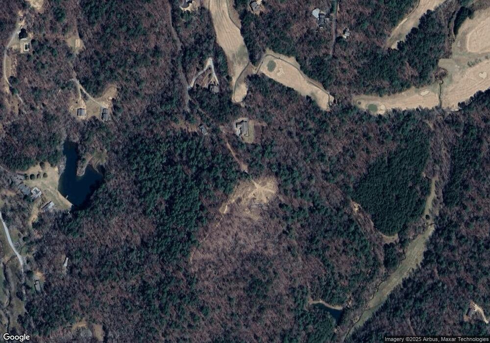
Map
Nearby Homes
- 573 Cataula Ct
- Lt 739 Hiawassee Ct
- Lt699 Choctaw Dr
- 577 Tonto Dr
- 695 Satsuma Ct
- LOT 546 Satsuma Ct
- 160 Nahunta Ct
- Lot 193 Shenendoa Dr
- LOT 195 Shenendoa Dr
- Lot 164 Shenendoa Dr
- LOT 194 Shenendoa Dr
- 0 Sapulpa Ct Unit 10048033
- 0 Sapulpa Ct Unit 7023680
- 12 Cherokee Dr
- 1075 Cherokee Dr
- LOT 546 Satsuma North Ct
- 574 Satsuma Ct
- 548 Satsuma Ct
- 607 S Satsuma Ct S
- 677 Parks Rd
- 400 Muscogee Dr N
- 365 Muscogee Dr N
- 718 Muscogee Dr N Unit 718
- 710 Muscogee Dr
- 115 Muscogee Dr N
- LT712 Muscogee Dr N
- L712 Muscogee Dr N
- LT705 Muscogee Dr N
- LT717 Muscogee Dr
- L703 Muscogee Dr N
- 245 Muscogee Dr N
- 0 Wedowee Ct
- 0 Wedowee Ct Unit 311217
- 0 Wedowee Ct Unit 8394309
- 0 Wedowee Ct Unit Lt 644 8919822
- 0 Wedowee Ct Unit LT 643 8568896
- 61 Muscogee Dr N Unit 702
- 61 Muscogee Dr N
- LT 699 Choctaw Dr