379 N 40th St Springdale, AR 72762
Estimated Value: $238,000 - $499,000
--
Bed
2
Baths
1,404
Sq Ft
$295/Sq Ft
Est. Value
About This Home
This home is located at 379 N 40th St, Springdale, AR 72762 and is currently estimated at $413,584, approximately $294 per square foot. 379 N 40th St is a home located in Washington County with nearby schools including Thurman G. Smith Elementary School, Central Junior High School, and Hellstern Middle School.
Ownership History
Date
Name
Owned For
Owner Type
Purchase Details
Closed on
Feb 28, 2018
Sold by
West Tom E and West Rhonda L
Bought by
Jcebja Development Llc
Current Estimated Value
Home Financials for this Owner
Home Financials are based on the most recent Mortgage that was taken out on this home.
Original Mortgage
$195,500
Outstanding Balance
$139,827
Interest Rate
4.04%
Mortgage Type
Future Advance Clause Open End Mortgage
Estimated Equity
$273,757
Purchase Details
Closed on
Jan 1, 1989
Bought by
Ferguson Harold and Ferguson Geraldine
Create a Home Valuation Report for This Property
The Home Valuation Report is an in-depth analysis detailing your home's value as well as a comparison with similar homes in the area
Home Values in the Area
Average Home Value in this Area
Purchase History
| Date | Buyer | Sale Price | Title Company |
|---|---|---|---|
| Jcebja Development Llc | $230,000 | Waco Title Co | |
| Ferguson Harold | -- | -- |
Source: Public Records
Mortgage History
| Date | Status | Borrower | Loan Amount |
|---|---|---|---|
| Open | Jcebja Development Llc | $195,500 |
Source: Public Records
Tax History Compared to Growth
Tax History
| Year | Tax Paid | Tax Assessment Tax Assessment Total Assessment is a certain percentage of the fair market value that is determined by local assessors to be the total taxable value of land and additions on the property. | Land | Improvement |
|---|---|---|---|---|
| 2024 | $3,678 | $108,200 | $35,140 | $73,060 |
| 2023 | $3,436 | $108,200 | $35,140 | $73,060 |
| 2022 | $3,124 | $59,280 | $20,570 | $38,710 |
| 2021 | $3,124 | $59,280 | $20,570 | $38,710 |
| 2020 | $3,124 | $59,280 | $20,570 | $38,710 |
| 2019 | $3,061 | $58,080 | $20,570 | $37,510 |
| 2018 | $2,167 | $58,080 | $20,570 | $37,510 |
| 2017 | $2,143 | $58,080 | $20,570 | $37,510 |
| 2016 | $2,143 | $58,080 | $20,570 | $37,510 |
| 2015 | $2,143 | $58,080 | $20,570 | $37,510 |
| 2014 | $2,276 | $50,302 | $14,996 | $35,306 |
Source: Public Records
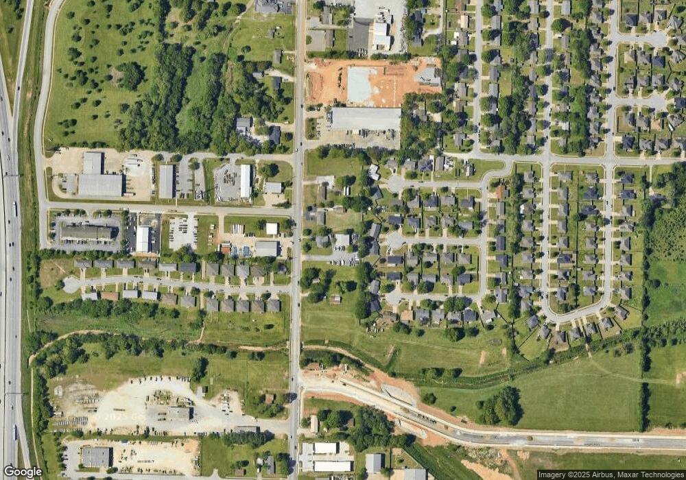
Map
Nearby Homes
- 309 Andy St
- 324 Liem Cir
- TBD Treat Ln
- 524 Westford St
- 718 N 40th St
- 3602 W Emma Ave
- 746 Westbury St
- 1101 Karena St
- 522 S 40th St
- 2988 Mimosa Ave
- 5112 Moose Hollow Terrace
- 5092 Moose Hollow Terrace
- 5004 Moose Hollow Terrace
- 2916 Buckeye Ave
- 1491 Seneca St
- 2306 Ina Ave
- 7.4 AC Elm Springs Oak Grove Rd
- 302 S Gutensohn Rd
- 695 Oak Grove Rd
- 657 Oak Grove Rd
- 411 N 40th St
- 325 N 40th St
- 3837 Colburn Ln
- 3838 Colburn Ln
- 3836 Kenny Ln
- 447 N 40th St
- 3823 Colburn Ln
- 340 S 40th St
- 3824 Colburn Ln
- Lot 4 Dixie Industrial Ave
- 0 Dixie Industrial Ave Unit 615649
- 0 Dixie Industrial Ave Unit 655264
- 0 Dixie Industrial Ave Unit 678381
- 0 Dixie Industrial Ave Unit 678418
- 3822 Kenny Ln
- 3839 Derrick Ln
- 3835 Kenny Ln
- 3825 Derrick Ln
- 4052 A & B Delmon St
- 4052 Delmon Ln