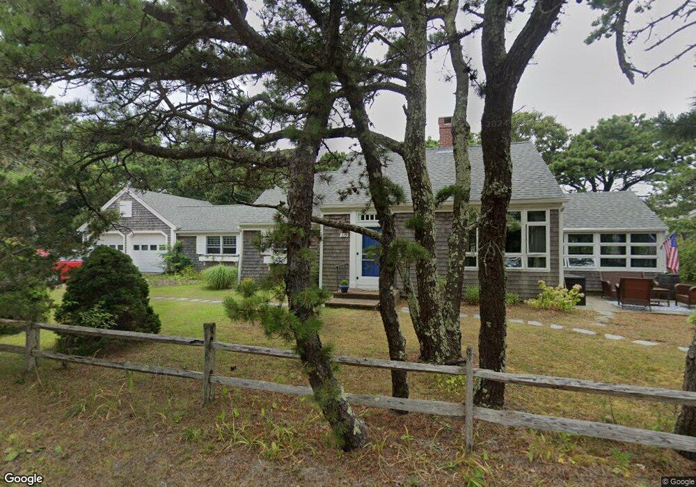
379 Nellie Rd Wellfleet, MA 2667
Estimated Value: $948,835 - $1,615,000
4
Beds
2
Baths
1,804
Sq Ft
$699/Sq Ft
Est. Value
About This Home
This home is located at 379 Nellie Rd, Wellfleet, MA 2667 and is currently estimated at $1,260,209, approximately $698 per square foot. 379 Nellie Rd is a home located in Barnstable County with nearby schools including Wellfleet Elementary School, Nauset Regional Middle School, and Nauset Regional High School.
Ownership History
Date
Name
Owned For
Owner Type
Purchase Details
Closed on
Jul 7, 2006
Sold by
Snow Christopher J and Huyler Dorothy
Bought by
Badeau David H and Sullivan Frances M
Current Estimated Value
Purchase Details
Closed on
Sep 13, 1995
Sold by
Cummings Katharine A
Bought by
Huyler Dorothy
Create a Home Valuation Report for This Property
The Home Valuation Report is an in-depth analysis detailing your home's value as well as a comparison with similar homes in the area
Home Values in the Area
Average Home Value in this Area
Purchase History
| Date | Buyer | Sale Price | Title Company |
|---|---|---|---|
| Badeau David H | $860,000 | -- | |
| Badeau David H | $860,000 | -- | |
| Huyler Dorothy | $4,500 | -- | |
| Huyler Dorothy | $4,500 | -- |
Source: Public Records
Tax History Compared to Growth
Tax History
| Year | Tax Paid | Tax Assessment Tax Assessment Total Assessment is a certain percentage of the fair market value that is determined by local assessors to be the total taxable value of land and additions on the property. | Land | Improvement |
|---|---|---|---|---|
| 2025 | $6,383 | $897,700 | $455,500 | $442,200 |
| 2024 | $5,934 | $868,800 | $433,800 | $435,000 |
| 2023 | $5,275 | $757,900 | $367,600 | $390,300 |
| 2022 | $4,714 | $605,900 | $322,500 | $283,400 |
| 2021 | $4,280 | $544,500 | $287,900 | $256,600 |
| 2020 | $4,076 | $525,900 | $293,000 | $232,900 |
| 2019 | $4,004 | $518,000 | $293,000 | $225,000 |
| 2018 | $3,708 | $516,500 | $293,000 | $223,500 |
| 2017 | $3,490 | $514,800 | $293,000 | $221,800 |
| 2016 | $4,083 | $597,800 | $380,100 | $217,700 |
| 2015 | $4,016 | $592,400 | $376,300 | $216,100 |
Source: Public Records
Map
Nearby Homes
- 175 Cliff Rd
- 60 Long Ave Unit E
- 25 1st Ave
- 175 Delphi Path
- 80 Woodlot Rd
- 95 Barker St
- 90 Paine Hollow Rd
- 55 Harvard St
- 1937 State Hwy Rte 6 Unit 8
- 125 Governor Foss Dr
- 2032 State Hwy Rte 6 Unit F/ (6)
- 30 Sam Hollow Rd
- 40 Leilla Rich Dr
- 245 Paine Hollow Rd
- 40 Georges Way
- 215 Pilgrim Spring Rd Unit 6
- 20 Lils Way
- 345 Cove Rd
- 90 Blue Heron Rd
- 65 Belding Way
- 360 Nellie Rd
- 365 Wilson Ave
- 65 Ocean View Ave Unit S
- 65 Ocean View Ave Unit R
- 359 Wilson Ave
- 355 Nellie Rd
- 66 Wilson Ave
- 69 Wilson Ave
- 390 Nellie Rd
- 353 Wilson Ave
- 370 Wilson Ave Unit D
- 370 Wilson Ave Unit C
- 370 Wilson Ave Unit B
- 370 Wilson Ave Unit 4
- 370 Wilson Ave Unit 5
- 70 Rockwell Ave
- 391 Wilson Ave Unit Q
- 391 Wilson Ave Unit 17
- 400 Nellie Rd
- 345 Wilson Ave