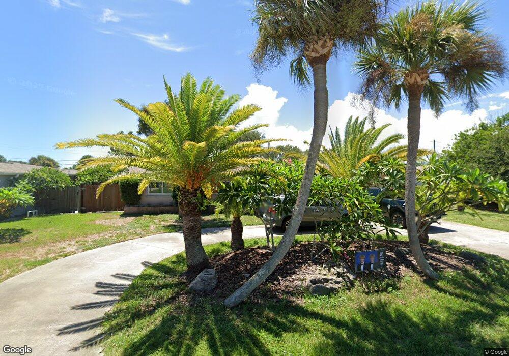
379 Norwood Ave Satellite Beach, FL 32937
Estimated Value: $495,424 - $530,000
3
Beds
2
Baths
1,929
Sq Ft
$266/Sq Ft
Est. Value
About This Home
This home is located at 379 Norwood Ave, Satellite Beach, FL 32937 and is currently estimated at $513,356, approximately $266 per square foot. 379 Norwood Ave is a home located in Brevard County with nearby schools including Surfside Elementary School, Satellite Senior High School, and DeLaura Middle School.
Ownership History
Date
Name
Owned For
Owner Type
Purchase Details
Closed on
Dec 26, 2009
Sold by
Miranda Shirley J
Bought by
Coyle Clifton Roy
Current Estimated Value
Home Financials for this Owner
Home Financials are based on the most recent Mortgage that was taken out on this home.
Original Mortgage
$172,812
Outstanding Balance
$115,176
Interest Rate
5.25%
Mortgage Type
FHA
Estimated Equity
$398,180
Create a Home Valuation Report for This Property
The Home Valuation Report is an in-depth analysis detailing your home's value as well as a comparison with similar homes in the area
Home Values in the Area
Average Home Value in this Area
Purchase History
| Date | Buyer | Sale Price | Title Company |
|---|---|---|---|
| Coyle Clifton Roy | $176,000 | State Title Partners Llp |
Source: Public Records
Mortgage History
| Date | Status | Borrower | Loan Amount |
|---|---|---|---|
| Open | Coyle Clifton Roy | $172,812 |
Source: Public Records
Tax History Compared to Growth
Tax History
| Year | Tax Paid | Tax Assessment Tax Assessment Total Assessment is a certain percentage of the fair market value that is determined by local assessors to be the total taxable value of land and additions on the property. | Land | Improvement |
|---|---|---|---|---|
| 2025 | $2,259 | $155,030 | -- | -- |
| 2024 | $2,216 | $150,670 | -- | -- |
| 2023 | $2,216 | $146,290 | $0 | $0 |
| 2022 | $2,068 | $142,030 | $0 | $0 |
| 2021 | $2,119 | $137,900 | $0 | $0 |
| 2020 | $2,109 | $136,000 | $0 | $0 |
| 2019 | $2,089 | $132,950 | $0 | $0 |
| 2018 | $2,085 | $130,480 | $0 | $0 |
| 2017 | $1,930 | $127,800 | $0 | $0 |
| 2016 | $1,931 | $125,180 | $80,000 | $45,180 |
| 2015 | $1,975 | $124,310 | $70,000 | $54,310 |
| 2014 | $1,975 | $123,330 | $65,000 | $58,330 |
Source: Public Records
Map
Nearby Homes
- 370 Cinnamon Dr
- 368 Ocean Spray Ave
- 366 Ocean Spray Ave
- 320 Glenwood Ave
- 295 Cinnamon Dr
- 310 Glenwood Ave
- 298 Harwood Ave
- 348 Sherwood Ave
- 230 Harwood Ave
- 325 Park Ave
- 210 Queens Ct
- 445 Saint Johns Dr
- 545 Teakwood Ave
- 445 Park Ave
- 170 Norwood Ave
- 484 Greenway Ave
- 200 Jason Ct
- 225 Hedgecock Ct
- 1326 Highway A1a
- 1341 S Patrick Dr
- 389 Norwood Ave
- 369 Norwood Ave
- 380 Cinnamon Dr
- 390 Cinnamon Dr
- 399 Norwood Ave
- 359 Norwood Ave
- 380 Norwood Ave
- 398 Cinnamon Dr
- 395397 Cinnamon Dr
- 384 Norwood Ave
- 370 Norwood Ave
- 390 Norwood Ave
- 350 Norwood Ave
- 349 Norwood Ave
- 360 Cinnamon Dr
- 385 Cinnamon Dr
- 375 Cinnamon Dr
- 401 Norwood Ave
- 379 Harwood Ave
- 395 Cinnamon Dr