379 Old Reesedale Rd Adrian, PA 16210
Washington Township NeighborhoodEstimated Value: $150,000 - $242,893
3
Beds
1
Bath
1,144
Sq Ft
$172/Sq Ft
Est. Value
About This Home
This home is located at 379 Old Reesedale Rd, Adrian, PA 16210 and is currently estimated at $197,298, approximately $172 per square foot. 379 Old Reesedale Rd is a home located in Armstrong County with nearby schools including West Hills Intermediate School and West Hills Primary School.
Ownership History
Date
Name
Owned For
Owner Type
Purchase Details
Closed on
Jan 11, 1983
Current Estimated Value
Create a Home Valuation Report for This Property
The Home Valuation Report is an in-depth analysis detailing your home's value as well as a comparison with similar homes in the area
Home Values in the Area
Average Home Value in this Area
Purchase History
| Date | Buyer | Sale Price | Title Company |
|---|---|---|---|
| -- | $1,000 | -- |
Source: Public Records
Tax History Compared to Growth
Tax History
| Year | Tax Paid | Tax Assessment Tax Assessment Total Assessment is a certain percentage of the fair market value that is determined by local assessors to be the total taxable value of land and additions on the property. | Land | Improvement |
|---|---|---|---|---|
| 2025 | $4,063 | $47,270 | $27,440 | $19,830 |
| 2024 | $3,827 | $47,270 | $27,440 | $19,830 |
| 2023 | $3,173 | $47,270 | $27,440 | $19,830 |
| 2022 | $3,173 | $47,270 | $27,440 | $19,830 |
| 2021 | $3,173 | $47,270 | $27,440 | $19,830 |
| 2020 | $3,173 | $47,270 | $27,440 | $19,830 |
| 2019 | $3,173 | $47,270 | $27,440 | $19,830 |
| 2018 | $3,169 | $39,200 | $10,865 | $28,335 |
| 2017 | $3,146 | $47,270 | $27,440 | $19,830 |
| 2016 | $3,146 | $47,270 | $27,440 | $19,830 |
| 2015 | $2,803 | $47,270 | $27,440 | $19,830 |
| 2014 | $2,803 | $47,270 | $27,440 | $19,830 |
Source: Public Records
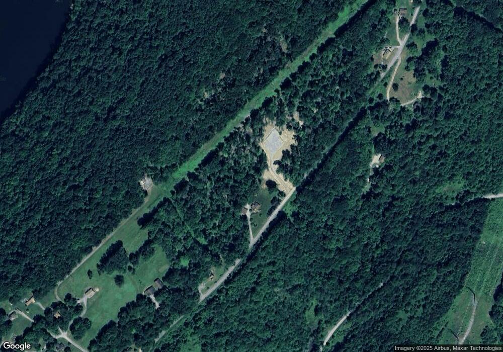
Map
Nearby Homes
- 712 Stewartson Rd
- 612 State Route 1031
- 0 Silver Rock Rd
- Spot Rd
- 1405 Madison Rd
- 174 Mcmillen Rd
- 1028 State Route 268
- 464 State Route 1027
- 1182 State Route 1035
- 1060 Wattersonville Rd
- 269 Boltz Rd
- 1594 Johnston Ave
- 487 E Brady Rd
- 1408 Orr Ave
- 223 Cedar Dr
- 336 Walkchalk Rd
- 00 Phillipston Rd
- 1017 Johnston Ave
- 422 Saint Charles Rd
- 414 North Ave
- 78 Po Box
- 15 Po Box
- 361 Old Reesedale Rd
- 129 White Dr
- 343 Old Reesedale Rd
- 123 White Dr
- 116 Jacks Dr
- 425 Old Reesedale Rd
- 337 Old Reesedale Rd
- 111 White Dr
- 103 Jacks Dr
- 121 Jacks Dr
- 439 Old Reesedale Rd
- 324 Old Reesedale Rd
- 125 Jacks Dr
- 124 Jacks Dr
- 321 Old Reesedale Rd
- 509 Johns Rd
- 348 Hooks Station Rd
- 214 Bella Lieu Rd