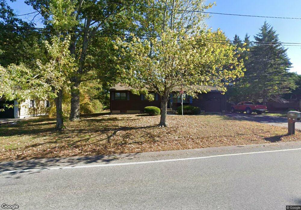
379 Orchard St Millis, MA 02054
Estimated Value: $500,683 - $602,000
3
Beds
1
Bath
988
Sq Ft
$566/Sq Ft
Est. Value
About This Home
This home is located at 379 Orchard St, Millis, MA 02054 and is currently estimated at $558,921, approximately $565 per square foot. 379 Orchard St is a home located in Norfolk County with nearby schools including Clyde F Brown, Millis Middle School, and Millis High School.
Ownership History
Date
Name
Owned For
Owner Type
Purchase Details
Closed on
Jul 24, 2024
Sold by
Goes Anne M
Bought by
Goes Orchard Rt and Goes
Current Estimated Value
Purchase Details
Closed on
Nov 3, 2023
Sold by
Goes Manuel and Goes Anne M
Bought by
Goes Anne M
Purchase Details
Closed on
Jul 22, 2020
Sold by
Goes Manuel and Goes Anne M
Bought by
Goes Manuel and Goes Selene M
Purchase Details
Closed on
Oct 9, 1962
Bought by
Goes Manuel and Goes Annie M
Create a Home Valuation Report for This Property
The Home Valuation Report is an in-depth analysis detailing your home's value as well as a comparison with similar homes in the area
Home Values in the Area
Average Home Value in this Area
Purchase History
| Date | Buyer | Sale Price | Title Company |
|---|---|---|---|
| Goes Orchard Rt | -- | None Available | |
| Goes Orchard Rt | -- | None Available | |
| Goes Anne M | -- | None Available | |
| Goes Anne M | -- | None Available | |
| Goes Manuel | -- | None Available | |
| Goes Manuel | -- | None Available | |
| Goes Manuel | $15,500 | -- |
Source: Public Records
Tax History Compared to Growth
Tax History
| Year | Tax Paid | Tax Assessment Tax Assessment Total Assessment is a certain percentage of the fair market value that is determined by local assessors to be the total taxable value of land and additions on the property. | Land | Improvement |
|---|---|---|---|---|
| 2025 | $6,803 | $414,800 | $193,200 | $221,600 |
| 2024 | $6,680 | $406,800 | $193,200 | $213,600 |
| 2023 | $5,896 | $337,100 | $145,100 | $192,000 |
| 2022 | $6,262 | $331,700 | $152,700 | $179,000 |
| 2021 | $6,414 | $326,900 | $152,700 | $174,200 |
| 2020 | $6,016 | $298,700 | $142,700 | $156,000 |
| 2019 | $4,711 | $251,900 | $103,100 | $148,800 |
| 2018 | $4,539 | $251,900 | $103,100 | $148,800 |
| 2017 | $4,437 | $240,900 | $105,800 | $135,100 |
| 2016 | $4,201 | $240,900 | $105,800 | $135,100 |
| 2015 | $4,095 | $240,900 | $105,800 | $135,100 |
Source: Public Records
Map
Nearby Homes
- 6 Rivendell Ln
- 00000 S Main St and Bullard St
- 21 Spywood Rd
- 84 Middlesex St
- 38 Bullard St
- 27 Spywood Rd
- 54 Spywood Rd
- 2 Towne Lyne Rd
- 50 Walnut St
- 210 Causeway St
- 324 Union St Unit 6
- 220 S Main St
- 27 Pollard Dr
- 9 Bogastow Cir
- 37 Crestview Dr
- 22 May Rd
- 20 Nason Hill Rd
- 75 Bridge St
- 2 April Way
- 6 April Way
- 377 Orchard St
- 383 Orchard St
- 375 Orchard St
- 387 Orchard St
- 389 Orchard St
- 1 Evergreen Terrace
- 370 Orchard St
- 376 Orchard St
- 5 Evergreen Terrace
- 17 Evergreen Terrace
- Lot 19 Evergreen Terrace
- 9 Evergreen Terrace
- 364 Orchard St
- 2 Evergreen Terrace
- 6 Evergreen Terrace
- 13 Evergreen Terrace
- 10 Evergreen Terrace
- 2 Beech St
- 1 Beech St
- 354 Orchard St