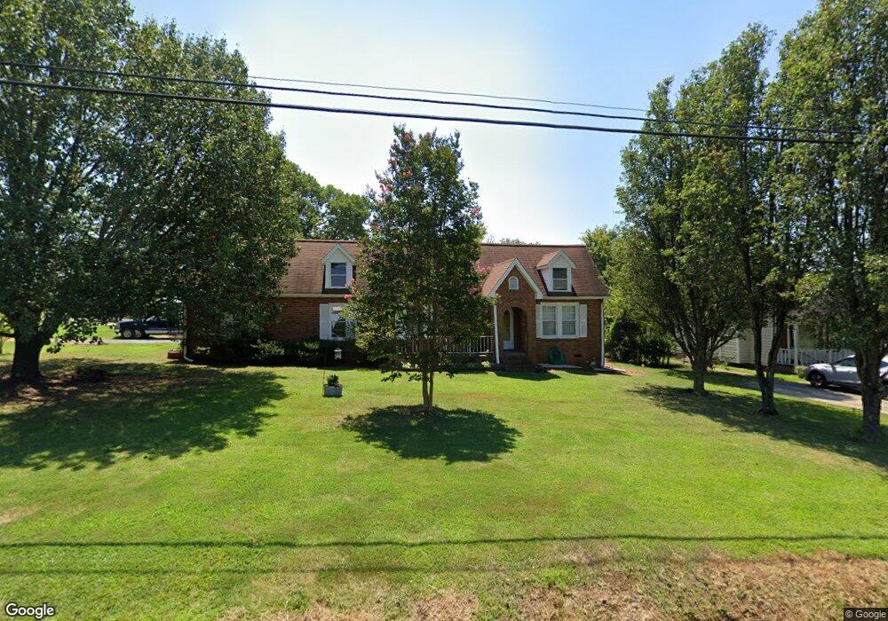
379 Roberta Rd SW Concord, NC 28027
Estimated Value: $294,000 - $318,825
3
Beds
2
Baths
1,680
Sq Ft
$183/Sq Ft
Est. Value
About This Home
This home is located at 379 Roberta Rd SW, Concord, NC 28027 and is currently estimated at $307,456, approximately $183 per square foot. 379 Roberta Rd SW is a home located in Cabarrus County with nearby schools including Wolf Meadow Elementary School, J.N. Fries Middle School, and Branch Christian Academy Concord.
Ownership History
Date
Name
Owned For
Owner Type
Purchase Details
Closed on
Oct 26, 2000
Sold by
Terry Lewis and Lewis Marie
Bought by
Wagoner Keith L and Wagoner Mary B
Current Estimated Value
Purchase Details
Closed on
Apr 16, 1998
Sold by
Wilkes Eli Alston and Wilkes Sandra Stancliff
Bought by
Lewis Terry and Lewis Marie
Home Financials for this Owner
Home Financials are based on the most recent Mortgage that was taken out on this home.
Original Mortgage
$103,477
Interest Rate
7.09%
Mortgage Type
FHA
Purchase Details
Closed on
Jun 1, 1996
Create a Home Valuation Report for This Property
The Home Valuation Report is an in-depth analysis detailing your home's value as well as a comparison with similar homes in the area
Home Values in the Area
Average Home Value in this Area
Purchase History
| Date | Buyer | Sale Price | Title Company |
|---|---|---|---|
| Wagoner Keith L | $116,000 | -- | |
| Lewis Terry | $104,000 | -- | |
| -- | $73,000 | -- |
Source: Public Records
Mortgage History
| Date | Status | Borrower | Loan Amount |
|---|---|---|---|
| Previous Owner | Lewis Terry | $103,477 |
Source: Public Records
Tax History
| Year | Tax Paid | Tax Assessment Tax Assessment Total Assessment is a certain percentage of the fair market value that is determined by local assessors to be the total taxable value of land and additions on the property. | Land | Improvement |
|---|---|---|---|---|
| 2025 | -- | $268,600 | $66,000 | $202,600 |
| 2024 | $2,675 | $268,600 | $66,000 | $202,600 |
| 2023 | $1,979 | $162,210 | $38,000 | $124,210 |
| 2022 | $1,979 | $162,210 | $38,000 | $124,210 |
| 2021 | $1,979 | $162,210 | $38,000 | $124,210 |
| 2020 | $1,979 | $162,210 | $38,000 | $124,210 |
| 2019 | $1,571 | $128,760 | $23,000 | $105,760 |
| 2018 | $1,545 | $128,760 | $23,000 | $105,760 |
| 2017 | $1,519 | $128,760 | $23,000 | $105,760 |
| 2016 | $901 | $127,270 | $23,000 | $104,270 |
| 2015 | $1,502 | $127,270 | $23,000 | $104,270 |
| 2014 | $1,502 | $127,270 | $23,000 | $104,270 |
Source: Public Records
Map
Nearby Homes
- 3396 Farm Lake Dr SW
- 3408 Farm Lake Dr SW
- 1061 Rembrandt Dr SW
- 1212 Kent Downs Ave SW
- 1239 Kent Downs Ave SW
- 441 Kingfield Dr SW
- 2579 Saddlewood Cir SW
- 3251 Oulten St SW
- 3244 Oulten St SW
- 831 Rubens Rd SW
- 1295 Farm Branch Dr SW
- 3673 Farm Lake Dr SW
- 585 Love St SW
- 1255 Old Charlotte Rd
- 1067 Old Charlotte Rd
- 3057 Fountainview Ave
- 1283 Maple Shade Rd SW
- 37 Oak Dr SW
- 933 Old Charlotte Rd
- 397 Faith Dr SW
- 381 Roberta Rd SW
- 1006 Van Gogh Dr SW
- 385 Roberta Rd SW
- 1010 Van Gogh Dr SW
- 373 Roberta Rd SW
- 389 Roberta Rd SW
- 389 Roberta Rd SW Unit 90
- 1014 Van Gogh Dr SW
- 1018 Van Gogh Dr SW
- 701 Rubens Rd SW
- 1009 Van Gogh Dr SW
- 391 Roberta Rd SW
- 705 Rubens Rd SW
- 367 Roberta Rd SW
- 1012 Rembrandt Dr SW
- 395 Roberta Rd SW
- 1026 Van Gogh Dr SW
- 710 Rubens Rd SW
- 1021 Rembrandt Dr SW
- 711 Rubens Rd SW
Your Personal Tour Guide
Ask me questions while you tour the home.