379 Ryan Rd Mount Airy, NC 27030
Estimated Value: $288,000 - $357,000
3
Beds
2
Baths
1,998
Sq Ft
$161/Sq Ft
Est. Value
About This Home
This home is located at 379 Ryan Rd, Mount Airy, NC 27030 and is currently estimated at $322,311, approximately $161 per square foot. 379 Ryan Rd is a home located in Surry County with nearby schools including Westfield Elementary School, Pilot Mountain Middle School, and East Surry High School.
Ownership History
Date
Name
Owned For
Owner Type
Purchase Details
Closed on
Jul 11, 2025
Sold by
Davis John Edward
Bought by
Davis Mark Gregory and Davis Judy Mabe
Current Estimated Value
Purchase Details
Closed on
Jul 10, 2025
Sold by
Gregory Davis Mark and Mabe Judy
Bought by
Davis John Edward
Purchase Details
Closed on
Oct 18, 2021
Sold by
Davis Warren Ed Est
Bought by
Davis John E and Davis Mark G
Purchase Details
Closed on
Mar 1, 1957
Create a Home Valuation Report for This Property
The Home Valuation Report is an in-depth analysis detailing your home's value as well as a comparison with similar homes in the area
Purchase History
| Date | Buyer | Sale Price | Title Company |
|---|---|---|---|
| Davis Mark Gregory | -- | None Listed On Document | |
| Davis Mark Gregory | -- | None Listed On Document | |
| Davis John Edward | -- | None Listed On Document | |
| Davis John Edward | -- | None Listed On Document | |
| Davis John E | $255,000 | None Available | |
| -- | -- | -- |
Source: Public Records
Tax History
| Year | Tax Paid | Tax Assessment Tax Assessment Total Assessment is a certain percentage of the fair market value that is determined by local assessors to be the total taxable value of land and additions on the property. | Land | Improvement |
|---|---|---|---|---|
| 2025 | $1,535 | $15,460 | $0 | $0 |
| 2024 | $1,277 | $188,800 | $0 | $0 |
| 2023 | $1,213 | $188,800 | $0 | $0 |
| 2022 | $1,208 | $181,250 | $0 | $0 |
| 2021 | $1,219 | $179,840 | $0 | $0 |
| 2020 | $1,219 | $173,000 | $0 | $0 |
| 2019 | $1,216 | $173,640 | $0 | $0 |
| 2018 | $1,169 | $173,640 | $0 | $0 |
| 2017 | $1,152 | $173,640 | $0 | $0 |
| 2016 | $1,152 | $173,640 | $0 | $0 |
| 2013 | -- | $174,540 | $0 | $0 |
Source: Public Records
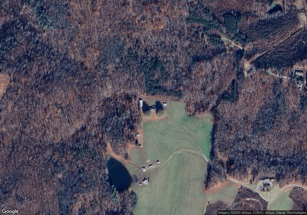
Map
Nearby Homes
- 00 Albion Church Rd
- 1507 Rogers Rd
- 106 Daniels Dell Ln
- 733 Slate Mountain Rd
- 000 N Carolina 89
- 1195 Rogers Rd
- Lot 4,5,6 Sideview Ln
- 3391 Asbury Rd
- 1178 Sunset Ridge Rd
- TBD Asbury Rd
- 2051 Toms Creek Church Rd
- 4140 Westfield Rd
- 0 Locust Grove Rd
- 2828 E Pine St
- 00 Locust Grove Rd Unit 4
- 00 Locust Grove Rd Unit 2
- 00 Locust Grove Rd Unit 3
- 0 Blue Hollow Rd Unit 33 1176021
- 0 Blue Hollow Rd Unit 23105199
- 1135 Daisy Creek Farm Rd
- 244 Ryan Rd
- 17AC Woodville Rd Unit 17Ac
- 797 Woodville Rd
- 193 Roughrider Trail
- 148 Ryan Rd
- 603 Epperson Church Rd
- 000 Swansboro Ln
- 887 Woodville Rd
- 190 Knoxville Ln
- 1033 Woodville Rd
- 1096 Woodville Rd
- 345 Epperson Church Rd
- 312 Epperson Church Rd
- 148 Swansboro Ln
- 691 Epperson Church Rd
- 789 Woodville Rd
- 1000 Woodville Rd
- 882 Woodville Rd
- 1159 Woodville Rd
- 369 Brown Rd
Your Personal Tour Guide
Ask me questions while you tour the home.