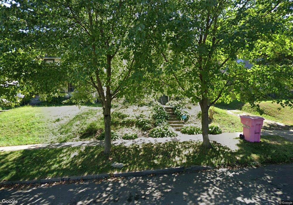
379 Sherman Place Mansfield, OH 44903
Estimated Value: $78,000 - $98,000
4
Beds
1
Bath
2,029
Sq Ft
$43/Sq Ft
Est. Value
About This Home
This home is located at 379 Sherman Place, Mansfield, OH 44903 and is currently estimated at $87,991, approximately $43 per square foot. 379 Sherman Place is a home located in Richland County with nearby schools including Goal Digital Academy, Mansfield Elective Academy, and St. Peter's High School/Junior High.
Ownership History
Date
Name
Owned For
Owner Type
Purchase Details
Closed on
Apr 28, 2006
Sold by
Harrell George Allen and Case #05-790D
Bought by
Federal National Mortgage Association
Current Estimated Value
Purchase Details
Closed on
May 17, 2000
Sold by
Hess James T
Bought by
Harrell G Allen Candace
Home Financials for this Owner
Home Financials are based on the most recent Mortgage that was taken out on this home.
Original Mortgage
$34,000
Interest Rate
11.49%
Mortgage Type
New Conventional
Purchase Details
Closed on
Jul 1, 1986
Create a Home Valuation Report for This Property
The Home Valuation Report is an in-depth analysis detailing your home's value as well as a comparison with similar homes in the area
Home Values in the Area
Average Home Value in this Area
Purchase History
| Date | Buyer | Sale Price | Title Company |
|---|---|---|---|
| Federal National Mortgage Association | $28,000 | None Available | |
| Harrell G Allen Candace | $40,000 | -- | |
| -- | $17,000 | -- |
Source: Public Records
Mortgage History
| Date | Status | Borrower | Loan Amount |
|---|---|---|---|
| Previous Owner | Harrell G Allen Candace | $34,000 |
Source: Public Records
Tax History Compared to Growth
Tax History
| Year | Tax Paid | Tax Assessment Tax Assessment Total Assessment is a certain percentage of the fair market value that is determined by local assessors to be the total taxable value of land and additions on the property. | Land | Improvement |
|---|---|---|---|---|
| 2024 | $473 | $19,910 | $1,720 | $18,190 |
| 2023 | $473 | $19,910 | $1,720 | $18,190 |
| 2022 | $410 | $16,080 | $1,660 | $14,420 |
| 2021 | $412 | $16,080 | $1,660 | $14,420 |
| 2020 | $422 | $16,080 | $1,660 | $14,420 |
| 2019 | $467 | $16,080 | $1,660 | $14,420 |
| 2018 | $461 | $16,080 | $1,660 | $14,420 |
| 2017 | $325 | $16,080 | $1,660 | $14,420 |
| 2016 | $534 | $17,220 | $3,500 | $13,720 |
| 2015 | $511 | $17,220 | $3,500 | $13,720 |
| 2014 | $504 | $17,220 | $3,500 | $13,720 |
| 2012 | $425 | $18,130 | $3,690 | $14,440 |
Source: Public Records
Map
Nearby Homes