379 Smith Rd Unit RANCH 4 WHETSTONE MO Crested Butte, CO 81224
Estimated Value: $3,030,000 - $3,153,000
4
Beds
4
Baths
2,959
Sq Ft
$1,049/Sq Ft
Est. Value
About This Home
This home is located at 379 Smith Rd Unit RANCH 4 WHETSTONE MO, Crested Butte, CO 81224 and is currently estimated at $3,103,346, approximately $1,048 per square foot. 379 Smith Rd Unit RANCH 4 WHETSTONE MO is a home located in Gunnison County with nearby schools including Gunnison Elementary School, Crested Butte Community School, and Gunnison Middle School.
Ownership History
Date
Name
Owned For
Owner Type
Purchase Details
Closed on
Nov 19, 2021
Sold by
Griggs Rhett J
Bought by
Watts Eric P
Current Estimated Value
Home Financials for this Owner
Home Financials are based on the most recent Mortgage that was taken out on this home.
Original Mortgage
$646,500
Outstanding Balance
$592,406
Interest Rate
2.99%
Mortgage Type
New Conventional
Estimated Equity
$2,510,940
Purchase Details
Closed on
Apr 15, 2011
Sold by
Us Bank Na
Bought by
Griggs Rhett J
Home Financials for this Owner
Home Financials are based on the most recent Mortgage that was taken out on this home.
Original Mortgage
$999,999
Interest Rate
4.37%
Mortgage Type
Adjustable Rate Mortgage/ARM
Create a Home Valuation Report for This Property
The Home Valuation Report is an in-depth analysis detailing your home's value as well as a comparison with similar homes in the area
Home Values in the Area
Average Home Value in this Area
Purchase History
| Date | Buyer | Sale Price | Title Company |
|---|---|---|---|
| Watts Eric P | $2,480,000 | Land Title Guarantee Company | |
| Griggs Rhett J | $1,295,000 | None Available |
Source: Public Records
Mortgage History
| Date | Status | Borrower | Loan Amount |
|---|---|---|---|
| Open | Watts Eric P | $646,500 | |
| Previous Owner | Griggs Rhett J | $999,999 |
Source: Public Records
Tax History Compared to Growth
Tax History
| Year | Tax Paid | Tax Assessment Tax Assessment Total Assessment is a certain percentage of the fair market value that is determined by local assessors to be the total taxable value of land and additions on the property. | Land | Improvement |
|---|---|---|---|---|
| 2024 | $11,002 | $185,330 | $47,950 | $137,380 |
| 2023 | $11,002 | $181,650 | $47,020 | $134,630 |
| 2022 | $10,655 | $156,660 | $28,690 | $127,970 |
| 2021 | $9,454 | $161,290 | $29,630 | $131,660 |
| 2020 | $7,738 | $133,460 | $29,800 | $103,660 |
| 2019 | $7,563 | $133,460 | $29,800 | $103,660 |
| 2018 | $6,995 | $119,270 | $23,950 | $95,320 |
| 2017 | $7,066 | $119,270 | $23,950 | $95,320 |
| 2016 | $4,580 | $82,320 | $24,200 | $58,120 |
| 2015 | $1,828 | $82,320 | $24,200 | $58,120 |
| 2014 | $1,828 | $64,840 | $19,990 | $44,850 |
Source: Public Records
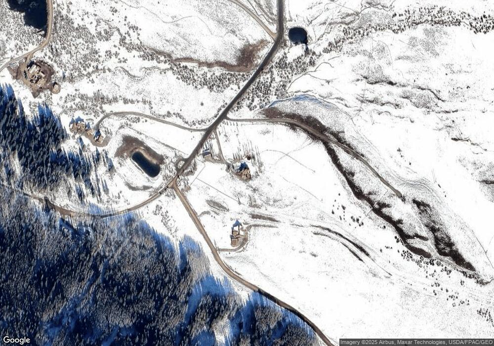
Map
Nearby Homes
- Lot 19 Hidden Mine Way
- 179 Aspen Ln
- 38 Slate Ln
- 88 Vista Ct
- 64 Vista Ct
- 140 Alpine Ct
- 166 & 168 Coyote Cir
- 402 Eagle Ln
- 115 Larkspur Loop
- 491 Slate River Dr
- 180 Elk Valley Rd Unit 124
- 180 Elk Valley Rd Unit 109
- 180 Elk Valley Rd Unit 110
- 180 Elk Valley Rd Unit 108
- 180 Elk Valley Rd Unit 102
- 180 Elk Valley Rd Unit 118
- 1294 County Road 734
- 180 Elk Valley Rd Unit 112
- 180 Elk Valley Rd Unit 114
- 101 Elk Valley Rd Unit D
- 379 Smith Rd Unit Ranch 4, Whetstone M
- 379 Smith Rd
- 94 Hidden Mine Rd Unit Lot 5, Hidden Mine R
- 94 Hidden Mine Rd
- 0 Smith Rd Unit 9226
- 0 Smith Rd Unit 6948
- 0 Smith Rd Unit 10457
- 0 Smith Rd Unit Ranch 4, Whetstone M
- 0 Smith Rd Unit RANCH 4 WHETSTONE MO
- 0 Smith Rd Unit 11631
- 0 Smith Rd Unit 13449
- 0 Smith Rd Unit 725292
- 77 Hidden Mine Rd
- 0 Hidden Mine Ln Unit 762431
- 0 Hidden Mine Ln Unit 760240
- 0 Hidden Mine Ln Unit 760234
- 0 Hidden Mine Ln Unit 760066
- 0 Hidden Mine Ln Unit 757040
- 0 Hidden Mine Ln Unit 751459
- 0 Hidden Mine Ln Unit 750422