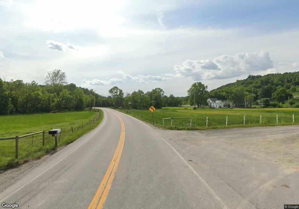
379 State Road 379 Barnesville, OH 43713
Estimated Value: $224,000 - $342,000
3
Beds
2
Baths
1,162
Sq Ft
$231/Sq Ft
Est. Value
About This Home
This home is located at 379 State Road 379, Barnesville, OH 43713 and is currently estimated at $268,333, approximately $230 per square foot. 379 State Road 379 is a home with nearby schools including Barnesville Elementary School, Barnesville Middle School, and Barnesville High School.
Ownership History
Date
Name
Owned For
Owner Type
Purchase Details
Closed on
Feb 6, 2019
Sold by
Butler Lisa A and Butler Marvin J
Bought by
Allison David F
Current Estimated Value
Home Financials for this Owner
Home Financials are based on the most recent Mortgage that was taken out on this home.
Original Mortgage
$75,000
Outstanding Balance
$66,005
Interest Rate
4.55%
Mortgage Type
Adjustable Rate Mortgage/ARM
Estimated Equity
$202,328
Purchase Details
Closed on
Jan 1, 1987
Sold by
Butler Marvin J and Butler Lisa A
Bought by
Butler Marvin J and Butler Lisa A
Create a Home Valuation Report for This Property
The Home Valuation Report is an in-depth analysis detailing your home's value as well as a comparison with similar homes in the area
Home Values in the Area
Average Home Value in this Area
Purchase History
| Date | Buyer | Sale Price | Title Company |
|---|---|---|---|
| Allison David F | $176,000 | Northwest Title Family Of Co | |
| Butler Marvin J | -- | -- |
Source: Public Records
Mortgage History
| Date | Status | Borrower | Loan Amount |
|---|---|---|---|
| Open | Allison David F | $75,000 |
Source: Public Records
Tax History Compared to Growth
Tax History
| Year | Tax Paid | Tax Assessment Tax Assessment Total Assessment is a certain percentage of the fair market value that is determined by local assessors to be the total taxable value of land and additions on the property. | Land | Improvement |
|---|---|---|---|---|
| 2024 | $1,986 | $60,320 | $5,270 | $55,050 |
| 2023 | $1,810 | $52,440 | $4,040 | $48,400 |
| 2022 | $1,810 | $52,444 | $4,042 | $48,402 |
| 2021 | $1,815 | $52,458 | $4,046 | $48,412 |
| 2020 | $1,641 | $45,620 | $3,520 | $42,100 |
| 2019 | $1,644 | $45,620 | $3,520 | $42,100 |
| 2018 | $1,590 | $45,620 | $3,520 | $42,100 |
| 2017 | $1,576 | $44,500 | $2,840 | $41,660 |
| 2016 | $1,538 | $44,500 | $2,840 | $41,660 |
| 2015 | $1,534 | $44,500 | $2,840 | $41,660 |
| 2014 | $1,284 | $36,730 | $2,580 | $34,150 |
| 2013 | $1,294 | $36,730 | $2,580 | $34,150 |
Source: Public Records
Map
Nearby Homes
- 29752 Miltonsburg-Calais Rd
- 0 Miltonsburg-Calais Rd
- 34937 Miltonsburg Calais Rd
- 53525 Somerton Hwy
- 57168 Batesville Rd
- 0 Winstead Rd
- 55385 Seneca Lake Rd
- 57128 Somerton Hwy
- 11 acres Whiskey Run
- 10 acres Whiskey Run
- 8 acres Whiskey Run Rd
- 0 Nevada Rd
- 25819 Grant Moore Rd
- 54846 Seneca Lake Rd
- 46218 Ohio 145
- 328 W Cross St
- 0 Ohio 78
- 242 Smith Ave
- 57459 Shry Rd
- 59674 Yoker Valley Rd
- 52999 St Rt 379
- 52999 Ohio 379
- 52977 State Route 379
- 53101 Temperanceville Hwy
- 52920 State Route 379
- 52903 State Route 379
- 52877 State Route 379
- 33006 Rock River Rd
- 53632 Temperanceville Hwy
- 53730 Temperanceville Hwy
- 32262 Harper Ridge Rd
- 32826 Harper Ridge Rd
- 52759 State Route 379
- 33055 Harper Ridge Rd
- 52691 State Route 379
- 52698 State Route 379
