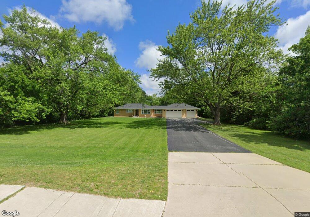
3790 W 61st Ave Hobart, IN 46342
Estimated Value: $252,000 - $304,000
3
Beds
1
Bath
1,381
Sq Ft
$198/Sq Ft
Est. Value
About This Home
This home is located at 3790 W 61st Ave, Hobart, IN 46342 and is currently estimated at $272,777, approximately $197 per square foot. 3790 W 61st Ave is a home located in Lake County with nearby schools including Hobart High School, Higher Institute of Arts and Technology, and Montessori Academy In The Oaks.
Ownership History
Date
Name
Owned For
Owner Type
Purchase Details
Closed on
Mar 8, 2021
Sold by
Bang Jan M and Bang Michelle S
Bought by
Banga Jan M and Banga Michelle S
Current Estimated Value
Purchase Details
Closed on
Jul 12, 2007
Sold by
Banga Jan and Cummins Banga Michelle
Bought by
Banga Jan M and Banga Michelle S
Home Financials for this Owner
Home Financials are based on the most recent Mortgage that was taken out on this home.
Original Mortgage
$120,000
Interest Rate
6.54%
Mortgage Type
New Conventional
Create a Home Valuation Report for This Property
The Home Valuation Report is an in-depth analysis detailing your home's value as well as a comparison with similar homes in the area
Home Values in the Area
Average Home Value in this Area
Purchase History
| Date | Buyer | Sale Price | Title Company |
|---|---|---|---|
| Banga Jan M | -- | None Available | |
| Banga Jan M | -- | Chicago Title Insurance Co |
Source: Public Records
Mortgage History
| Date | Status | Borrower | Loan Amount |
|---|---|---|---|
| Closed | Banga Jan M | $120,000 |
Source: Public Records
Tax History Compared to Growth
Tax History
| Year | Tax Paid | Tax Assessment Tax Assessment Total Assessment is a certain percentage of the fair market value that is determined by local assessors to be the total taxable value of land and additions on the property. | Land | Improvement |
|---|---|---|---|---|
| 2024 | $9,169 | $232,500 | $51,800 | $180,700 |
| 2023 | $2,682 | $224,600 | $51,800 | $172,800 |
| 2022 | $2,682 | $216,200 | $41,400 | $174,800 |
| 2021 | $2,326 | $186,500 | $41,000 | $145,500 |
| 2020 | $2,269 | $183,300 | $41,000 | $142,300 |
| 2019 | $2,391 | $176,300 | $41,000 | $135,300 |
| 2018 | $2,550 | $170,400 | $41,000 | $129,400 |
| 2017 | $2,477 | $163,700 | $41,000 | $122,700 |
| 2016 | $2,183 | $146,000 | $41,000 | $105,000 |
| 2014 | $1,987 | $142,400 | $40,900 | $101,500 |
| 2013 | $1,984 | $142,000 | $40,900 | $101,100 |
Source: Public Records
Map
Nearby Homes
- 6109 Wisconsin St
- 1614 Vine Ct
- 1681 Ruby Ct
- 1517 Alabama St
- 1424 Mississippi Place
- 5613 Indiana St
- 1755 Imperial St
- 1732 Stellar St
- 1716 Stellar St
- 2160 Hickory Dr
- 1785 Stellar St
- 6131 Glen Dr
- 1701 E 69th Ave
- 8 Deep River Dr
- 6089 Maryland St
- 359 E 59th Place
- 6050 Delaware Dr
- 6191 Delaware Approx St
- 1236 S Decatur St
- 338 E 60th Dr
- 1710 Minnesota St
- 3870 W 61st Ave
- 2630 E 61st Place
- 2628 E 61st Place
- 6104 Minnesota St
- 2626 E 61st Place
- 2522 E 61st Place
- 6103 Minnesota St
- 2518 E 61st Place
- 6105 Minnesota St
- 1706 Minnesota St
- 3614 W 61st Ave
- 2516 E 61st Place
- 6107 California St
- 2637 E 61st Place
- 6115 Minnesota St
- 1735 Minnesota St
- 2512 E 61st Place
- 2523 E 61st Place
- 1727 Minnesota St