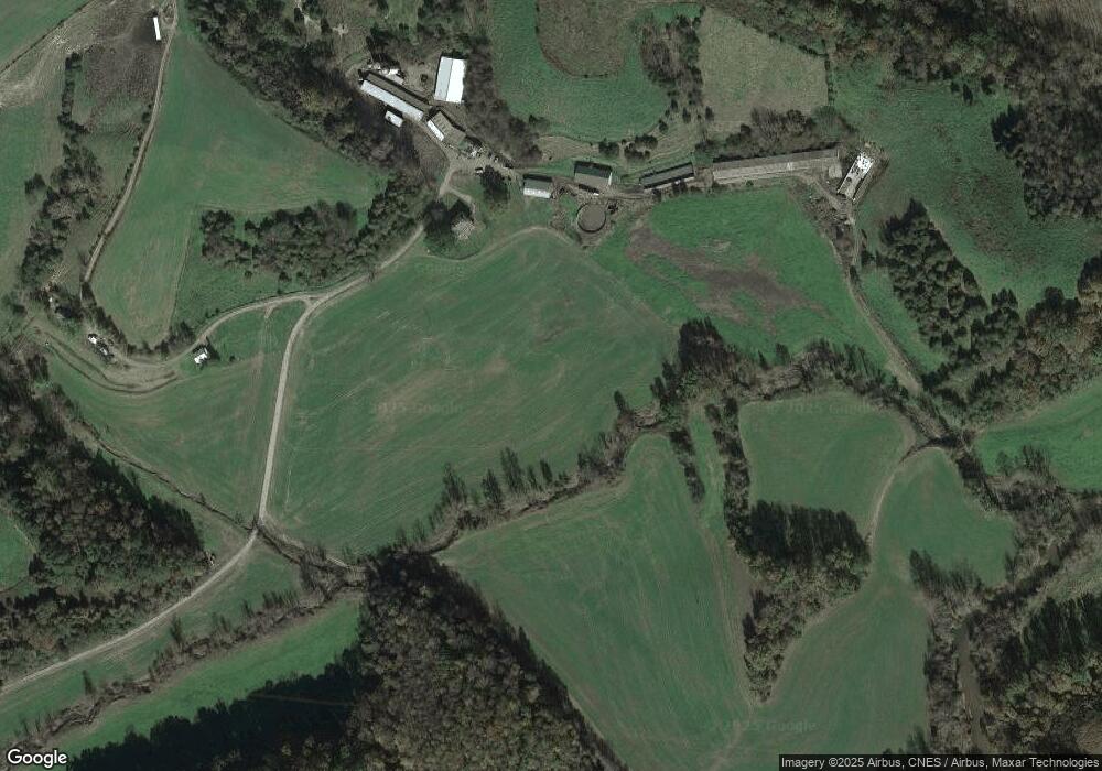
3793 Cow Path Ln Charlottesville, VA 22901
West Charlottesville NeighborhoodEstimated Value: $650,000 - $3,108,350
5
Beds
2
Baths
4,200
Sq Ft
$395/Sq Ft
Est. Value
About This Home
This home is located at 3793 Cow Path Ln, Charlottesville, VA 22901 and is currently estimated at $1,658,450, approximately $394 per square foot. 3793 Cow Path Ln is a home located in Albemarle County with nearby schools including Ivy Elementary School, Joseph T. Henley Middle School, and Western Albemarle High School.
Ownership History
Date
Name
Owned For
Owner Type
Purchase Details
Closed on
Dec 2, 2008
Sold by
Mcneely C Wilson and Mcneely Mary F
Bought by
Brooking Edward E
Current Estimated Value
Home Financials for this Owner
Home Financials are based on the most recent Mortgage that was taken out on this home.
Original Mortgage
$2,325,000
Outstanding Balance
$1,563,009
Interest Rate
6.49%
Mortgage Type
Credit Line Revolving
Estimated Equity
$95,441
Create a Home Valuation Report for This Property
The Home Valuation Report is an in-depth analysis detailing your home's value as well as a comparison with similar homes in the area
Home Values in the Area
Average Home Value in this Area
Purchase History
| Date | Buyer | Sale Price | Title Company |
|---|---|---|---|
| Brooking Edward E | -- | Chicago Title Ins Co |
Source: Public Records
Mortgage History
| Date | Status | Borrower | Loan Amount |
|---|---|---|---|
| Open | Brooking Edward E | $2,325,000 |
Source: Public Records
Tax History Compared to Growth
Tax History
| Year | Tax Paid | Tax Assessment Tax Assessment Total Assessment is a certain percentage of the fair market value that is determined by local assessors to be the total taxable value of land and additions on the property. | Land | Improvement |
|---|---|---|---|---|
| 2025 | $17,899 | $1,998,500 | $406,100 | $1,592,400 |
| 2024 | -- | $1,951,900 | $408,600 | $1,543,300 |
| 2023 | $16,461 | $1,927,500 | $395,500 | $1,532,000 |
| 2022 | $15,490 | $1,813,800 | $364,900 | $1,448,900 |
| 2021 | $14,243 | $1,667,800 | $323,600 | $1,344,200 |
| 2020 | $14,299 | $1,674,300 | $300,000 | $1,374,300 |
| 2019 | $9,775 | $1,144,600 | $280,200 | $864,400 |
| 2018 | $9,419 | $1,115,300 | $273,000 | $842,300 |
| 2017 | $9,482 | $1,130,100 | $253,300 | $876,800 |
| 2016 | $7,567 | $901,900 | $274,600 | $627,300 |
| 2015 | $7,605 | $928,600 | $310,100 | $618,500 |
| 2014 | -- | $927,100 | $307,900 | $619,200 |
Source: Public Records
Map
Nearby Homes
- TBD Lakeside Dr
- 3395 Brookside Dr
- 2700 Lake Albemarle Rd
- TBD Decca Ln
- 1462 Owensville Rd
- 57-22A Old Three Notch'D Rd
- 3228 Garth Rd
- 2 Morgantown Rd
- 1 Morgantown Rd
- 3 Morgantown Rd
- 3985 William Ct
- TBD Owensville Rd Unit 70A0
- TBD Owensville Rd
- 2530 Gillums Ridge Ln
- Lot 5 Gillums Ridge Rd
- 555 Gillums Ridge Rd
- 4885 Mechums River Rd
- 1950 Lakeside Dr
- 3612 Twin Creeks Rd
- 3634 Twin Creeks Rd
- 1036 Tilman Rd
- 4000 Cannon Brook Way
- 0 Lakeside Dr Unit VAAB2000938
- 0 Lakeside Dr Unit VAAB2000972
- 0 Lakeside Dr Unit 637239
- 0 Lakeside Dr Unit 625821
- 0 Lakeside Dr Unit 609874
- 0 Lakeside Dr
- 1667 Baileys Retreat
- 1040 Tilman Rd
- 1016 Tilman Rd
- 1956 Lakeside Dr
- 4009 Cannon Brook Way
- 1022 Tilman Rd
- 1960 Lakeside Dr
- 4004 Cannon Brook Way Unit Rolling Cedar Farm
- 4004 Cannon Brook Way
