3793 Hottis Rd Whittemore, MI 48770
Estimated Value: $136,406 - $261,000
3
Beds
2
Baths
1,708
Sq Ft
$117/Sq Ft
Est. Value
About This Home
This home is located at 3793 Hottis Rd, Whittemore, MI 48770 and is currently estimated at $200,135, approximately $117 per square foot. 3793 Hottis Rd is a home located in Iosco County with nearby schools including Whittemore-Prescott Elementary School and Whittemore-Prescott Junior/Senior High School.
Ownership History
Date
Name
Owned For
Owner Type
Purchase Details
Closed on
Nov 22, 2022
Sold by
Arndt Jane
Bought by
Arndt Jane and Morley Chad
Current Estimated Value
Purchase Details
Closed on
Jan 18, 2017
Sold by
Hensley Dana J
Bought by
Hensley Larry G and Hensley Dana J
Purchase Details
Closed on
Aug 18, 2010
Sold by
Secretary Of Housing And Urban Developme
Bought by
Hensley Dana
Purchase Details
Closed on
Feb 9, 2010
Sold by
Wells Fargo Bank Na
Bought by
Secretary Of Housing And Urban Developme
Purchase Details
Closed on
Dec 16, 2009
Sold by
Iosco County Sheriff Dept
Bought by
Wells Fargo Home Mortgage Inc
Create a Home Valuation Report for This Property
The Home Valuation Report is an in-depth analysis detailing your home's value as well as a comparison with similar homes in the area
Purchase History
| Date | Buyer | Sale Price | Title Company |
|---|---|---|---|
| Arndt Jane | -- | None Listed On Document | |
| Hensley Larry G | -- | None Available | |
| Hensley Dana | -- | -- | |
| Secretary Of Housing And Urban Developme | -- | -- | |
| Wells Fargo Home Mortgage Inc | $67,501 | -- |
Source: Public Records
Tax History
| Year | Tax Paid | Tax Assessment Tax Assessment Total Assessment is a certain percentage of the fair market value that is determined by local assessors to be the total taxable value of land and additions on the property. | Land | Improvement |
|---|---|---|---|---|
| 2025 | $324 | $52,900 | $0 | $52,900 |
| 2024 | $1,099 | $57,700 | $0 | $0 |
| 2023 | $263 | $48,250 | $0 | $48,250 |
| 2022 | $1,026 | $33,250 | $0 | $33,250 |
| 2021 | $979 | $31,500 | $0 | $31,500 |
| 2020 | $957 | $33,700 | $0 | $33,700 |
| 2019 | $940 | $27,900 | $0 | $27,900 |
| 2018 | $918 | $24,300 | $0 | $24,300 |
| 2017 | $876 | $22,200 | $0 | $22,200 |
| 2016 | $865 | $22,200 | $0 | $0 |
| 2015 | -- | $24,500 | $0 | $0 |
| 2014 | -- | $27,400 | $0 | $0 |
| 2013 | -- | $31,200 | $0 | $0 |
Source: Public Records
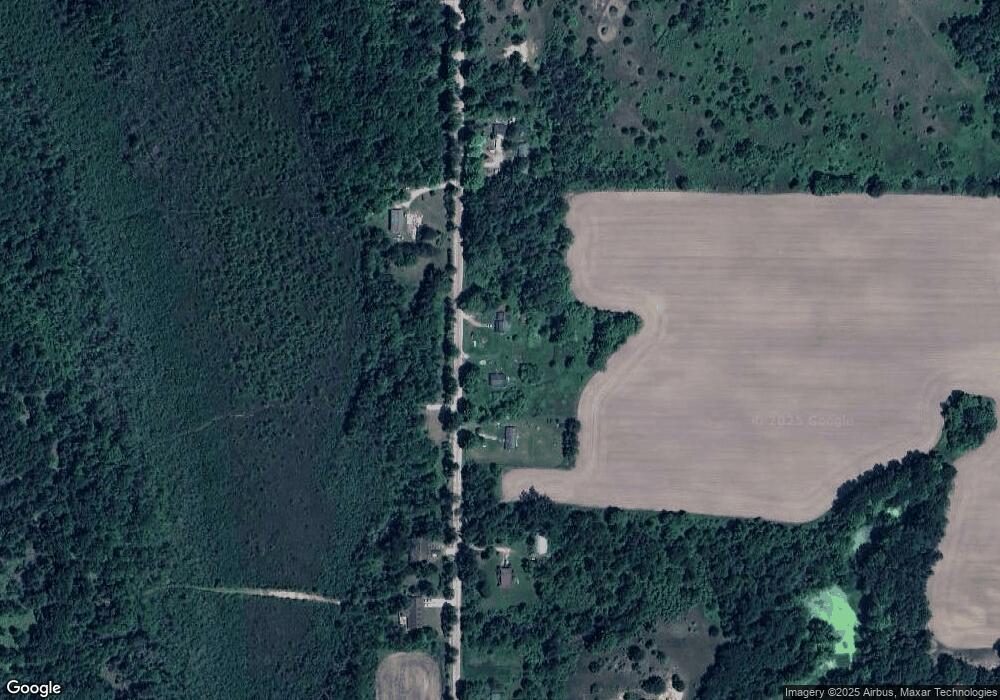
Map
Nearby Homes
- 562 W Lagrant Rd
- 77 W Mason Rd
- 00 Maple Ridge Rd
- N/A Lehman Rd
- 6824 Keystone Rd
- 111 South St
- 5229 Sage Lake Rd
- N/A Main St
- 0 E Greenwood Rd
- 5090 Brenda Dr
- 1724 Crawford Rd
- 220 E Harrison St
- 310 Harrison Rd
- 300 Harrison Rd
- 0 Harrison Rd
- 312 E Harrison St
- 3144 W Maple Ridge Rd
- 491 N Walker Rd
- 2788 Greenwood Rd
- 311 W State St
- 3725 Hottis Rd
- 3811 Hottis Rd
- 3865 Hottis Rd
- 3865 Hottis Rd
- 3876 Hottis Rd
- 3709 Hottis Rd
- 40 acres Hottis Rd
- 3756 Hottis Rd
- 3808 Hottis Rd
- 3669 Hottis Rd
- 3669 Hottis Rd
- 3641 Hottis Rd
- 3668 Hottis Rd
- 3668 Hottis Rd
- 3901 Hottis Rd
- 3901 Hottis Rd
- 3591 Hottis Rd
- 3631 Hottis Rd
- 8400 Dyer Rd
- 3635 Hottis Rd
Your Personal Tour Guide
Ask me questions while you tour the home.