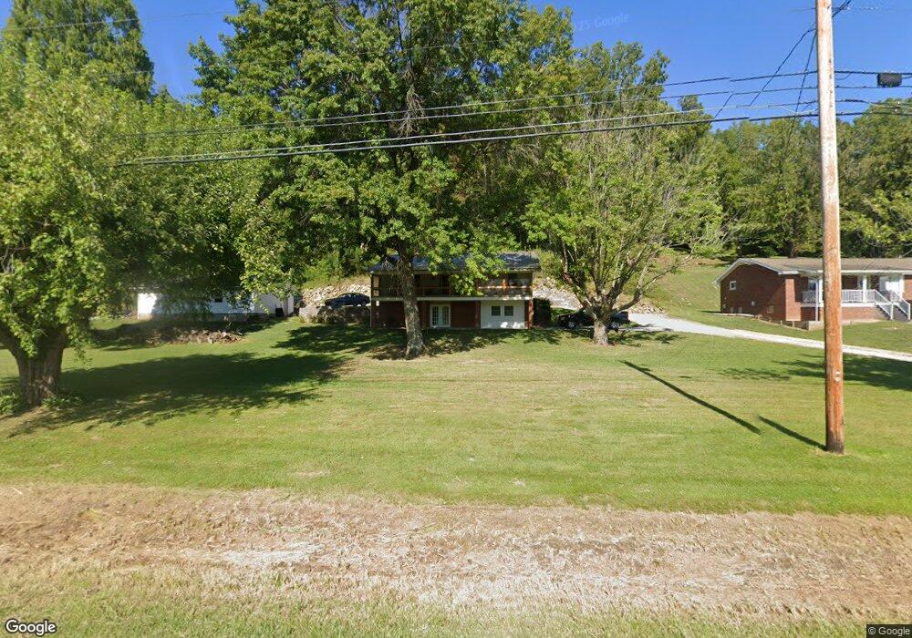
37947 State Route 7 Sardis, OH 43946
Estimated Value: $185,000 - $237,000
--
Bed
1
Bath
1,232
Sq Ft
$166/Sq Ft
Est. Value
About This Home
This home is located at 37947 State Route 7, Sardis, OH 43946 and is currently estimated at $204,313, approximately $165 per square foot. 37947 State Route 7 is a home located in Monroe County with nearby schools including River Elementary School and River High School.
Ownership History
Date
Name
Owned For
Owner Type
Purchase Details
Closed on
Aug 31, 2021
Sold by
Zills Pamela Sue and Zills Les
Bought by
Betts Daniel and Betts Sulinda
Current Estimated Value
Purchase Details
Closed on
Sep 18, 2000
Bought by
Wichterman Pamela Sue
Purchase Details
Closed on
Jun 25, 1996
Bought by
Wichterman Pamela Sue
Create a Home Valuation Report for This Property
The Home Valuation Report is an in-depth analysis detailing your home's value as well as a comparison with similar homes in the area
Home Values in the Area
Average Home Value in this Area
Purchase History
| Date | Buyer | Sale Price | Title Company |
|---|---|---|---|
| Betts Daniel | $135,000 | None Available | |
| Wichterman Pamela Sue | -- | -- | |
| Wichterman Pamela Sue | $90,000 | -- |
Source: Public Records
Tax History Compared to Growth
Tax History
| Year | Tax Paid | Tax Assessment Tax Assessment Total Assessment is a certain percentage of the fair market value that is determined by local assessors to be the total taxable value of land and additions on the property. | Land | Improvement |
|---|---|---|---|---|
| 2024 | $1,518 | $50,520 | $12,060 | $38,460 |
| 2023 | $1,518 | $50,520 | $12,060 | $38,460 |
| 2022 | $1,517 | $50,520 | $12,060 | $38,460 |
| 2021 | $1,460 | $48,060 | $10,010 | $38,050 |
| 2020 | $1,449 | $48,060 | $10,010 | $38,050 |
| 2019 | $1,441 | $48,180 | $10,130 | $38,050 |
| 2018 | $763 | $44,680 | $8,440 | $36,240 |
| 2017 | $1,396 | $44,680 | $8,440 | $36,240 |
| 2016 | $1,409 | $44,680 | $8,440 | $36,240 |
| 2015 | $1,253 | $37,770 | $6,870 | $30,900 |
| 2014 | $1,253 | $37,770 | $6,870 | $30,900 |
| 2013 | $1,306 | $36,620 | $6,670 | $29,950 |
Source: Public Records
Map
Nearby Homes
- 180 Pike St
- 46 W Rolling Acres Rd
- 210 Ack Ferry Adn
- 37311 Willow St
- 601 4th St
- 37370 5th Ave
- 337 Mceldowney Ave
- 653 6th St
- 270 Duerr St
- 735 5th St
- 405 Edgewood Terrace
- 803 5th St
- 807 5th St
- 37283 Border St
- 37020 Monroe St
- 290 Pleasants Valley Rd
- 914 Meadow Heights
- 0 Above Rt 2 at Forbes & Energy Hwy Unit 138670
- 731 N 4th Ave
- 713 N 8th Ave
- 37947 Sr 7
- 37957 State Route 7
- 37957 Ohio 7
- 37933 State Route 7
- 37991 State Route 7
- 37927 State Route 7
- 37905 State Route 7
- 37895 State Route 7
- 37867 State Route 7
- 38173 State Route 7
- 52735 Baptist Ridge
- 38283 Ohio 7
- 38283 State Route 7
- 38321 Ohio 7
- 38321 State Route 7
- 38244 State Route 7
- 38403 State Route 7
- 176 1/2 S Main St
- 170 S Main St
- 160 S Main St