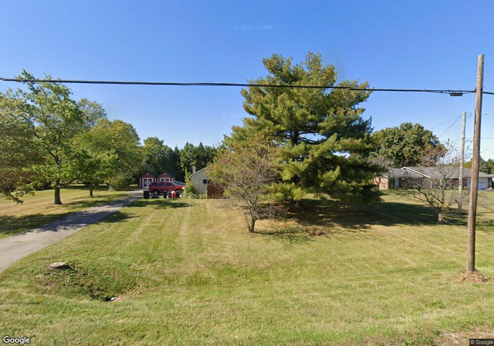
3795 Springfield Jamestown Rd Unit R Springfield, OH 45502
Estimated Value: $325,000 - $365,000
3
Beds
2
Baths
2,273
Sq Ft
$152/Sq Ft
Est. Value
About This Home
This home is located at 3795 Springfield Jamestown Rd Unit R, Springfield, OH 45502 and is currently estimated at $346,350, approximately $152 per square foot. 3795 Springfield Jamestown Rd Unit R is a home located in Clark County with nearby schools including Possum Elementary School, Shawnee Middle School/High School, and Risen Christ Lutheran School.
Ownership History
Date
Name
Owned For
Owner Type
Purchase Details
Closed on
Jul 9, 2024
Sold by
Double E Properties Llc
Bought by
Buck Cheryl and Buck James Dealton
Current Estimated Value
Home Financials for this Owner
Home Financials are based on the most recent Mortgage that was taken out on this home.
Original Mortgage
$13,800
Outstanding Balance
$6,399
Interest Rate
9.9%
Estimated Equity
$339,951
Purchase Details
Closed on
Feb 6, 2024
Sold by
Jackson Jerri and Jackson David S
Bought by
Double E Properties Llc
Home Financials for this Owner
Home Financials are based on the most recent Mortgage that was taken out on this home.
Original Mortgage
$206,500
Interest Rate
6.61%
Mortgage Type
New Conventional
Purchase Details
Closed on
Feb 6, 2013
Sold by
Fannie Mae
Bought by
Jackson Jerri
Purchase Details
Closed on
Feb 14, 2011
Sold by
Cerney Kathy S and Cerney Brian C
Bought by
Federal National Mortgage Association
Purchase Details
Closed on
Jan 20, 2010
Sold by
Cerney Kathy S and Cerney Brian C
Bought by
Cerney Kathy S and Cerney Brian C
Purchase Details
Closed on
Oct 22, 2003
Sold by
Mcadams Berl A
Bought by
Mcadams David A and Mcadams Kathy S
Home Financials for this Owner
Home Financials are based on the most recent Mortgage that was taken out on this home.
Original Mortgage
$149,000
Interest Rate
6.04%
Mortgage Type
Purchase Money Mortgage
Purchase Details
Closed on
Jul 3, 2002
Sold by
Ryan Paul B
Bought by
Mcadams David A and Mcadams Kathy S
Home Financials for this Owner
Home Financials are based on the most recent Mortgage that was taken out on this home.
Original Mortgage
$142,759
Interest Rate
6.91%
Mortgage Type
FHA
Purchase Details
Closed on
Jul 8, 1997
Sold by
Tanner Connie L
Bought by
Ryan Paul B
Create a Home Valuation Report for This Property
The Home Valuation Report is an in-depth analysis detailing your home's value as well as a comparison with similar homes in the area
Purchase History
| Date | Buyer | Sale Price | Title Company |
|---|---|---|---|
| Buck Cheryl | $280,000 | Sterling Land Title | |
| Buck Cheryl | $280,000 | Sterling Land Title | |
| Double E Properties Llc | $165,700 | Pctitle Pros | |
| Double E Properties Llc | $165,700 | Pctitle Pros | |
| Jackson Jerri | $75,000 | None Available | |
| Federal National Mortgage Association | -- | First Title & Escrow Inc | |
| Cerney Kathy S | -- | Attorney | |
| Mcadams David A | -- | -- | |
| Mcadams David A | $145,000 | -- | |
| Ryan Paul B | $102,000 | -- |
Source: Public Records
Mortgage History
| Date | Status | Borrower | Loan Amount |
|---|---|---|---|
| Open | Buck Cheryl | $13,800 | |
| Closed | Buck Cheryl | $13,800 | |
| Open | Buck Cheryl | $271,000 | |
| Closed | Buck Cheryl | $271,000 | |
| Previous Owner | Double E Properties Llc | $206,500 | |
| Previous Owner | Mcadams David A | $149,000 | |
| Previous Owner | Mcadams David A | $142,759 |
Source: Public Records
Tax History
| Year | Tax Paid | Tax Assessment Tax Assessment Total Assessment is a certain percentage of the fair market value that is determined by local assessors to be the total taxable value of land and additions on the property. | Land | Improvement |
|---|---|---|---|---|
| 2025 | $5,267 | $102,720 | $18,910 | $83,810 |
| 2024 | $4,366 | $75,510 | $16,340 | $59,170 |
| 2023 | $4,366 | $75,510 | $16,340 | $59,170 |
| 2022 | $6,598 | $75,510 | $16,340 | $59,170 |
| 2021 | $2,938 | $62,890 | $13,510 | $49,380 |
| 2020 | $2,961 | $62,890 | $13,510 | $49,380 |
| 2019 | $3,005 | $62,890 | $13,510 | $49,380 |
| 2018 | $2,449 | $52,320 | $14,050 | $38,270 |
| 2017 | $2,515 | $52,319 | $14,046 | $38,273 |
| 2016 | $2,283 | $52,319 | $14,046 | $38,273 |
| 2015 | $5,940 | $50,446 | $13,507 | $36,939 |
| 2014 | $2,723 | $50,446 | $13,507 | $36,939 |
| 2013 | $3,882 | $50,446 | $13,507 | $36,939 |
Source: Public Records
Map
Nearby Homes
- 2801 S Springfield Jamestown St
- 414 W Sparrow Rd
- 703 Dorchester Dr
- 505 Highview Ave
- 533 Highview Ave
- 402 Highview Ave
- 201 Kinnane Ave
- 711 Kinnane Ave
- 1448 W Sparrow Rd
- 2642 Springfield Xenia Rd
- 2252 Ontario Ave
- 2390 Old Selma Rd
- 204 Bassett Dr
- 2170 Fairfield Pike
- 6155 Springfield Jamestown Rd
- 1846 Ohio Ave
- 1823 Clay St
- 1820 Clay St
- 1421 Seminole Ave
- 2301 Duquesne Dr
- 3795 Springfield Jamestown Rd
- 3821 Springfield Jamestown Rd
- 3769 Springfield Jamestown Rd
- 3843 Springfield Jamestown Rd
- 3741 Springfield Jamestown Rd
- 3875 Springfield Jamestown Rd
- 3784 Ronda Ct
- 3715 Springfield Jamestown Rd
- 3766 Ronda Ct
- 3798 Ronda Ct
- 3740 Ronda Ct
- 95 Ra Mar Dr
- 3671 Springfield Jamestown Rd
- 3925 Springfield Jamestown Rd
- 3795 Ronda Ct
- 3783 Ronda Ct
- 3765 Ronda Ct
- 88 Ra Mar Dr
- 3643 Springfield Jamestown Rd
- 3741 Ronda Ct
Your Personal Tour Guide
Ask me questions while you tour the home.