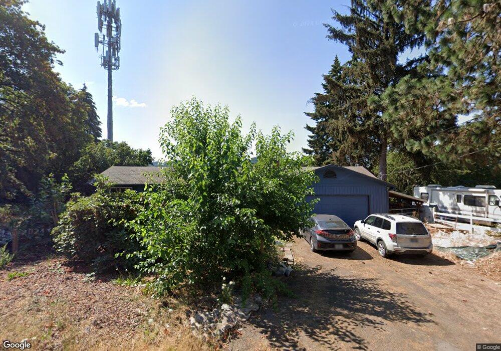
3796 Stewart Rd Eugene, OR 97402
West Eugene NeighborhoodEstimated Value: $399,000 - $526,000
3
Beds
2
Baths
1,600
Sq Ft
$285/Sq Ft
Est. Value
About This Home
This home is located at 3796 Stewart Rd, Eugene, OR 97402 and is currently estimated at $456,119, approximately $285 per square foot. 3796 Stewart Rd is a home located in Lane County with nearby schools including McCornack Elementary School, Kennedy Middle School, and Churchill High School.
Ownership History
Date
Name
Owned For
Owner Type
Purchase Details
Closed on
Dec 14, 2009
Sold by
Buehler John David and Buehler Cheri Lyn
Bought by
Nanci John C
Current Estimated Value
Purchase Details
Closed on
Dec 27, 2004
Sold by
Davis John H and Davis John Herbert
Bought by
Buehler John David and Buehler Cheri Lyn
Home Financials for this Owner
Home Financials are based on the most recent Mortgage that was taken out on this home.
Original Mortgage
$152,000
Interest Rate
5.62%
Mortgage Type
Purchase Money Mortgage
Create a Home Valuation Report for This Property
The Home Valuation Report is an in-depth analysis detailing your home's value as well as a comparison with similar homes in the area
Home Values in the Area
Average Home Value in this Area
Purchase History
| Date | Buyer | Sale Price | Title Company |
|---|---|---|---|
| Nanci John C | $235,000 | Western Title | |
| Buehler John David | $190,000 | Western Pioneer Title |
Source: Public Records
Mortgage History
| Date | Status | Borrower | Loan Amount |
|---|---|---|---|
| Previous Owner | Buehler John David | $152,000 |
Source: Public Records
Tax History
| Year | Tax Paid | Tax Assessment Tax Assessment Total Assessment is a certain percentage of the fair market value that is determined by local assessors to be the total taxable value of land and additions on the property. | Land | Improvement |
|---|---|---|---|---|
| 2025 | $4,487 | $230,294 | -- | -- |
| 2024 | $4,431 | $223,587 | -- | -- |
| 2023 | $4,431 | $217,075 | $0 | $0 |
| 2022 | $4,151 | $210,753 | $0 | $0 |
| 2021 | $3,899 | $204,615 | $0 | $0 |
| 2020 | $3,913 | $198,656 | $0 | $0 |
| 2019 | $3,779 | $192,870 | $0 | $0 |
| 2018 | $3,557 | $181,799 | $0 | $0 |
| 2017 | $3,398 | $181,799 | $0 | $0 |
| 2016 | $3,248 | $176,504 | $0 | $0 |
| 2015 | $3,159 | $171,363 | $0 | $0 |
| 2014 | $3,111 | $166,372 | $0 | $0 |
Source: Public Records
Map
Nearby Homes
- 0 Wallis St Unit 19292181
- 1326 Quaker St
- 3705 Peppertree Dr
- 1438 Quaker St
- 1415 S Bertelsen Rd Unit 96
- 1415 S Bertelsen Rd Unit 152
- 1415 S Bertelsen Rd Unit 34
- 1415 S Bertelsen Rd Unit 143
- 3826 Peppertree Dr
- 1365 Quaker St
- 3924 Josh St
- 1925 Harvard Dr
- 1625 S Bertelsen Rd
- 3534 Westleigh St
- 2953 W 15th Ave
- 279 Lacasa St
- 1432 Fetters Loop
- 201 Lacasa St
- 3939 Cross St
- 280 Baxter St
- 3796 1/2 Stewart Rd
- 3798 Stewart Rd
- 991 Obie St
- 3764 Stewart Rd
- 3800 Stewart Rd
- 3820 Stewart Rd
- 3750 Stewart Rd
- 1015 Obie St
- 3830 Stewart Rd
- 3840 Stewart Rd
- 3851 Stewart Rd
- 3720 Stewart Rd
- 3802 W 11th Ave
- 3710 Stewart Rd
- 950 Bailey Hill Rd
- 3766 W 11th Ave
- 3865 W 11th Ave
- 3770 W 11th Ave
- 760 Bailey Hill Rd
- 3780 W 11th Ave
Your Personal Tour Guide
Ask me questions while you tour the home.