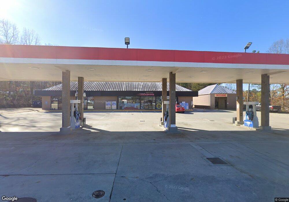
3798 Buford Dr Buford, GA 30519
Estimated Value: $2,178,697
Studio
1
Bath
97,574
Sq Ft
$22/Sq Ft
Est. Value
About This Home
This home is located at 3798 Buford Dr, Buford, GA 30519 and is currently estimated at $2,178,697, approximately $22 per square foot. 3798 Buford Dr is a home located in Gwinnett County with nearby schools including Buford Elementary School, Buford Senior Academy, and Buford Academy.
Ownership History
Date
Name
Owned For
Owner Type
Purchase Details
Closed on
Dec 1, 2021
Sold by
Buford Express Enterprises Llc
Bought by
Sean Buford Investments Llc
Current Estimated Value
Home Financials for this Owner
Home Financials are based on the most recent Mortgage that was taken out on this home.
Original Mortgage
$1,395,000
Outstanding Balance
$1,170,239
Interest Rate
3.09%
Mortgage Type
New Conventional
Estimated Equity
$1,008,458
Purchase Details
Closed on
Sep 12, 2002
Sold by
Graham Stephen and Graham Robert M
Bought by
S & M Food & Gas Inc
Home Financials for this Owner
Home Financials are based on the most recent Mortgage that was taken out on this home.
Original Mortgage
$148,265
Interest Rate
6.19%
Mortgage Type
Commercial
Create a Home Valuation Report for This Property
The Home Valuation Report is an in-depth analysis detailing your home's value as well as a comparison with similar homes in the area
Home Values in the Area
Average Home Value in this Area
Purchase History
| Date | Buyer | Sale Price | Title Company |
|---|---|---|---|
| Sean Buford Investments Llc | $1,860,000 | -- | |
| S & M Food & Gas Inc | -- | -- |
Source: Public Records
Mortgage History
| Date | Status | Borrower | Loan Amount |
|---|---|---|---|
| Open | Sean Buford Investments Llc | $1,395,000 | |
| Previous Owner | S & M Food & Gas Inc | $148,265 |
Source: Public Records
Tax History
| Year | Tax Paid | Tax Assessment Tax Assessment Total Assessment is a certain percentage of the fair market value that is determined by local assessors to be the total taxable value of land and additions on the property. | Land | Improvement |
|---|---|---|---|---|
| 2025 | $11,423 | $796,000 | $515,200 | $280,800 |
| 2024 | $10,671 | $1,247,040 | $515,200 | $731,840 |
| 2023 | $10,671 | $743,600 | $260,400 | $483,200 |
| 2022 | $10,676 | $758,000 | $442,880 | $315,120 |
| 2021 | $8,097 | $564,240 | $292,720 | $271,520 |
| 2020 | $8,097 | $564,240 | $292,720 | $271,520 |
| 2019 | $7,312 | $564,240 | $292,720 | $271,520 |
| 2018 | $7,312 | $564,240 | $292,720 | $271,520 |
| 2016 | $3,324 | $259,400 | $130,000 | $129,400 |
| 2015 | $3,442 | $259,400 | $130,000 | $129,400 |
| 2014 | $2,698 | $200,000 | $160,000 | $40,000 |
Source: Public Records
Map
Nearby Homes
- 1781 Plunketts Rd
- 3645 Knoll Crest Trail
- 3735 Fir Dr
- 2140 Harvest Ridge Cir
- 3843 Morning Meadow Ln
- 2151 E Maddox Rd
- 1970 Sturbridge Ln Unit 1
- 2262 Silver Fox Ln
- 101 Maddox Rd
- 0 French Blvd
- 1785 Plunketts Rd
- 3534 Fallen Oak Ln
- 3400 Coles Creek Dr
- 2249 White Alder Dr
- 2689 Woodward Down Trail NE
- 3503 Fallen Oak Dr
- 2380 Black Bear Ct
- 1669 Centerville Dr
- 2939 Woodward Down Trail
- 2190 Copper Trail Ln
- 1930 Buford Mill Dr
- 0 Buford Mill Dr Unit 7320377
- 0 Buford Mill Dr
- 1798 Plunketts Rd
- 3980 Buford Dr
- 3707 Blue Ridge Dr
- 3795 Buford Dr
- 2014 Summit Ct
- 2019 Summit Ct
- 4050 Buford Dr
- 1738 Plunketts Rd
- 4060 Buford Dr
- 3708 Ridge Dr
- 33 Rock Creek Rd
- 2018 Summit Ct
- 3718 Ridge Dr
- 3702 Ridge Dr
- 2009 Rock Creek Rd
- 1741 Plunkett Rd
- 3728 Ridge Dr
Your Personal Tour Guide
Ask me questions while you tour the home.