3798 Lummi Park Rd Lummi Island, WA 98262
Estimated Value: $1,109,948 - $1,336,000
4
Beds
2
Baths
2,556
Sq Ft
$478/Sq Ft
Est. Value
About This Home
This home is located at 3798 Lummi Park Rd, Lummi Island, WA 98262 and is currently estimated at $1,220,987, approximately $477 per square foot. 3798 Lummi Park Rd is a home located in Whatcom County with nearby schools including Beach Elementary School, Vista Middle School, and Ferndale High School.
Ownership History
Date
Name
Owned For
Owner Type
Purchase Details
Closed on
Oct 4, 2005
Sold by
Johnson John R and Downen Janet
Bought by
Hinkle Wayne F and Dieveney Hinkle Jane S
Current Estimated Value
Purchase Details
Closed on
Jun 28, 2005
Sold by
Johnson John R and Downen Janet
Bought by
Hakeman Aaron D and Hakeman Susan M
Home Financials for this Owner
Home Financials are based on the most recent Mortgage that was taken out on this home.
Original Mortgage
$500,000
Interest Rate
5.65%
Mortgage Type
Purchase Money Mortgage
Create a Home Valuation Report for This Property
The Home Valuation Report is an in-depth analysis detailing your home's value as well as a comparison with similar homes in the area
Home Values in the Area
Average Home Value in this Area
Purchase History
| Date | Buyer | Sale Price | Title Company |
|---|---|---|---|
| Hinkle Wayne F | -- | Whatcom Land Title Co Inc | |
| Hakeman Aaron D | $625,280 | Whatcom Land Title |
Source: Public Records
Mortgage History
| Date | Status | Borrower | Loan Amount |
|---|---|---|---|
| Previous Owner | Hakeman Aaron D | $500,000 |
Source: Public Records
Tax History Compared to Growth
Tax History
| Year | Tax Paid | Tax Assessment Tax Assessment Total Assessment is a certain percentage of the fair market value that is determined by local assessors to be the total taxable value of land and additions on the property. | Land | Improvement |
|---|---|---|---|---|
| 2024 | $9,678 | $1,212,944 | $789,768 | $423,176 |
| 2023 | $9,678 | $1,285,641 | $837,102 | $448,539 |
| 2022 | $8,532 | $1,075,872 | $700,518 | $375,354 |
| 2021 | $7,332 | $867,651 | $564,942 | $302,709 |
| 2020 | $7,320 | $711,163 | $463,050 | $248,113 |
| 2019 | $7,211 | $645,046 | $420,000 | $225,046 |
| 2018 | $7,904 | $734,313 | $487,095 | $247,218 |
| 2017 | $7,397 | $616,436 | $408,900 | $207,536 |
| 2016 | $7,324 | $606,548 | $401,940 | $204,608 |
| 2015 | $6,782 | $593,560 | $394,980 | $198,580 |
| 2014 | -- | $543,277 | $361,920 | $181,357 |
| 2013 | -- | $520,229 | $348,000 | $172,229 |
Source: Public Records
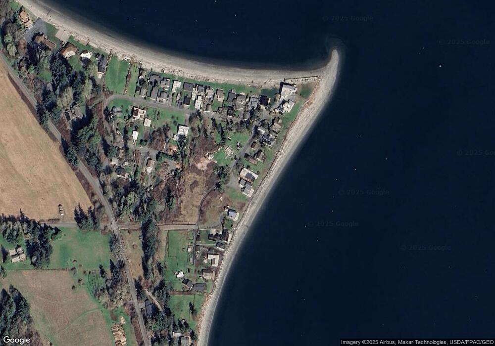
Map
Nearby Homes
- 2589 Lummi View Dr
- 3456 Emma Rd
- 2625 Lummi View Dr
- 4065 Sunny Hill Ln
- 2560 Lummi View Dr
- 2579 Finkbonner Rd
- 3440 Emma Rd
- 2552 Lummi View Dr
- 2093 Granger Way
- 2533 Island View Ln
- 2879 N Nugent Rd Unit H8
- 3965 Legoe Bay Rd
- 2877 N Nugent Rd Unit M4
- 2591 Taft Dr
- 2579 W Shore Dr
- 2383 W Shore Dr
- 2395 W Shore Dr
- 0 Taft Dr
- 16 xx S Nugent Rd
- 3003 Haxton Way
- 3794 Lummi Park Dr
- 3806 Lummi Park Dr
- 3806 Lummi Park Dr
- 3800 Blizard Rd
- 3810 Lummi Park Rd
- 3812 Lummi Park Rd
- 3816 Lummi Park Rd
- 3776 Blizard Rd
- 3830 Lane Spit Dr
- 3836 Lane Spit Dr
- 3826 Lane Spit Dr
- 3838 Lane Spit Dr
- 3820 Baker Dr
- 3772 Blizard Rd
- 3840 Lane Spit Dr
- 3766 Blizard Rd
- 3766 Blizard Rd
- 3844 Lane Spit Dr
- 3873 Dorothy Way
- 3848 Lane Spit Dr