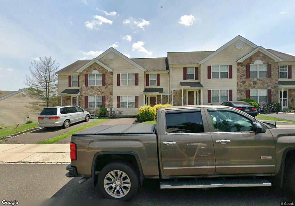
3799 Swetland Dr Doylestown, PA 18902
Plumstead NeighborhoodEstimated Value: $383,000 - $447,000
3
Beds
3
Baths
1,684
Sq Ft
$251/Sq Ft
Est. Value
About This Home
This home is located at 3799 Swetland Dr, Doylestown, PA 18902 and is currently estimated at $422,411, approximately $250 per square foot. 3799 Swetland Dr is a home located in Bucks County with nearby schools including Groveland Elementary School, Tohickon Middle School, and Central Bucks High School-West.
Ownership History
Date
Name
Owned For
Owner Type
Purchase Details
Closed on
Jun 23, 1998
Sold by
Patriots Ridge Corp
Bought by
Cannon Steven and Cannon Susan L
Current Estimated Value
Home Financials for this Owner
Home Financials are based on the most recent Mortgage that was taken out on this home.
Original Mortgage
$127,800
Outstanding Balance
$25,545
Interest Rate
7.04%
Estimated Equity
$396,866
Create a Home Valuation Report for This Property
The Home Valuation Report is an in-depth analysis detailing your home's value as well as a comparison with similar homes in the area
Home Values in the Area
Average Home Value in this Area
Purchase History
| Date | Buyer | Sale Price | Title Company |
|---|---|---|---|
| Cannon Steven | $134,620 | -- |
Source: Public Records
Mortgage History
| Date | Status | Borrower | Loan Amount |
|---|---|---|---|
| Open | Cannon Steven | $127,800 | |
| Closed | Cannon Steven | $9,329 |
Source: Public Records
Tax History Compared to Growth
Tax History
| Year | Tax Paid | Tax Assessment Tax Assessment Total Assessment is a certain percentage of the fair market value that is determined by local assessors to be the total taxable value of land and additions on the property. | Land | Improvement |
|---|---|---|---|---|
| 2025 | $4,594 | $26,440 | $2,360 | $24,080 |
| 2024 | $4,594 | $26,440 | $2,360 | $24,080 |
| 2023 | $4,448 | $26,440 | $2,360 | $24,080 |
| 2022 | $4,398 | $26,440 | $2,360 | $24,080 |
| 2021 | $4,349 | $26,440 | $2,360 | $24,080 |
| 2020 | $4,349 | $26,440 | $2,360 | $24,080 |
| 2019 | $4,323 | $26,440 | $2,360 | $24,080 |
| 2018 | $4,323 | $26,440 | $2,360 | $24,080 |
| 2017 | $4,263 | $26,440 | $2,360 | $24,080 |
| 2016 | $4,263 | $26,440 | $2,360 | $24,080 |
| 2015 | -- | $26,440 | $2,360 | $24,080 |
| 2014 | -- | $26,440 | $2,360 | $24,080 |
Source: Public Records
Map
Nearby Homes
- 5437 Rinker Cir Unit 283
- 4748 Bishop Cir
- 3765 William Daves Rd
- 3723 William Daves Rd
- 3838 Jacob Stout Rd
- 3711 Jacob Stout Rd Unit 5
- 114 Blackfriars Cir
- 100 Bishops Gate Ln Unit 67
- 3923 Ferry Rd
- 194 Victoria Ct Unit 143
- 301 Windy Run Rd
- 4263 Kleinot Dr
- 4317 Kleinot Dr
- 4464 Kleinot Dr
- 4330 Kleinot Dr
- 4246 Kleinot Dr
- 4306 Kleinot Dr
- 4298 Kleinot Dr
- 90 Chapman Ave
- 3867 Charter Club Dr
- 3797 Swetland Dr
- 3801 Swetland Dr
- 3795 Swetland Dr
- 5493 Rinker Cir Unit 311
- 5491 Rinker Cir
- 5491 Rinker Cir Unit 310
- 3809 Swetland Dr
- 5489 Rinker Cir Unit 309
- 3783 Swetland Dr
- 5487 Rinker Cir Unit 308
- 5485 Rinker Cir Unit 307
- 3811 Swetland Dr
- 3796 Swetland Dr
- 3800 Swetland Dr
- 3781 Swetland Dr Unit VII
- 3802 Swetland Dr
- 3804 Swetland Dr
- 5483 Rinker Cir Unit 306
- 3794 Swetland Dr
- 3806 Swetland Dr