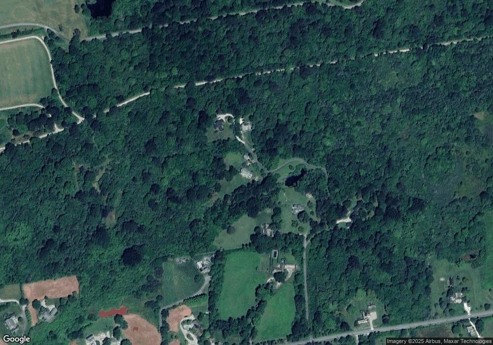
37D Taylors Ln Little Compton, RI 02837
Estimated Value: $1,538,385 - $5,104,000
3
Beds
3
Baths
2,697
Sq Ft
$1,017/Sq Ft
Est. Value
About This Home
This home is located at 37D Taylors Ln, Little Compton, RI 02837 and is currently estimated at $2,743,346, approximately $1,017 per square foot. 37D Taylors Ln is a home located in Newport County with nearby schools including Wilbur & McMahon School.
Ownership History
Date
Name
Owned For
Owner Type
Purchase Details
Closed on
Nov 21, 2022
Sold by
Myers Heather H and Havens Matthew P
Bought by
Havens Stacy S and Havens Matthew P
Current Estimated Value
Purchase Details
Closed on
Dec 30, 2016
Sold by
Havens Philip V and Havens Lee C
Bought by
Havens Residence 2016
Purchase Details
Closed on
Dec 21, 2015
Sold by
Myers Heather L and Myers David H
Bought by
Havens Philip V and Havens Lee S
Purchase Details
Closed on
Nov 5, 2015
Sold by
Havens Philip V and Havens Lee C
Bought by
Myers Heather L and Myers David H
Create a Home Valuation Report for This Property
The Home Valuation Report is an in-depth analysis detailing your home's value as well as a comparison with similar homes in the area
Home Values in the Area
Average Home Value in this Area
Purchase History
| Date | Buyer | Sale Price | Title Company |
|---|---|---|---|
| Havens Stacy S | -- | None Available | |
| Myers Heather H | -- | None Available | |
| Havens Residence 2016 | -- | -- | |
| Havens Philip V | -- | -- | |
| Myers Heather L | -- | -- |
Source: Public Records
Tax History Compared to Growth
Tax History
| Year | Tax Paid | Tax Assessment Tax Assessment Total Assessment is a certain percentage of the fair market value that is determined by local assessors to be the total taxable value of land and additions on the property. | Land | Improvement |
|---|---|---|---|---|
| 2025 | $6,509 | $1,358,900 | $853,300 | $505,600 |
| 2024 | $6,435 | $1,266,700 | $752,700 | $514,000 |
| 2023 | $6,191 | $1,248,200 | $752,700 | $495,500 |
| 2022 | $6,116 | $1,248,200 | $752,700 | $495,500 |
| 2021 | $5,849 | $968,400 | $619,600 | $348,800 |
| 2020 | $5,801 | $968,400 | $619,600 | $348,800 |
| 2019 | $5,743 | $968,400 | $619,600 | $348,800 |
| 2018 | $5,749 | $964,600 | $619,600 | $345,000 |
| 2016 | $5,469 | $964,600 | $619,600 | $345,000 |
| 2015 | $5,634 | $979,800 | $615,500 | $364,300 |
| 2014 | $5,526 | $979,800 | $615,500 | $364,300 |
Source: Public Records
Map
Nearby Homes