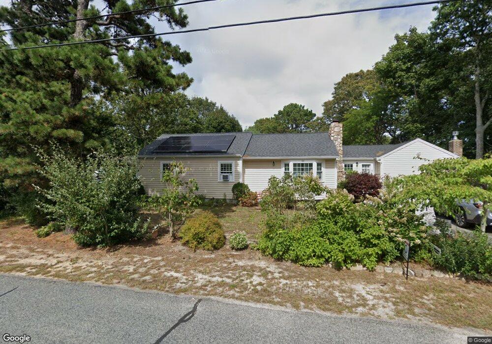
38 Agnes Rd South Dennis, MA 02660
South Dennis NeighborhoodEstimated Value: $554,000 - $630,000
3
Beds
1
Bath
1,475
Sq Ft
$409/Sq Ft
Est. Value
About This Home
This home is located at 38 Agnes Rd, South Dennis, MA 02660 and is currently estimated at $602,679, approximately $408 per square foot. 38 Agnes Rd is a home located in Barnstable County with nearby schools including Dennis-Yarmouth Regional High School and St. Pius X. School.
Ownership History
Date
Name
Owned For
Owner Type
Purchase Details
Closed on
Oct 25, 2019
Sold by
Carey Dennis M and Carey Lee F
Bought by
Carey Ft
Current Estimated Value
Purchase Details
Closed on
Nov 20, 2009
Sold by
Bank Of America Na
Bought by
Carey Dennis M and Carey Lee F
Home Financials for this Owner
Home Financials are based on the most recent Mortgage that was taken out on this home.
Original Mortgage
$172,000
Interest Rate
4.86%
Mortgage Type
Purchase Money Mortgage
Purchase Details
Closed on
Sep 24, 2009
Sold by
Wood Albert W
Bought by
Bank Of America Na
Home Financials for this Owner
Home Financials are based on the most recent Mortgage that was taken out on this home.
Original Mortgage
$172,000
Interest Rate
4.86%
Mortgage Type
Purchase Money Mortgage
Purchase Details
Closed on
Nov 7, 2005
Sold by
Garvulenski Edward J and Garvulinski Edward J
Bought by
Wood Albert W
Home Financials for this Owner
Home Financials are based on the most recent Mortgage that was taken out on this home.
Original Mortgage
$244,000
Interest Rate
5.85%
Mortgage Type
Purchase Money Mortgage
Create a Home Valuation Report for This Property
The Home Valuation Report is an in-depth analysis detailing your home's value as well as a comparison with similar homes in the area
Home Values in the Area
Average Home Value in this Area
Purchase History
| Date | Buyer | Sale Price | Title Company |
|---|---|---|---|
| Carey Ft | -- | -- | |
| Carey Dennis M | $215,000 | -- | |
| Bank Of America Na | $201,450 | -- | |
| Wood Albert W | $305,000 | -- |
Source: Public Records
Mortgage History
| Date | Status | Borrower | Loan Amount |
|---|---|---|---|
| Previous Owner | Carey Dennis M | $172,000 | |
| Previous Owner | Wood Albert W | $244,000 | |
| Previous Owner | Wood Albert W | $61,000 |
Source: Public Records
Tax History Compared to Growth
Tax History
| Year | Tax Paid | Tax Assessment Tax Assessment Total Assessment is a certain percentage of the fair market value that is determined by local assessors to be the total taxable value of land and additions on the property. | Land | Improvement |
|---|---|---|---|---|
| 2025 | $2,388 | $551,600 | $131,100 | $420,500 |
| 2024 | $2,303 | $524,700 | $126,100 | $398,600 |
| 2023 | $2,229 | $477,200 | $114,600 | $362,600 |
| 2022 | $2,156 | $385,000 | $114,700 | $270,300 |
| 2021 | $2,047 | $339,400 | $112,500 | $226,900 |
| 2020 | $1,943 | $318,500 | $112,500 | $206,000 |
| 2019 | $1,879 | $304,600 | $121,300 | $183,300 |
| 2018 | $1,723 | $271,800 | $105,000 | $166,800 |
| 2017 | $1,639 | $266,500 | $105,000 | $161,500 |
| 2016 | $1,471 | $225,300 | $110,200 | $115,100 |
| 2015 | $1,442 | $225,300 | $110,200 | $115,100 |
| 2014 | $1,480 | $233,000 | $94,500 | $138,500 |
Source: Public Records
Map
Nearby Homes
- 153 Bayridge Dr
- 17 Margate Ln
- 15 Captain Jud Rd
- 4 Ebb Rd
- 10 Joanne Dr
- 17 Fairmount Rd
- 17 Fairmount Rd
- 13 Covey Dr
- 118 Driftwood Ln
- 25 Skerry Rd
- 7 Vinland Dr
- 129 Driftwood Ln
- 111 Merchant Ave
- 1 Norseman Dr
- 32 Captain Walsh Dr
- 62 Old Fish House Rd
- 6 Hawthorn St
- 6 Nimble Hill Dr
- 4 Old Colony Way
- 59 Main St Unit 19-2