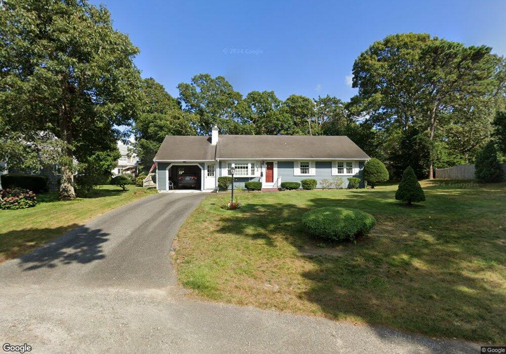
38 Arrowhead Dr West Dennis, MA 02670
West Dennis NeighborhoodEstimated Value: $640,000 - $703,000
3
Beds
2
Baths
1,092
Sq Ft
$602/Sq Ft
Est. Value
About This Home
This home is located at 38 Arrowhead Dr, West Dennis, MA 02670 and is currently estimated at $657,879, approximately $602 per square foot. 38 Arrowhead Dr is a home located in Barnstable County with nearby schools including Dennis-Yarmouth Regional High School and St. Pius X. School.
Ownership History
Date
Name
Owned For
Owner Type
Purchase Details
Closed on
Aug 1, 2024
Sold by
Nelson Dorothy A
Bought by
Nelson Rt and Nelson
Current Estimated Value
Purchase Details
Closed on
Apr 25, 1968
Bought by
Nelson Dorothy A
Create a Home Valuation Report for This Property
The Home Valuation Report is an in-depth analysis detailing your home's value as well as a comparison with similar homes in the area
Home Values in the Area
Average Home Value in this Area
Purchase History
| Date | Buyer | Sale Price | Title Company |
|---|---|---|---|
| Nelson Rt | -- | None Available | |
| Nelson Rt | -- | None Available | |
| Nelson Dorothy A | -- | -- |
Source: Public Records
Tax History Compared to Growth
Tax History
| Year | Tax Paid | Tax Assessment Tax Assessment Total Assessment is a certain percentage of the fair market value that is determined by local assessors to be the total taxable value of land and additions on the property. | Land | Improvement |
|---|---|---|---|---|
| 2025 | $2,637 | $609,000 | $227,800 | $381,200 |
| 2024 | $2,505 | $570,700 | $219,100 | $351,600 |
| 2023 | $2,423 | $518,800 | $199,200 | $319,600 |
| 2022 | $2,194 | $391,700 | $155,500 | $236,200 |
| 2021 | $4,043 | $347,500 | $152,400 | $195,100 |
| 2020 | $2,069 | $339,100 | $164,200 | $174,900 |
| 2019 | $2,036 | $330,000 | $172,500 | $157,500 |
| 2018 | $3,612 | $296,400 | $153,200 | $143,200 |
| 2017 | $1,795 | $291,800 | $153,200 | $138,600 |
| 2016 | $1,791 | $274,300 | $158,700 | $115,600 |
| 2015 | $1,756 | $274,300 | $158,700 | $115,600 |
| 2014 | $1,742 | $274,300 | $158,700 | $115,600 |
Source: Public Records
Map
Nearby Homes
- 61 Trotters Ln
- 15 Woodside Park Rd
- 80 Michaels Ave
- 27 Mayflower Ln
- 26 Center St
- 3 Pinefield Ln
- 71 Main St
- 467 Main St
- 428 Main St Unit 1-11
- 4 Coffey Ln
- 95 Center St
- 37 Ocean Dr Unit 2
- 401 Main St Unit 201
- 401 Main St Unit 101
- 10 Grindell Ave
- 31 Easy St
- 6 Baker Way
- 64 Beaten Rd
- 178 School St
- 23 Doric Ave
- 34 Arrowhead Dr
- 46 Salt Meadows Rd
- 42 Salt Meadow Rd
- 42 Salt Meadows Rd
- 27 Princeton Cir
- 50 Salt Meadows Rd
- 37 Arrowhead Dr
- 31 Princeton Cir
- 4 College Dr
- 28 Arrowhead Dr
- 53 Salt Meadows Rd
- 53 Salt Meadow Rd
- 33 Arrowhead Dr
- 43 Arrowhead Dr
- 41 Salt Meadows Rd
- 33 Princeton Cir
- 48 Arrowhead Dr
- 29 Arrowhead Dr
- 54 Salt Meadows Rd
- 54 Salt Meadow Rd