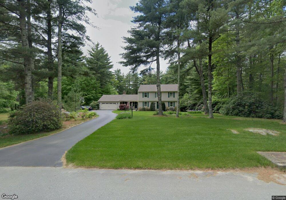
38 Ashland Rd North Scituate, RI 02857
Estimated Value: $685,385 - $766,000
3
Beds
3
Baths
2,846
Sq Ft
$252/Sq Ft
Est. Value
About This Home
This home is located at 38 Ashland Rd, North Scituate, RI 02857 and is currently estimated at $716,346, approximately $251 per square foot. 38 Ashland Rd is a home located in Providence County with nearby schools including North Scituate School, Scituate Middle School, and Scituate High School.
Ownership History
Date
Name
Owned For
Owner Type
Purchase Details
Closed on
Oct 8, 2024
Sold by
Costakos Dean N and Costakos Joyce C
Bought by
Costakos Ft and Costakos
Current Estimated Value
Purchase Details
Closed on
Dec 30, 1998
Sold by
Crowley Francis J and Crowley Patricia
Bought by
Costakos Dena N and Costakos Joyce
Purchase Details
Closed on
Dec 11, 1990
Sold by
Wright Myrtice A
Bought by
Crowley Francis J
Create a Home Valuation Report for This Property
The Home Valuation Report is an in-depth analysis detailing your home's value as well as a comparison with similar homes in the area
Home Values in the Area
Average Home Value in this Area
Purchase History
| Date | Buyer | Sale Price | Title Company |
|---|---|---|---|
| Costakos Ft | -- | None Available | |
| Costakos Ft | -- | None Available | |
| Costakos Dena N | $272,000 | -- | |
| Costakos Dena N | $272,000 | -- | |
| Crowley Francis J | $278,000 | -- |
Source: Public Records
Mortgage History
| Date | Status | Borrower | Loan Amount |
|---|---|---|---|
| Previous Owner | Crowley Francis J | $113,720 | |
| Previous Owner | Crowley Francis J | $50,000 | |
| Previous Owner | Crowley Francis J | $162,000 |
Source: Public Records
Tax History Compared to Growth
Tax History
| Year | Tax Paid | Tax Assessment Tax Assessment Total Assessment is a certain percentage of the fair market value that is determined by local assessors to be the total taxable value of land and additions on the property. | Land | Improvement |
|---|---|---|---|---|
| 2025 | $8,173 | $471,600 | $151,900 | $319,700 |
| 2024 | $8,173 | $471,600 | $151,900 | $319,700 |
| 2023 | $7,904 | $471,600 | $151,900 | $319,700 |
| 2022 | $7,725 | $471,600 | $151,900 | $319,700 |
| 2021 | $7,685 | $411,200 | $117,200 | $294,000 |
| 2020 | $7,513 | $411,200 | $117,200 | $294,000 |
| 2019 | $7,356 | $411,200 | $117,200 | $294,000 |
| 2018 | $7,419 | $382,600 | $131,500 | $251,100 |
| 2017 | $7,201 | $382,600 | $131,500 | $251,100 |
| 2016 | $6,902 | $382,600 | $131,500 | $251,100 |
| 2015 | $7,016 | $366,200 | $123,400 | $242,800 |
| 2014 | $6,950 | $366,200 | $123,400 | $242,800 |
Source: Public Records
Map
Nearby Homes
- 30 Ashland Rd
- 226 Westcott Rd
- 255 Rockland Rd
- 0 Dexter Rd
- 34 Highland Terrace
- 109 Gentry Way
- 58 Highland Terrace
- 737 Danielson Pike
- 20 Gleaner Chapel Rd
- 607 Elmdale Rd
- 785 Danielson Pike
- 196 William Henry Rd
- 220 Plainfield Pike
- 0 Byron Randall Rd
- 584 Hartford Pike
- 15 Davis Rd
- 0 Country View Ln
- 0 Quaker Ln
- 4 Byron Randall Rd
- 261 Quaker Ln