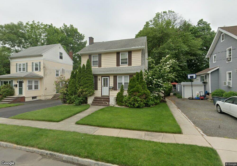
38 Battle Hill Ave Springfield, NJ 07081
Estimated Value: $545,000 - $588,000
--
Bed
--
Bath
1,368
Sq Ft
$410/Sq Ft
Est. Value
About This Home
This home is located at 38 Battle Hill Ave, Springfield, NJ 07081 and is currently estimated at $560,491, approximately $409 per square foot. 38 Battle Hill Ave is a home located in Union County with nearby schools including Jonathan Dayton High School and St James The Apostle School.
Ownership History
Date
Name
Owned For
Owner Type
Purchase Details
Closed on
Oct 28, 2002
Sold by
Mcloughlin John
Bought by
Mcloughlin Sean
Current Estimated Value
Home Financials for this Owner
Home Financials are based on the most recent Mortgage that was taken out on this home.
Original Mortgage
$144,000
Outstanding Balance
$60,404
Interest Rate
6.04%
Estimated Equity
$500,087
Create a Home Valuation Report for This Property
The Home Valuation Report is an in-depth analysis detailing your home's value as well as a comparison with similar homes in the area
Home Values in the Area
Average Home Value in this Area
Purchase History
| Date | Buyer | Sale Price | Title Company |
|---|---|---|---|
| Mcloughlin Sean | $180,000 | -- |
Source: Public Records
Mortgage History
| Date | Status | Borrower | Loan Amount |
|---|---|---|---|
| Open | Mcloughlin Sean | $144,000 |
Source: Public Records
Tax History Compared to Growth
Tax History
| Year | Tax Paid | Tax Assessment Tax Assessment Total Assessment is a certain percentage of the fair market value that is determined by local assessors to be the total taxable value of land and additions on the property. | Land | Improvement |
|---|---|---|---|---|
| 2025 | $10,481 | $441,300 | $189,600 | $251,700 |
| 2024 | $10,309 | $441,300 | $189,600 | $251,700 |
| 2023 | $10,309 | $441,300 | $189,600 | $251,700 |
| 2022 | $9,572 | $441,300 | $189,600 | $251,700 |
| 2021 | $9,083 | $122,000 | $54,700 | $67,300 |
| 2020 | $8,941 | $122,000 | $54,700 | $67,300 |
| 2019 | $8,821 | $122,000 | $54,700 | $67,300 |
| 2018 | $8,662 | $122,000 | $54,700 | $67,300 |
| 2017 | $8,424 | $122,000 | $54,700 | $67,300 |
| 2016 | $8,261 | $122,000 | $54,700 | $67,300 |
| 2015 | $8,164 | $122,000 | $54,700 | $67,300 |
| 2014 | $8,011 | $122,000 | $54,700 | $67,300 |
Source: Public Records
Map
Nearby Homes
- 67 Battle Hill Ave
- 6 Joanne Way
- 97 Battle Hill Ave
- 73 S Maple Ave
- 19 Warner Ave
- 20 Maple Ave
- 17 Alvin Terrace
- 798 Pinewood Rd
- 1066 Mayfair Rd
- 2785 Larchmont Rd
- 1042 Battle Hill Terrace
- 960 Moessner Ave
- 980 Moessner Ave
- 1071 Battle Hill Terrace
- 807 Andover Rd
- 15 Center St
- 2636 Frederick Terrace
- 2670 Bancroft Ave
- 24 Brook St
- 2641 Burns Place
- 42 Battle Hill Ave
- 34 Battle Hill Ave
- 32 Battle Hill Ave
- 46 Battle Hill Ave
- 50 Battle Hill Ave
- 26 Battle Hill Ave
- 43 Battle Hill Ave
- 54 Battle Hill Ave
- 47 Battle Hill Ave
- 41 Battle Hill Ave
- 24 Battle Hill Ave
- 35 Battle Hill Ave
- 51 Battle Hill Ave
- 33 Battle Hill Ave
- 45 Colonial Terrace
- 43 Colonial Terrace
- 53 Battle Hill Ave
- 47 Colonial Terrace
- 58 Battle Hill Ave
- 41 Colonial Terrace