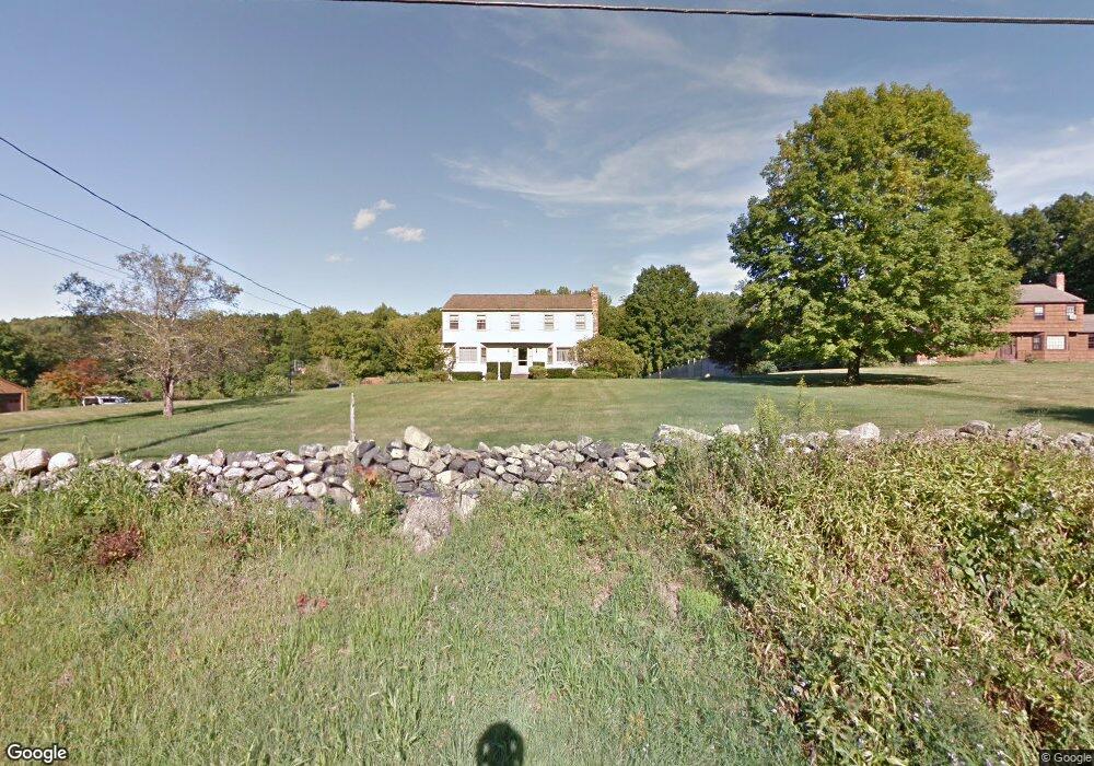
38 Bennetts Bridge Rd Sandy Hook, CT 06482
Estimated Value: $659,318 - $867,000
4
Beds
3
Baths
2,593
Sq Ft
$294/Sq Ft
Est. Value
About This Home
This home is located at 38 Bennetts Bridge Rd, Sandy Hook, CT 06482 and is currently estimated at $763,330, approximately $294 per square foot. 38 Bennetts Bridge Rd is a home located in Fairfield County with nearby schools including Sandy Hook Elementary School, Reed Intermediate School, and Newtown Middle School.
Ownership History
Date
Name
Owned For
Owner Type
Purchase Details
Closed on
Jun 14, 1993
Sold by
Rushing Raymond and Rushing Audrey
Bought by
Tobin Wendy and Merrick Brian
Current Estimated Value
Home Financials for this Owner
Home Financials are based on the most recent Mortgage that was taken out on this home.
Original Mortgage
$138,000
Interest Rate
7.41%
Mortgage Type
Unknown
Create a Home Valuation Report for This Property
The Home Valuation Report is an in-depth analysis detailing your home's value as well as a comparison with similar homes in the area
Home Values in the Area
Average Home Value in this Area
Purchase History
| Date | Buyer | Sale Price | Title Company |
|---|---|---|---|
| Tobin Wendy | $238,000 | -- | |
| Tobin Wendy | $238,000 | -- |
Source: Public Records
Mortgage History
| Date | Status | Borrower | Loan Amount |
|---|---|---|---|
| Closed | Tobin Wendy | $138,000 |
Source: Public Records
Tax History
| Year | Tax Paid | Tax Assessment Tax Assessment Total Assessment is a certain percentage of the fair market value that is determined by local assessors to be the total taxable value of land and additions on the property. | Land | Improvement |
|---|---|---|---|---|
| 2025 | $9,903 | $344,570 | $67,620 | $276,950 |
| 2024 | $9,293 | $344,570 | $67,620 | $276,950 |
| 2023 | $9,042 | $344,570 | $67,620 | $276,950 |
| 2022 | $9,068 | $261,540 | $72,650 | $188,890 |
| 2021 | $9,062 | $261,540 | $72,650 | $188,890 |
| 2020 | $9,091 | $261,540 | $72,650 | $188,890 |
| 2019 | $9,094 | $261,540 | $72,650 | $188,890 |
| 2018 | $8,955 | $261,540 | $72,650 | $188,890 |
| 2017 | $8,539 | $252,110 | $74,530 | $177,580 |
| 2016 | $8,471 | $252,110 | $74,530 | $177,580 |
| 2015 | $8,337 | $252,110 | $74,530 | $177,580 |
| 2014 | $8,398 | $252,110 | $74,530 | $177,580 |
Source: Public Records
Map
Nearby Homes
- 32 Yogananda St
- 40 Osborne Hill Rd
- 23 Fawnwood Rd
- 1 Owl Ridge Ln
- 3 Owl Ridge Ln
- 12 Skidmore Ln
- 22 Misty Vale Rd
- 30 Cedarhurst Trail
- 16A Pole Bridge Rd
- 53 A Toddy Hill Rd
- 238 Berkshire Rd
- 7 Longview Rd
- 89 Alpine Dr
- 93 Toddy Hill Rd
- 108 Riverside Rd
- 76 Lee Farm Dr
- 40 Great Ring Rd
- 66 Marlin Rd
- 8 Stone Bridge Trail
- 22 Hemlock Trail
- 36 Bennetts Bridge Rd
- 40 Bennetts Bridge Rd
- 30 Zoar Rd
- 42 Bennetts Bridge Rd
- 1 Founders Ln
- 3 Founders Ln
- 31 Bennetts Bridge Rd
- 27 Bennetts Bridge Rd
- 33 Zoar Rd
- 2 Gelding Hill Rd
- 2 Founders Ln
- 5 Founders Ln
- 33 Bennetts Bridge Rd
- 25A Bennetts Bridge Rd
- 39 Yogananda St
- 35 Bennetts Bridge Rd
- 44 Bennetts Bridge Rd
- 6 Founders Ln
- 7 Founders Ln
- 33 Yogananda St
Your Personal Tour Guide
Ask me questions while you tour the home.