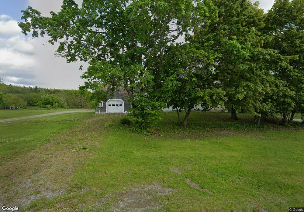
38 Blake Rd Orrington, ME 04474
Orrington AreaEstimated Value: $369,355 - $459,000
About This Home
This home is located at 38 Blake Rd, Orrington, ME 04474 and is currently estimated at $398,589. 38 Blake Rd is a home located in Penobscot County with nearby schools including Center Drive School.
Ownership History
We collect this data history from publicly available records. To have your information removed, we recommend requesting removal directly through your county’s website.
Purchase Details
Home Financials for this Owner
Home Financials are based on the most recent Mortgage that was taken out on this home.Home Values in the Area
Average Home Value in this Area
Purchase History
We collect this data history from publicly available records. To have your information removed, we recommend requesting removal directly through your county’s website.
| Date | Buyer | Sale Price | Title Company |
|---|---|---|---|
| -- | -- |
Mortgage History
We collect this data history from publicly available records. To have your information removed, we recommend requesting removal directly through your county’s website.
| Date | Status | Borrower | Loan Amount |
|---|---|---|---|
| Open | $140,000 | ||
| Closed | $119,200 |
Tax History
We collect this data history from publicly available records. To have your information removed, we recommend requesting removal directly through your county’s website.
| Year | Tax Paid | Tax Assessment Tax Assessment Total Assessment is a certain percentage of the fair market value that is determined by local assessors to be the total taxable value of land and additions on the property. | Land | Improvement |
|---|---|---|---|---|
| 2025 | $4,176 | $363,100 | $52,600 | $310,500 |
| 2024 | $3,763 | $345,200 | $49,300 | $295,900 |
| 2023 | $3,588 | $326,200 | $45,900 | $280,300 |
| 2022 | $3,706 | $290,700 | $45,900 | $244,800 |
| 2021 | $3,986 | $265,700 | $45,900 | $219,800 |
| 2020 | $4,008 | $252,100 | $45,900 | $206,200 |
| 2019 | $4,008 | $252,100 | $45,900 | $206,200 |
| 2018 | $3,504 | $252,100 | $45,900 | $206,200 |
| 2017 | $3,504 | $252,100 | $45,900 | $206,200 |
| 2016 | $3,158 | $220,100 | $37,100 | $183,000 |
| 2015 | $3,158 | $220,100 | $37,100 | $183,000 |
| 2014 | $2,950 | $205,600 | $37,100 | $168,500 |
| 2013 | $2,765 | $205,600 | $37,100 | $168,500 |
Map
- 80 Settlers Way
- 119 Mill Creek Rd
- 1383 River
- 12 Seekins Way
- M46l12 Unit 131923 River Road
- 212 Swetts Pond Rd
- 5 Allen Dr
- 64 Grant Rd
- 11 Baker Rd
- 7 Upper Oak Point Rd
- 1572 River Rd
- 55 Lower Oak Point Rd
- 39 Lower Oak Point Rd
- 63 Lower Oak Point Rd
- 00 Betts Rd
- 03 Foss Farm Rd
- 04 Foss Farm Rd
- 05 Foss Farm Rd
- Lot123-E Center Dr
- 1492 River Rd
Ask me questions while you tour the home.