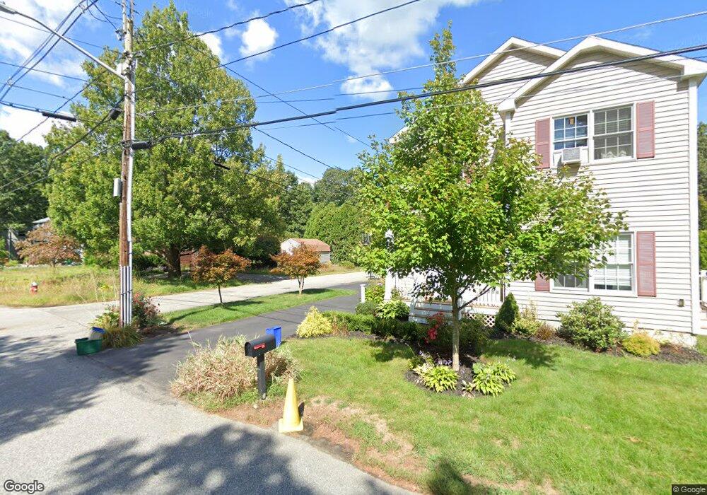
38 Bolton St Concord, MA 01742
Estimated Value: $954,000 - $1,043,974
4
Beds
2
Baths
1,872
Sq Ft
$534/Sq Ft
Est. Value
About This Home
This home is located at 38 Bolton St, Concord, MA 01742 and is currently estimated at $1,000,494, approximately $534 per square foot. 38 Bolton St is a home located in Middlesex County with nearby schools including Willard School, Concord Middle School, and Corwin-Russell School at Broccoli Hall.
Ownership History
Date
Name
Owned For
Owner Type
Purchase Details
Closed on
Apr 15, 1994
Sold by
Ruggiero Dominika
Bought by
Lane Jeffrey H and Lane Ann L
Current Estimated Value
Home Financials for this Owner
Home Financials are based on the most recent Mortgage that was taken out on this home.
Original Mortgage
$120,000
Interest Rate
7.45%
Mortgage Type
Purchase Money Mortgage
Create a Home Valuation Report for This Property
The Home Valuation Report is an in-depth analysis detailing your home's value as well as a comparison with similar homes in the area
Home Values in the Area
Average Home Value in this Area
Purchase History
| Date | Buyer | Sale Price | Title Company |
|---|---|---|---|
| Lane Jeffrey H | $211,500 | -- | |
| Lane Jeffrey H | $211,500 | -- |
Source: Public Records
Mortgage History
| Date | Status | Borrower | Loan Amount |
|---|---|---|---|
| Open | Lane Jeffrey H | $44,000 | |
| Closed | Lane Jeffrey H | $120,000 |
Source: Public Records
Tax History Compared to Growth
Tax History
| Year | Tax Paid | Tax Assessment Tax Assessment Total Assessment is a certain percentage of the fair market value that is determined by local assessors to be the total taxable value of land and additions on the property. | Land | Improvement |
|---|---|---|---|---|
| 2025 | $111 | $833,500 | $449,600 | $383,900 |
| 2024 | $10,944 | $833,500 | $449,600 | $383,900 |
| 2023 | $10,285 | $793,600 | $428,100 | $365,500 |
| 2022 | $9,551 | $647,100 | $342,500 | $304,600 |
| 2021 | $9,252 | $628,500 | $342,500 | $286,000 |
| 2020 | $8,889 | $624,700 | $342,500 | $282,200 |
| 2019 | $8,508 | $599,600 | $332,600 | $267,000 |
| 2018 | $8,084 | $565,700 | $302,300 | $263,400 |
| 2017 | $8,047 | $571,900 | $308,500 | $263,400 |
| 2016 | $7,804 | $560,600 | $308,500 | $252,100 |
| 2015 | $7,106 | $497,300 | $266,600 | $230,700 |
Source: Public Records
Map
Nearby Homes
- 40 Rookery Ln Unit 5
- 72 Rookery Ln Unit 3
- 24 Rookery Ln Unit 6
- 121 White Pond Way Unit 121
- 56 Rookery Ln Unit 4
- 401 Emery Ln Unit 304
- 42 Dakin Rd
- 37 Wolf Pine Way
- 497 Old Road to 9 Acre Corner
- 16 Blacksmith Dr
- Lot 5 Sailaway Ln
- 45 N Crescent Cir
- Lot 4 Sailaway Ln
- 2 Betts Way
- 8 Mina Way
- 0 Elm Unit 73282184
- Lot 9 Sailaway Ln
- 4 Betts Way
- 122 Sand Gully Rd N Unit B
- 941 Concord Rd