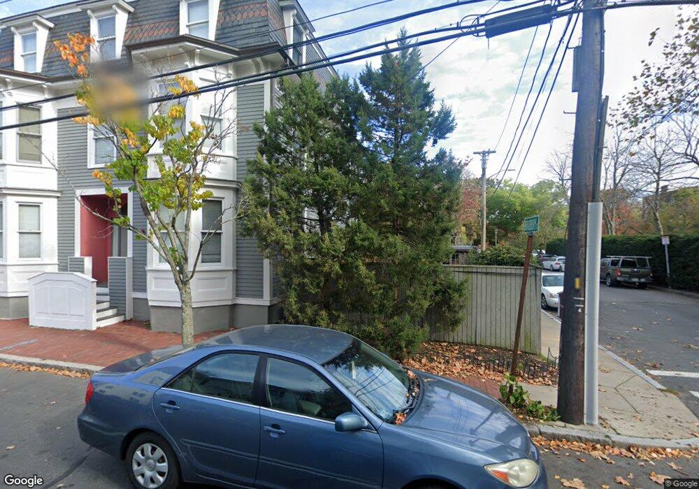
38 Bradbury St Cambridge, MA 02138
West Cambridge NeighborhoodEstimated Value: $3,278,723 - $3,965,000
4
Beds
3
Baths
3,037
Sq Ft
$1,239/Sq Ft
Est. Value
About This Home
This home is located at 38 Bradbury St, Cambridge, MA 02138 and is currently estimated at $3,761,931, approximately $1,238 per square foot. 38 Bradbury St is a home located in Middlesex County with nearby schools including St Peter School, Buckingham Browne & Nichols School, and Shady Hill School.
Ownership History
Date
Name
Owned For
Owner Type
Purchase Details
Closed on
Jul 3, 2006
Sold by
Rose Sanford
Bought by
Vanrheenen Connie J and Rose Sanford
Current Estimated Value
Create a Home Valuation Report for This Property
The Home Valuation Report is an in-depth analysis detailing your home's value as well as a comparison with similar homes in the area
Home Values in the Area
Average Home Value in this Area
Purchase History
| Date | Buyer | Sale Price | Title Company |
|---|---|---|---|
| Vanrheenen Connie J | -- | -- |
Source: Public Records
Tax History Compared to Growth
Tax History
| Year | Tax Paid | Tax Assessment Tax Assessment Total Assessment is a certain percentage of the fair market value that is determined by local assessors to be the total taxable value of land and additions on the property. | Land | Improvement |
|---|---|---|---|---|
| 2025 | $19,246 | $3,030,900 | $1,894,600 | $1,136,300 |
| 2024 | $17,418 | $2,942,300 | $1,854,900 | $1,087,400 |
| 2023 | $16,149 | $2,755,800 | $1,815,200 | $940,600 |
| 2022 | $14,807 | $2,501,200 | $1,667,200 | $834,000 |
| 2021 | $14,108 | $2,411,600 | $1,634,800 | $776,800 |
| 2020 | $13,306 | $2,314,000 | $1,578,100 | $735,900 |
| 2019 | $12,265 | $2,064,800 | $1,383,900 | $680,900 |
| 2018 | $10,909 | $2,025,700 | $1,375,800 | $649,900 |
| 2017 | $12,881 | $1,984,700 | $1,375,800 | $608,900 |
| 2016 | $12,403 | $1,774,400 | $1,209,900 | $564,500 |
| 2015 | $12,654 | $1,618,200 | $1,112,800 | $505,400 |
| 2014 | $12,657 | $1,510,400 | $1,011,700 | $498,700 |
Source: Public Records
Map
Nearby Homes
- 20 Maynard Place
- 15 Hubbard Park Rd
- 48 Hubbard Park Rd
- 1010 Memorial Dr Unit 6G
- 153 Brattle St
- 158 Brattle St
- 32 Hawthorn St
- 3 Berkeley Place
- 172 Brattle St
- 12 Berkeley St
- 988 Memorial Dr Unit 386
- 5 Brewer St Unit 5
- 22 Concord Ave Unit 10
- 986 Memorial Dr Unit 404
- 984 Memorial Dr Unit 984-503
- 983 Memorial Dr Unit 502
- 130 Mount Auburn St Unit 108
- 44 Garden St
- 52 Garden St Unit B2
- 234 Huron Ave