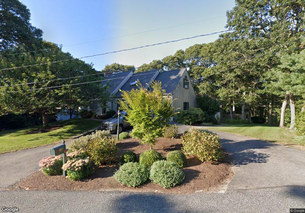
38 Bray Farm Rd N Yarmouth Port, MA 02675
Yarmouth Port NeighborhoodEstimated Value: $736,000 - $1,051,000
3
Beds
3
Baths
1,830
Sq Ft
$486/Sq Ft
Est. Value
About This Home
This home is located at 38 Bray Farm Rd N, Yarmouth Port, MA 02675 and is currently estimated at $889,117, approximately $485 per square foot. 38 Bray Farm Rd N is a home located in Barnstable County with nearby schools including Dennis-Yarmouth Regional High School.
Ownership History
Date
Name
Owned For
Owner Type
Purchase Details
Closed on
Aug 2, 2011
Sold by
Kimball Ronald W and Kimball Sandra A
Bought by
Govoni Thomas and Govoni Janice M
Current Estimated Value
Home Financials for this Owner
Home Financials are based on the most recent Mortgage that was taken out on this home.
Original Mortgage
$115,000
Outstanding Balance
$79,439
Interest Rate
4.52%
Mortgage Type
Purchase Money Mortgage
Estimated Equity
$809,678
Create a Home Valuation Report for This Property
The Home Valuation Report is an in-depth analysis detailing your home's value as well as a comparison with similar homes in the area
Home Values in the Area
Average Home Value in this Area
Purchase History
| Date | Buyer | Sale Price | Title Company |
|---|---|---|---|
| Govoni Thomas | $390,000 | -- |
Source: Public Records
Mortgage History
| Date | Status | Borrower | Loan Amount |
|---|---|---|---|
| Open | Govoni Thomas | $115,000 |
Source: Public Records
Tax History Compared to Growth
Tax History
| Year | Tax Paid | Tax Assessment Tax Assessment Total Assessment is a certain percentage of the fair market value that is determined by local assessors to be the total taxable value of land and additions on the property. | Land | Improvement |
|---|---|---|---|---|
| 2025 | $5,500 | $776,900 | $242,700 | $534,200 |
| 2024 | $5,098 | $690,800 | $211,400 | $479,400 |
| 2023 | $5,074 | $625,700 | $192,200 | $433,500 |
| 2022 | $4,690 | $510,900 | $183,100 | $327,800 |
| 2021 | $4,621 | $483,400 | $183,100 | $300,300 |
| 2020 | $4,582 | $458,200 | $193,900 | $264,300 |
| 2019 | $4,308 | $426,500 | $193,900 | $232,600 |
| 2018 | $4,056 | $394,200 | $161,600 | $232,600 |
| 2017 | $3,950 | $394,200 | $161,600 | $232,600 |
| 2016 | $3,805 | $381,300 | $148,700 | $232,600 |
| 2015 | $3,607 | $359,300 | $142,200 | $217,100 |
Source: Public Records
Map
Nearby Homes
- 59 Route 6a Unit 29-4
- 268 Main St
- 17 Nottingham Dr
- 50 John Hall Cartway Unit 50
- 50 John Hall Cartway
- 19 John Halls Cartpath Village Unit E
- 19 John Hall Cartway Unit E
- 64 Kates Path
- 228 Kates Path
- 20 Trophy Ln
- 17 Kates Path Unit A
- 6 Nimble Hill Dr
- 158 Kates Path
- 4208 Heatherwood
- 2124 Heatherwood
- 6 Thomas Ct
- 15 Signal Hill Dr
- 6 Match Point
- 24 Greenland Cir
- 44 Bray Farm Rd N
- 41 Bray Farm Rd N
- 37 Bray Farm Rd N
- 43 Bray Farm Rd N
- 50 Bray Farm Rd N
- 32 Bray Farm Rd N
- 29 Bray Farm Rd N
- 51 Bray Farm Rd N
- 28 Bray Farm Rd N
- 54 Bray Farm Rd N
- 32 Hillcrest Rd
- 24 Bray Farm Rd N
- 38 Hillcrest Rd
- 26 Hillcrest Rd
- 59 Bray Farm Rd N
- 21 Bray Farm Rd N
- 60 Bray Farm Rd N
- 20 Bray Farm Rd N
- 44 Hillcrest Rd
- 20 Hillcrest Rd