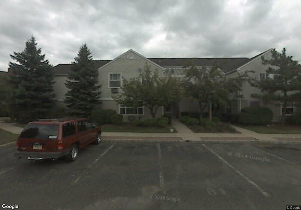
38 Cain Ct Unit C38 Bridgewater, NJ 08807
Green Knoll NeighborhoodEstimated Value: $161,726 - $200,000
Studio
--
Bath
695
Sq Ft
$267/Sq Ft
Est. Value
About This Home
This home is located at 38 Cain Ct Unit C38, Bridgewater, NJ 08807 and is currently estimated at $185,909, approximately $267 per square foot. 38 Cain Ct Unit C38 is a home located in Somerset County with nearby schools including Hamilton Primary School, Hillside Intermediate School, and Bridgewater-Raritan Middle School.
Ownership History
Date
Name
Owned For
Owner Type
Purchase Details
Closed on
Apr 3, 2015
Sold by
Stollery Cara
Bought by
Field David M
Current Estimated Value
Home Financials for this Owner
Home Financials are based on the most recent Mortgage that was taken out on this home.
Original Mortgage
$71,050
Outstanding Balance
$54,596
Interest Rate
3.69%
Mortgage Type
New Conventional
Estimated Equity
$131,313
Purchase Details
Closed on
Mar 12, 2009
Sold by
Miscioscia Louis P
Bought by
Stollery Cara
Purchase Details
Closed on
Mar 31, 2003
Sold by
Zavaglia Deborah
Bought by
Miscioscia Karen
Home Financials for this Owner
Home Financials are based on the most recent Mortgage that was taken out on this home.
Original Mortgage
$68,240
Interest Rate
5.75%
Create a Home Valuation Report for This Property
The Home Valuation Report is an in-depth analysis detailing your home's value as well as a comparison with similar homes in the area
Home Values in the Area
Average Home Value in this Area
Purchase History
| Date | Buyer | Sale Price | Title Company |
|---|---|---|---|
| Field David M | $113,851 | Able Title Agency | |
| Stollery Cara | $102,200 | None Available | |
| Miscioscia Karen | $85,300 | -- |
Source: Public Records
Mortgage History
| Date | Status | Borrower | Loan Amount |
|---|---|---|---|
| Open | Field David M | $71,050 | |
| Previous Owner | Stollery Cara | $91,800 | |
| Previous Owner | Miscioscia Karen | $68,240 | |
| Closed | Stollery Cara | $0 |
Source: Public Records
Tax History
| Year | Tax Paid | Tax Assessment Tax Assessment Total Assessment is a certain percentage of the fair market value that is determined by local assessors to be the total taxable value of land and additions on the property. | Land | Improvement |
|---|---|---|---|---|
| 2025 | $2,673 | $140,100 | $25,000 | $115,100 |
| 2024 | $2,673 | $137,000 | $25,000 | $112,000 |
Source: Public Records
Map
Nearby Homes
- 117 Woodlawn Ave
- 245 Leeham Ave
- 114 Hagerman Ct
- 662 Foothill Rd
- 607 Foothill Rd
- 26 Claire Dr
- 700 Half Foothill Rd
- 55 Stella Dr
- 698 Foothill Rd
- 816 Mine Rd
- 552 Foothill Rd
- 1930 Mountain Top Rd
- 737 Wingate Dr
- 90 Prospect St
- 846 Sunset Ridge
- 855 Sunset Ridge
- 0 Elizabeth Ave
- 842 Madison Ave
- 3 Wimple Way
- 1825 Kennesaw Way
Your Personal Tour Guide
Ask me questions while you tour the home.