Estimated Value: $264,447 - $399,000
3
Beds
1
Bath
1,256
Sq Ft
$251/Sq Ft
Est. Value
About This Home
This home is located at 38 Cemetery Rd, Union, CT 06076 and is currently estimated at $314,862, approximately $250 per square foot. 38 Cemetery Rd is a home located in Tolland County with nearby schools including Union Elementary School.
Ownership History
Date
Name
Owned For
Owner Type
Purchase Details
Closed on
Jun 22, 2021
Sold by
Damico Joseph A
Bought by
Cross William J
Current Estimated Value
Home Financials for this Owner
Home Financials are based on the most recent Mortgage that was taken out on this home.
Original Mortgage
$163,875
Outstanding Balance
$148,368
Interest Rate
2.9%
Mortgage Type
Purchase Money Mortgage
Estimated Equity
$166,494
Purchase Details
Closed on
Feb 24, 2004
Sold by
Deutsche Bank Na
Bought by
Damico Joseph
Home Financials for this Owner
Home Financials are based on the most recent Mortgage that was taken out on this home.
Original Mortgage
$125,000
Interest Rate
5.5%
Purchase Details
Closed on
Sep 19, 1989
Sold by
Caragnande Richard
Bought by
Stewart Richard
Home Financials for this Owner
Home Financials are based on the most recent Mortgage that was taken out on this home.
Original Mortgage
$121,000
Interest Rate
9.58%
Create a Home Valuation Report for This Property
The Home Valuation Report is an in-depth analysis detailing your home's value as well as a comparison with similar homes in the area
Home Values in the Area
Average Home Value in this Area
Purchase History
| Date | Buyer | Sale Price | Title Company |
|---|---|---|---|
| Cross William J | $172,500 | None Available | |
| Damico Joseph | $125,000 | -- | |
| Stewart Richard | $138,000 | -- |
Source: Public Records
Mortgage History
| Date | Status | Borrower | Loan Amount |
|---|---|---|---|
| Open | Cross William J | $163,875 | |
| Previous Owner | Stewart Richard | $126,500 | |
| Previous Owner | Stewart Richard | $125,000 | |
| Previous Owner | Stewart Richard | $35,000 | |
| Previous Owner | Stewart Richard | $121,000 |
Source: Public Records
Tax History
| Year | Tax Paid | Tax Assessment Tax Assessment Total Assessment is a certain percentage of the fair market value that is determined by local assessors to be the total taxable value of land and additions on the property. | Land | Improvement |
|---|---|---|---|---|
| 2025 | $3,570 | $150,770 | $46,350 | $104,420 |
| 2024 | $3,435 | $150,770 | $46,350 | $104,420 |
| 2023 | $3,067 | $108,170 | $37,860 | $70,310 |
| 2022 | $3,013 | $108,170 | $37,860 | $70,310 |
| 2021 | $3,094 | $108,170 | $37,860 | $70,310 |
| 2020 | $3,136 | $108,170 | $37,860 | $70,310 |
| 2019 | $3,346 | $108,170 | $37,860 | $70,310 |
| 2018 | $3,759 | $120,860 | $44,700 | $76,160 |
| 2017 | $3,727 | $120,860 | $44,700 | $76,160 |
| 2015 | $3,577 | $120,860 | $44,700 | $76,160 |
| 2014 | $3,505 | $120,860 | $44,700 | $76,160 |
Source: Public Records
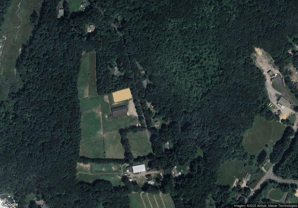
Map
Nearby Homes
- 894 Buckley Hwy
- 425 Stickney Hill Rd
- 2 Old Barrows Rd
- 25 Lead Mine Rd
- 15 Cherokee Rd
- 441 Stickney Hill Rd
- 0 Rr 197 Rd
- 88 Stafford Holland Rd
- 17 Vinton Rd
- 87 Vinton Rd
- 198 Union Rd
- 2 Farrar Dr
- 64 Mashapaug Rd
- 558 Haynes St
- Lot 0 Mashapaug Rd (Es)
- 6 Kimball Hill Rd
- 144 Hnath Rd
- 0 E Brimfield Rd
- 151 Wales Rd
- 46 Dogwood Ln
- 34 Cemetery Rd
- 28 Cemetery Rd
- 42 Cemetery Rd
- 24 Cemetery Rd
- lot 1 Cemetery Rd
- lot#2 Cemetery Rd
- 45 Cemetery Rd
- 22 Cemetery Rd
- 1008 Buckley Hwy
- 14 Cemetery Rd
- 1004 Buckley Hwy
- 1014 Buckley Hwy
- 23 Cemetery Rd
- 990 Buckley Hwy
- 56 Cemetery Rd
- 1005 Buckley Hwy
- 1030 Buckley Hwy
- 55 Cemetery Rd
- 1034 Buckley Hwy
- 993 Buckley Hwy
Your Personal Tour Guide
Ask me questions while you tour the home.