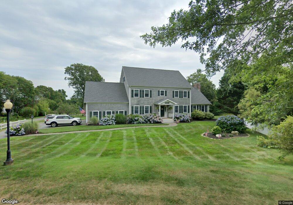
38 Clarks Cove Dr South Dartmouth, MA 02748
Dartmouth Community Park NeighborhoodEstimated Value: $1,250,000 - $1,873,000
4
Beds
4
Baths
4,306
Sq Ft
$373/Sq Ft
Est. Value
About This Home
This home is located at 38 Clarks Cove Dr, South Dartmouth, MA 02748 and is currently estimated at $1,605,538, approximately $372 per square foot. 38 Clarks Cove Dr is a home located in Bristol County with nearby schools including Dartmouth High School and St. Teresa of Calcutta School.
Ownership History
Date
Name
Owned For
Owner Type
Purchase Details
Closed on
Apr 7, 2023
Sold by
Lester Troy R and Lester Mary M
Bought by
Lester Lt
Current Estimated Value
Purchase Details
Closed on
Aug 8, 2000
Sold by
Well Built Homes Inc
Bought by
Lester Troy R and Lester Mary M
Home Financials for this Owner
Home Financials are based on the most recent Mortgage that was taken out on this home.
Original Mortgage
$450,000
Interest Rate
8.1%
Mortgage Type
Purchase Money Mortgage
Create a Home Valuation Report for This Property
The Home Valuation Report is an in-depth analysis detailing your home's value as well as a comparison with similar homes in the area
Home Values in the Area
Average Home Value in this Area
Purchase History
| Date | Buyer | Sale Price | Title Company |
|---|---|---|---|
| Lester Lt | -- | None Available | |
| Lester Troy R | $220,000 | -- |
Source: Public Records
Mortgage History
| Date | Status | Borrower | Loan Amount |
|---|---|---|---|
| Previous Owner | Lester Troy R | $456,000 | |
| Previous Owner | Lester Troy R | $450,000 |
Source: Public Records
Tax History Compared to Growth
Tax History
| Year | Tax Paid | Tax Assessment Tax Assessment Total Assessment is a certain percentage of the fair market value that is determined by local assessors to be the total taxable value of land and additions on the property. | Land | Improvement |
|---|---|---|---|---|
| 2025 | $11,258 | $1,307,600 | $391,300 | $916,300 |
| 2024 | $11,008 | $1,266,700 | $374,300 | $892,400 |
| 2023 | $10,756 | $1,173,000 | $340,300 | $832,700 |
| 2022 | $9,817 | $991,600 | $319,900 | $671,700 |
| 2021 | $9,472 | $914,300 | $294,100 | $620,200 |
| 2020 | $9,512 | $916,400 | $300,700 | $615,700 |
| 2019 | $9,263 | $890,700 | $297,400 | $593,300 |
| 2018 | $9,306 | $835,600 | $289,200 | $546,400 |
| 2017 | $8,244 | $822,800 | $288,400 | $534,400 |
| 2016 | $8,075 | $794,800 | $266,600 | $528,200 |
| 2015 | $8,144 | $803,200 | $269,300 | $533,900 |
| 2014 | $7,654 | $749,700 | $228,700 | $521,000 |
Source: Public Records
Map
Nearby Homes
- 42 Clark's Cove Dr
- 42 Clarks Cove Dr
- 34 Clarks Cove Dr
- 9 Clarks Cove Dr
- 36 Mosher St
- 46 Mosher St
- 30 Clarks Cove Dr
- 50 Mosher St
- 35 Clarks Cove Dr
- 32 Mosher St
- 33 Clarks Cove Dr
- 54 Mosher St
- 26 Clarks Cove Dr
- 28 Mosher St
- 60 Mosher St
- 33 Mosher St
- 41 Mosher St
- 41 Mosher St Unit 41
- 47 Mosher St
- 45 Mosher St