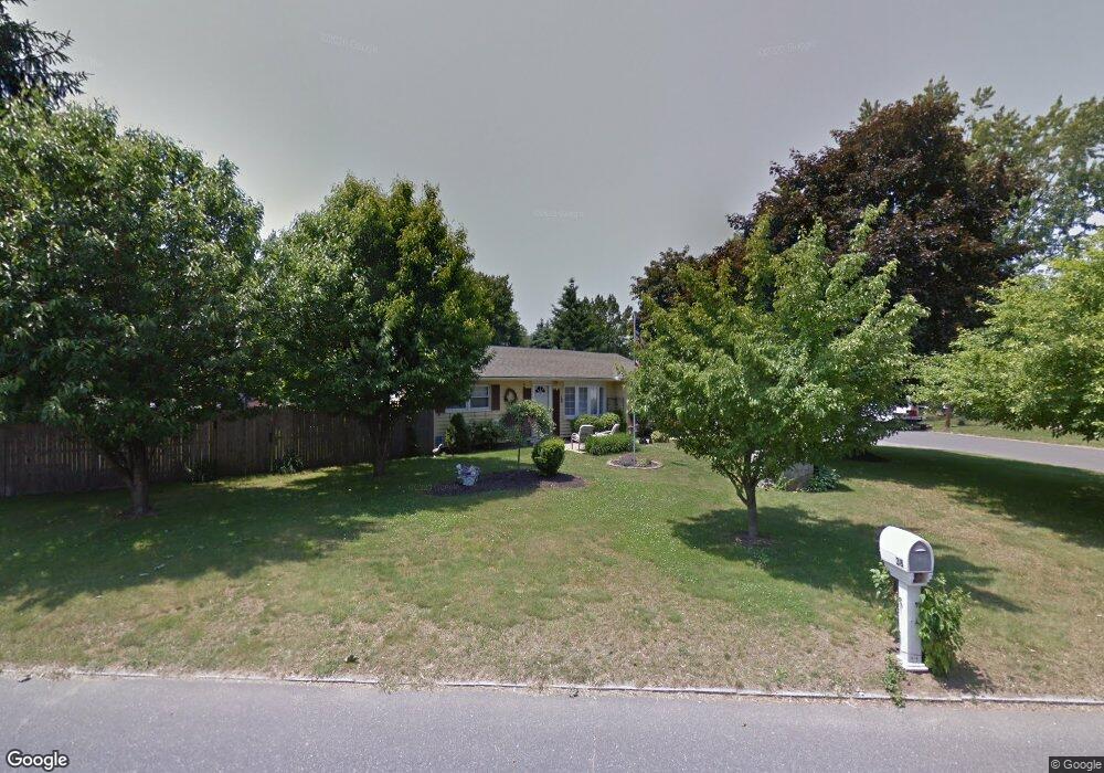
38 Corcoran Blvd Springfield, MA 01118
East Forest Park NeighborhoodEstimated Value: $268,000 - $313,000
3
Beds
2
Baths
1,071
Sq Ft
$271/Sq Ft
Est. Value
About This Home
This home is located at 38 Corcoran Blvd, Springfield, MA 01118 and is currently estimated at $290,423, approximately $271 per square foot. 38 Corcoran Blvd is a home located in Hampden County with nearby schools including Frederick Harris Elementary School, M Marcus Kiley Middle, and Springfield High School of Science and Technology.
Ownership History
Date
Name
Owned For
Owner Type
Purchase Details
Closed on
May 9, 1983
Bought by
Peles Mark A and Peles Patricia A
Current Estimated Value
Create a Home Valuation Report for This Property
The Home Valuation Report is an in-depth analysis detailing your home's value as well as a comparison with similar homes in the area
Home Values in the Area
Average Home Value in this Area
Purchase History
| Date | Buyer | Sale Price | Title Company |
|---|---|---|---|
| Peles Mark A | $40,500 | -- |
Source: Public Records
Mortgage History
| Date | Status | Borrower | Loan Amount |
|---|---|---|---|
| Open | Peles Mark A | $11,023 | |
| Open | Peles Mark A | $85,100 | |
| Closed | Peles Mark A | $15,001 |
Source: Public Records
Tax History
| Year | Tax Paid | Tax Assessment Tax Assessment Total Assessment is a certain percentage of the fair market value that is determined by local assessors to be the total taxable value of land and additions on the property. | Land | Improvement |
|---|---|---|---|---|
| 2025 | $3,360 | $214,300 | $59,500 | $154,800 |
| 2024 | $3,067 | $191,000 | $59,500 | $131,500 |
| 2023 | $3,207 | $188,100 | $56,600 | $131,500 |
| 2022 | $3,182 | $169,100 | $56,600 | $112,500 |
| 2021 | $3,016 | $159,600 | $51,500 | $108,100 |
| 2020 | $2,742 | $140,400 | $51,500 | $88,900 |
| 2019 | $2,602 | $132,200 | $51,500 | $80,700 |
| 2018 | $2,527 | $128,400 | $51,500 | $76,900 |
| 2017 | $2,542 | $129,300 | $51,500 | $77,800 |
| 2016 | $2,432 | $123,700 | $51,500 | $72,200 |
| 2015 | $2,463 | $125,200 | $51,500 | $73,700 |
Source: Public Records
Map
Nearby Homes
- 55 Allen St
- 17 Pebble Mill Rd
- 19 Manor Ct Unit 19
- 125 Manor Ct Unit 125
- 86 Talmadge Dr
- 85 Talmadge Dr
- 120 Bridle Path Rd
- 101 Regal St
- 206 Treetop Ave
- 24 Wands St
- 647 Plumtree Rd
- 41 Hillside Dr
- 46 Hadley St
- 81 W Crystal Brook Dr
- 509 Plumtree Rd
- 119 Powell Ave
- 37 Chesterfield Ave
- 86 Wildwood Ave
- 47 Hartford Terrace
- 79 Arvilla St
- 17 Sunridge Dr
- 50 Corcoran Blvd
- 18 Corcoran Blvd
- 31 Corcoran Blvd
- 41 Corcoran Blvd
- 60 Corcoran Blvd
- 29 Sunridge Dr
- 23 Corcoran Blvd
- 13 Treetop Ave
- 49 Corcoran Blvd
- 24 Sunridge Dr
- 0 Cornflower St
- 23 Treetop Ave
- 13 Corcoran Blvd
- 59 Corcoran Blvd
- 6 Corcoran Blvd
- 32 Sunridge Dr
- 1182 Allen St
- 36 Shady Brook Ln
- 44 Shady Brook Ln
Your Personal Tour Guide
Ask me questions while you tour the home.