38 Cottrell Rd Dixmont, ME 04932
Estimated Value: $73,000 - $219,000
Studio
--
Bath
--
Sq Ft
91,476
Sq Ft Lot
About This Home
This home is located at 38 Cottrell Rd, Dixmont, ME 04932 and is currently estimated at $135,179. 38 Cottrell Rd is a home located in Penobscot County with nearby schools including Nokomis Regional Middle School/High School.
Ownership History
Date
Name
Owned For
Owner Type
Purchase Details
Closed on
Aug 22, 2007
Sold by
Schinck M C
Bought by
Pomeroy Michael A and Pomeroy Donna J
Current Estimated Value
Home Financials for this Owner
Home Financials are based on the most recent Mortgage that was taken out on this home.
Original Mortgage
$30,000
Outstanding Balance
$18,602
Interest Rate
6.71%
Mortgage Type
Commercial
Estimated Equity
$116,577
Create a Home Valuation Report for This Property
The Home Valuation Report is an in-depth analysis detailing your home's value as well as a comparison with similar homes in the area
Purchase History
| Date | Buyer | Sale Price | Title Company |
|---|---|---|---|
| Pomeroy Michael A | -- | -- |
Source: Public Records
Mortgage History
| Date | Status | Borrower | Loan Amount |
|---|---|---|---|
| Open | Pomeroy Michael A | $30,000 | |
| Open | Pomeroy Michael A | $88,300 |
Source: Public Records
Tax History
| Year | Tax Paid | Tax Assessment Tax Assessment Total Assessment is a certain percentage of the fair market value that is determined by local assessors to be the total taxable value of land and additions on the property. | Land | Improvement |
|---|---|---|---|---|
| 2025 | $1,156 | $104,160 | $39,660 | $64,500 |
| 2024 | $1,125 | $104,160 | $39,660 | $64,500 |
| 2023 | $1,056 | $77,680 | $29,380 | $48,300 |
| 2022 | $1,010 | $77,680 | $29,380 | $48,300 |
| 2021 | $1,010 | $77,680 | $29,380 | $48,300 |
| 2020 | $1,010 | $77,680 | $29,380 | $48,300 |
| 2019 | $952 | $77,680 | $29,380 | $48,300 |
| 2018 | $874 | $77,677 | $29,380 | $48,297 |
| 2017 | $862 | $70,360 | $19,270 | $51,090 |
| 2016 | $792 | $70,360 | $19,270 | $51,090 |
| 2015 | $721 | $70,360 | $19,270 | $51,090 |
| 2014 | $774 | $70,360 | $19,270 | $51,090 |
Source: Public Records
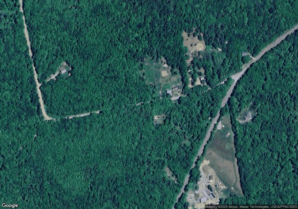
Map
Nearby Homes
- Lot 3 & 4 Nason Hill Rd
- 223 North Rd
- 108 Allen Bridge Rd
- 951 Moosehead Trail
- 678 Moosehead Trail
- M1L22 Moosehead Trail Hwy
- M 4 L 43 Off Route 9 and Route 7
- 1257 Moosehead Trail
- 1083 North Rd
- M10L30 Troy Center Rd
- 1472 Moosehead Trail
- 503 Cook Rd
- 1095 Dixmont Rd
- 0 Woodland Dr Unit 11
- 130 Kennard Rd
- TBD North Rd
- 50 Kennard Rd
- 9-6 Page Rd
- M4L3,5 Fickett Rd
- 2514 Western Ave
- 27 Cottrell Rd
- 0 Palmer Meadow Rd Unit 861720
- 0 Palmer Meadow Rd Unit 757305
- 0 Palmer Meadow Rd Unit 723479
- 0 Palmer Meadow Rd Unit 757314
- 0 Palmer Meadow Rd Unit 747963
- 0 Palmer Meadow Rd Unit 1419576
- 0 Palmer Meadow Rd Unit 1354321
- Lot 25 Cottrell Rd
- 307 Simpson Corner Rd
- 284 Simpson Corner Rd
- 284 Simpson Corner
- TBD Cottrell Rd
- 0 Cottreal Unit 942785
- 0 Cottreal Unit 942791
- 99 Cottrell Rd
- 281 Simpson Corner Rd
- 293 Simpson Corner Rd
- 330 Simpson Corner Rd
- 315 Simpson Corner Rd
Your Personal Tour Guide
Ask me questions while you tour the home.