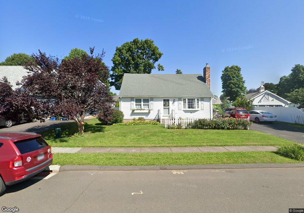
38 Cynthia Dr Berlin, CT 06037
Berlin AreaEstimated Value: $354,000 - $435,000
About This Home
This home is located at 38 Cynthia Dr, Berlin, CT 06037 and is currently estimated at $409,620, approximately $304 per square foot. 38 Cynthia Dr is a home located in Hartford County with nearby schools including Richard D. Hubbard School, Catherine M. Mcgee Middle School, and Berlin High School.
Ownership History
We collect this data history from publicly available records. To have your information removed, we recommend requesting removal directly through your county’s website.
Purchase Details
Purchase Details
Purchase Details
Home Values in the Area
Average Home Value in this Area
Purchase History
We collect this data history from publicly available records. To have your information removed, we recommend requesting removal directly through your county’s website.
| Date | Buyer | Sale Price | Title Company |
|---|---|---|---|
| -- | None Available | ||
| $214,000 | -- | ||
| $165,000 | -- |
Tax History
We collect this data history from publicly available records. To have your information removed, we recommend requesting removal directly through your county’s website.
| Year | Tax Paid | Tax Assessment Tax Assessment Total Assessment is a certain percentage of the fair market value that is determined by local assessors to be the total taxable value of land and additions on the property. | Land | Improvement |
|---|---|---|---|---|
| 2025 | $5,722 | $186,700 | $88,300 | $98,400 |
| 2024 | $5,607 | $185,600 | $88,300 | $97,300 |
| 2023 | $5,486 | $185,600 | $88,300 | $97,300 |
| 2022 | $5,373 | $156,600 | $78,800 | $77,800 |
| 2021 | $5,313 | $156,600 | $78,800 | $77,800 |
| 2020 | $5,269 | $155,300 | $78,800 | $76,500 |
| 2019 | $5,106 | $150,500 | $78,800 | $71,700 |
| 2018 | $4,891 | $150,500 | $78,800 | $71,700 |
| 2017 | $4,508 | $142,600 | $78,100 | $64,500 |
| 2016 | $4,394 | $142,600 | $78,100 | $64,500 |
| 2015 | $4,328 | $142,600 | $78,100 | $64,500 |
| 2014 | $4,124 | $142,600 | $78,100 | $64,500 |
Map
- 51 Towne Dr
- 9 Streamside Ln Unit 9
- 73 Main St
- 505 New Britain Rd
- 343 Alling St
- 90 Old Brickyard Ln
- 741 Norton Rd
- 23 Glendale Ave
- 95 Bernard Rd
- 5 York Rd
- 270 New Britain Rd Unit 16
- 953 High Rd
- 81 Galpin Ln
- 963 High Rd
- 107 Hudson St
- 303 New Britain Rd
- 109 Warner Rd
- 159 Hartland Terrace
- 398 Chamberlain Hwy
- 398 Chamberlain Hwy Unit Lot 6A-2
- 50 Monarch Dr
- 40 Monarch Dr
- 60 Monarch Dr
- 43 Sugar Maple Ln
- 53 Sugar Maple Ln
- 30 Monarch Dr
- 37 Sugar Maple Ln
- 70 Monarch Dr
- 46 Cynthia Dr
- 52 Cynthia Dr
- 63 Sugar Maple Ln
- 20 Monarch Dr
- 32 Cynthia Dr
- 29 Sugar Maple Ln
- 28 Cynthia Dr
- 21 Sugar Maple Ln
- 56 Cynthia Dr
- 10 Monarch Dr
- 68 Sugar Maple Ln
- 52 Sugar Maple Ln
Ask me questions while you tour the home.