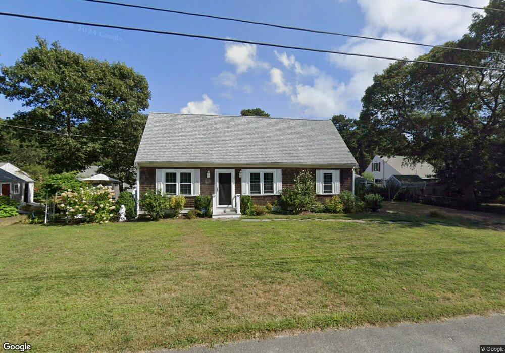
38 Cynthia Ln Dennis Port, MA 02639
Dennis Port NeighborhoodEstimated Value: $576,000 - $705,000
2
Beds
1
Bath
650
Sq Ft
$959/Sq Ft
Est. Value
About This Home
This home is located at 38 Cynthia Ln, Dennis Port, MA 02639 and is currently estimated at $623,135, approximately $958 per square foot. 38 Cynthia Ln is a home located in Barnstable County with nearby schools including Dennis-Yarmouth Regional High School.
Ownership History
Date
Name
Owned For
Owner Type
Purchase Details
Closed on
Jul 14, 2000
Sold by
Richard Denis E and Richard Jody A
Bought by
Fecteau Richard A and Fecteau Linda B
Current Estimated Value
Home Financials for this Owner
Home Financials are based on the most recent Mortgage that was taken out on this home.
Original Mortgage
$85,600
Outstanding Balance
$31,216
Interest Rate
8.5%
Mortgage Type
Purchase Money Mortgage
Estimated Equity
$591,919
Create a Home Valuation Report for This Property
The Home Valuation Report is an in-depth analysis detailing your home's value as well as a comparison with similar homes in the area
Home Values in the Area
Average Home Value in this Area
Purchase History
| Date | Buyer | Sale Price | Title Company |
|---|---|---|---|
| Fecteau Richard A | $107,000 | -- |
Source: Public Records
Mortgage History
| Date | Status | Borrower | Loan Amount |
|---|---|---|---|
| Open | Fecteau Richard A | $85,600 |
Source: Public Records
Tax History Compared to Growth
Tax History
| Year | Tax Paid | Tax Assessment Tax Assessment Total Assessment is a certain percentage of the fair market value that is determined by local assessors to be the total taxable value of land and additions on the property. | Land | Improvement |
|---|---|---|---|---|
| 2025 | $2,327 | $537,500 | $202,200 | $335,300 |
| 2024 | $2,224 | $506,600 | $194,500 | $312,100 |
| 2023 | $2,152 | $460,800 | $176,800 | $284,000 |
| 2022 | $2,066 | $368,900 | $159,300 | $209,600 |
| 2021 | $2,103 | $348,800 | $178,400 | $170,400 |
| 2020 | $1,918 | $314,500 | $156,100 | $158,400 |
| 2019 | $1,816 | $294,400 | $153,100 | $141,300 |
| 2018 | $1,362 | $214,900 | $145,700 | $69,200 |
| 2017 | $1,235 | $200,800 | $135,300 | $65,500 |
| 2016 | $1,309 | $200,400 | $145,700 | $54,700 |
| 2015 | $1,283 | $200,400 | $145,700 | $54,700 |
| 2014 | $1,140 | $179,600 | $124,900 | $54,700 |
Source: Public Records
Map
Nearby Homes
- 19 Standish Way
- 31 Easy St
- 22 Wixon Rd
- 80 Michaels Ave
- 4 Coffey Ln
- 72 Bassett Ln
- 125 Main St Unit 3
- 71 Main St
- 268 Main St
- 12 Spoonbill Rd
- 22 Ferncliff Rd
- 37 Ocean Dr Unit 2
- 37 Beach Hills Rd
- 64 Beaten Rd
- 37-A Beach Hills Rd
- 262 Old Wharf Rd Unit 67
- 262 Old Wharf Rd Unit 5
- 262 Old Wharf Rd Unit 5
- 262 Old Wharf Rd Unit 20
- 262 Old Wharf Rd Unit 87
- 29 Siasconset Ave
- 27 Siasconset Ave
- 31 Siasconset Ave
- 39 Cynthia Ln
- 25 Siasconset Ave
- 32 Cynthia Ln
- 35 Siasconset Ave
- 44 Cynthia Ln
- 31 Cynthia Ln
- 21 Siasconset Ave
- 37 Siasconset Ave
- 45 Cynthia Ln
- 19 Siasconset Ave
- 39 Siasconset Ave
- 26 Cynthia Ln
- 17 Siasconset Ave
- 52 Cynthia Ln
- 25 Cynthia Ln
- 41 Siasconset Ave
- 104 Kibby Ln