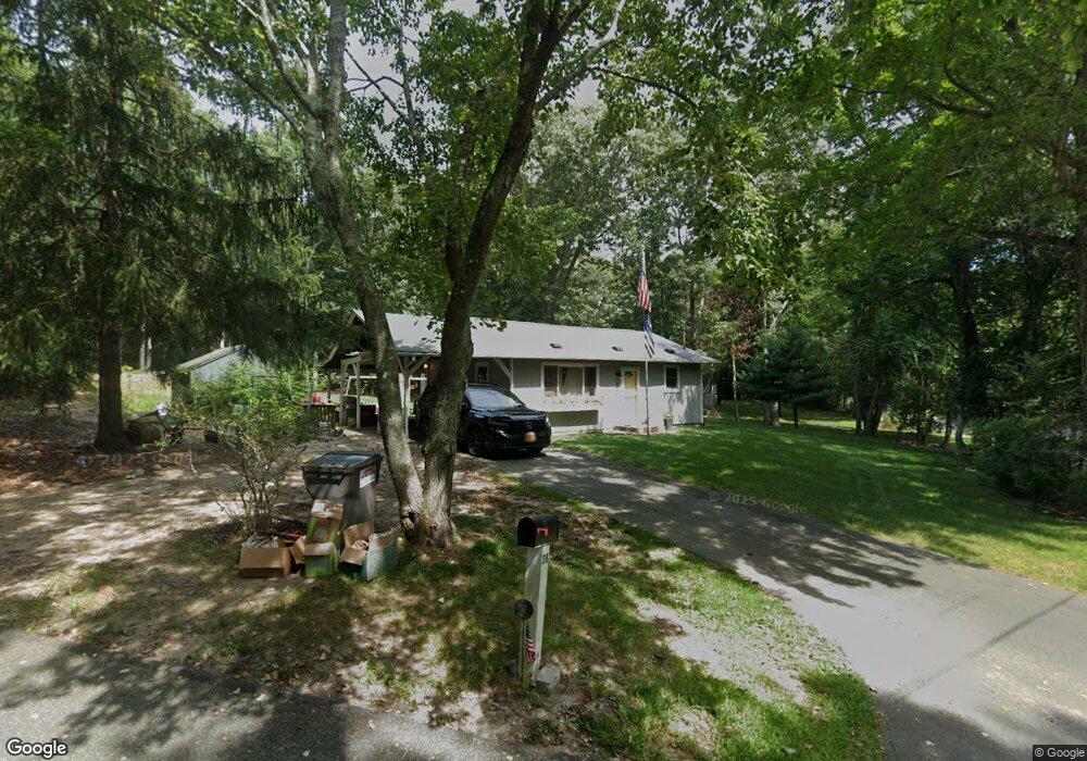
38 Dogwood Ln Sag Harbor, NY 11963
Estimated Value: $1,043,647 - $1,687,000
2
Beds
1
Bath
880
Sq Ft
$1,381/Sq Ft
Est. Value
About This Home
This home is located at 38 Dogwood Ln, Sag Harbor, NY 11963 and is currently estimated at $1,214,912, approximately $1,380 per square foot. 38 Dogwood Ln is a home located in Suffolk County with nearby schools including Sag Harbor Elementary School and Pierson Middle/High School.
Ownership History
Date
Name
Owned For
Owner Type
Purchase Details
Closed on
Jun 24, 2016
Sold by
King Roger J and Jennerich Emily G
Bought by
King Roger J and King Emily G
Current Estimated Value
Home Financials for this Owner
Home Financials are based on the most recent Mortgage that was taken out on this home.
Original Mortgage
$398,000
Outstanding Balance
$317,484
Interest Rate
3.64%
Mortgage Type
VA
Estimated Equity
$897,428
Purchase Details
Closed on
Jun 26, 2014
Sold by
Thompson James and Thompson Jane
Bought by
King Roger J and Jennerich Emily G
Purchase Details
Closed on
Jul 30, 1995
Sold by
Thompson Joseph P
Bought by
Thompson Jane
Create a Home Valuation Report for This Property
The Home Valuation Report is an in-depth analysis detailing your home's value as well as a comparison with similar homes in the area
Home Values in the Area
Average Home Value in this Area
Purchase History
| Date | Buyer | Sale Price | Title Company |
|---|---|---|---|
| King Roger J | -- | Star Title Services Llc | |
| King Roger J | $415,000 | -- | |
| Thompson Jane | -- | American Title Ins Co |
Source: Public Records
Mortgage History
| Date | Status | Borrower | Loan Amount |
|---|---|---|---|
| Open | King Roger J | $398,000 |
Source: Public Records
Tax History Compared to Growth
Tax History
| Year | Tax Paid | Tax Assessment Tax Assessment Total Assessment is a certain percentage of the fair market value that is determined by local assessors to be the total taxable value of land and additions on the property. | Land | Improvement |
|---|---|---|---|---|
| 2024 | $3,276 | $560,300 | $462,200 | $98,100 |
| 2023 | $3,276 | $560,300 | $462,200 | $98,100 |
| 2022 | $3,086 | $560,300 | $462,200 | $98,100 |
| 2021 | $3,086 | $560,300 | $462,200 | $98,100 |
| 2020 | $3,068 | $560,300 | $462,200 | $98,100 |
| 2019 | $3,068 | $0 | $0 | $0 |
| 2018 | -- | $552,200 | $462,200 | $90,000 |
| 2017 | $3,245 | $552,200 | $462,200 | $90,000 |
| 2016 | $2,345 | $402,600 | $326,100 | $76,500 |
| 2015 | -- | $402,600 | $326,100 | $76,500 |
| 2014 | -- | $371,200 | $294,700 | $76,500 |
Source: Public Records
Map
Nearby Homes
- 24 Shadyrest Dr
- 9 Shadyrest Dr
- 2222 Noyack Rd
- 2421 Noyac Rd
- 2524 Noyack Rd
- 2885 Deerfield Rd
- 2587 Deerfield Rd
- 31 Rolling Hill Ct W
- 40 Scrimshaw Dr
- 59 Whalebone Landing Rd
- 2803 Noyac Rd
- 40 Highlands Dr
- 125 Laurel Valley Dr
- 28 Bay View Rd N
- 2268 Deerfield Rd
- 1739 Millstone Rd
- 22 Bay View Rd W
- 1694 Millstone Rd
- 22 Fern Rd
- 2964 Noyack Rd