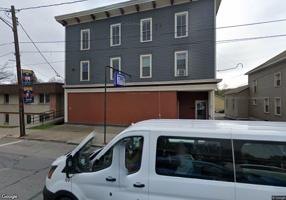
38 E Main St Canton, PA 17724
--
Bed
2
Baths
8,820
Sq Ft
9,148
Sq Ft Lot
About This Home
This home is located at 38 E Main St, Canton, PA 17724. 38 E Main St is a home located in Bradford County with nearby schools including Canton Area Elementary School and Canton Junior/Senior High School.
Ownership History
Date
Name
Owned For
Owner Type
Purchase Details
Closed on
Oct 21, 2021
Sold by
Porter Mary Ann and Rathbun Lindsay R
Bought by
Vanderpool Dean L and Sandor Carla R
Home Financials for this Owner
Home Financials are based on the most recent Mortgage that was taken out on this home.
Original Mortgage
$169,000
Outstanding Balance
$154,112
Interest Rate
2.8%
Mortgage Type
Credit Line Revolving
Purchase Details
Closed on
Dec 9, 2011
Sold by
Pettigrew Stephen J and Pettigrew Brandy M
Bought by
Porter Mary Ann and Rathbun Lindsay R
Home Financials for this Owner
Home Financials are based on the most recent Mortgage that was taken out on this home.
Original Mortgage
$115,000
Interest Rate
3.99%
Mortgage Type
Future Advance Clause Open End Mortgage
Create a Home Valuation Report for This Property
The Home Valuation Report is an in-depth analysis detailing your home's value as well as a comparison with similar homes in the area
Home Values in the Area
Average Home Value in this Area
Purchase History
| Date | Buyer | Sale Price | Title Company |
|---|---|---|---|
| Vanderpool Dean L | $159,000 | None Available | |
| Porter Mary Ann | $90,000 | None Available |
Source: Public Records
Mortgage History
| Date | Status | Borrower | Loan Amount |
|---|---|---|---|
| Open | Vanderpool Dean L | $169,000 | |
| Previous Owner | Porter Mary Ann | $115,000 |
Source: Public Records
Tax History Compared to Growth
Tax History
| Year | Tax Paid | Tax Assessment Tax Assessment Total Assessment is a certain percentage of the fair market value that is determined by local assessors to be the total taxable value of land and additions on the property. | Land | Improvement |
|---|---|---|---|---|
| 2025 | $1,685 | $24,550 | $0 | $0 |
| 2024 | $1,582 | $24,550 | $0 | $0 |
| 2023 | $1,582 | $24,550 | $0 | $0 |
| 2022 | $1,580 | $24,550 | $0 | $0 |
| 2021 | $1,574 | $24,550 | $0 | $0 |
| 2020 | $1,560 | $24,550 | $0 | $0 |
| 2019 | $1,559 | $24,550 | $0 | $0 |
| 2018 | $1,516 | $24,550 | $0 | $0 |
| 2017 | $1,499 | $24,550 | $0 | $0 |
| 2016 | -- | $24,550 | $0 | $0 |
| 2015 | -- | $24,550 | $0 | $0 |
| 2014 | $768 | $24,550 | $0 | $0 |
Source: Public Records
Map
Nearby Homes
- 94 N Center St
- 85 N Minnequa Ave
- 108 S Washington St
- 49-51 T-329
- 127 Troy St
- 290 Troy St
- 374 S Minnequa Ave
- 55 Clinton St
- 386 Troy St
- 63 Brann St
- 118 E South Ave
- 0 Upper Mountain Rd
- Upper Mountain Rd Lot Unit WP001
- 19 Lovell Ln
- 1616 W Union St
- 1616 W Union Rd
- 7129 Route 14
- 417 Furman Rd
- 14751 Route 14
- 76 Highlands Ln
- RR1 Box1556 Rte 414
- 14 E Main St
- 22 S Minnequa Ave
- 2 N Center St
- 45 E Main St
- 65 Main St
- 18 N Center St
- 64 S Minnequa Ave
- 9 N Minnequa Ave
- 75 E Main St
- 15 N Minnequa Ave
- 74 S Minnequa Ave
- 29 S Minnequa Ave
- 31 S Minnequa Ave
- 15 S Minnequa Ave
- 51 S Center St
- 25 N Minnequa Ave
- 22 W Main St
- 21 W Main St Unit 2
- 21 W Main St