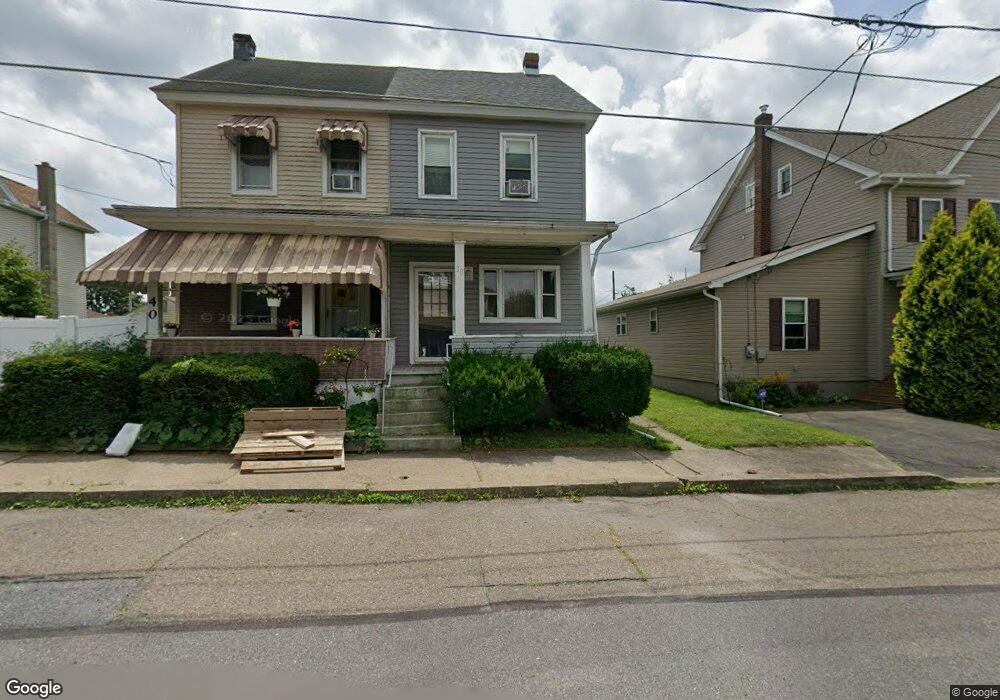
38 E Maple St Tresckow, PA 18254
Estimated Value: $76,002 - $203,000
3
Beds
1
Bath
1,647
Sq Ft
$83/Sq Ft
Est. Value
About This Home
This home is located at 38 E Maple St, Tresckow, PA 18254 and is currently estimated at $136,751, approximately $83 per square foot. 38 E Maple St is a home located in Carbon County with nearby schools including Hazleton Area High School, Mcadoo Catholic Elementary School, and Holy Family Academy.
Ownership History
Date
Name
Owned For
Owner Type
Purchase Details
Closed on
Feb 7, 2020
Sold by
Urban Thompson Cori L and Thompson Robert W
Bought by
Gulash Michael T
Current Estimated Value
Home Financials for this Owner
Home Financials are based on the most recent Mortgage that was taken out on this home.
Original Mortgage
$63,723
Outstanding Balance
$56,918
Interest Rate
4.4%
Mortgage Type
FHA
Estimated Equity
$79,833
Purchase Details
Closed on
Apr 30, 2007
Sold by
Urban Thompson Cori L and Thompson Robert W
Bought by
Urban Thompson Cori L and Thompson Robert W
Home Financials for this Owner
Home Financials are based on the most recent Mortgage that was taken out on this home.
Original Mortgage
$45,000
Interest Rate
6.17%
Mortgage Type
Purchase Money Mortgage
Create a Home Valuation Report for This Property
The Home Valuation Report is an in-depth analysis detailing your home's value as well as a comparison with similar homes in the area
Home Values in the Area
Average Home Value in this Area
Purchase History
| Date | Buyer | Sale Price | Title Company |
|---|---|---|---|
| Gulash Michael T | $64,900 | Covenant Abstract Inc | |
| Urban Thompson Cori L | -- | None Available |
Source: Public Records
Mortgage History
| Date | Status | Borrower | Loan Amount |
|---|---|---|---|
| Open | Gulash Michael T | $63,723 | |
| Previous Owner | Urban Thompson Cori L | $45,000 |
Source: Public Records
Tax History
| Year | Tax Paid | Tax Assessment Tax Assessment Total Assessment is a certain percentage of the fair market value that is determined by local assessors to be the total taxable value of land and additions on the property. | Land | Improvement |
|---|---|---|---|---|
| 2025 | $641 | $13,900 | $4,550 | $9,350 |
| 2024 | $645 | $13,900 | $4,550 | $9,350 |
| 2023 | $609 | $13,900 | $4,550 | $9,350 |
| 2022 | $590 | $13,900 | $4,550 | $9,350 |
| 2021 | $569 | $13,900 | $4,550 | $9,350 |
| 2020 | $563 | $13,900 | $4,550 | $9,350 |
| 2019 | $522 | $13,900 | $4,550 | $9,350 |
| 2018 | $539 | $13,900 | $4,550 | $9,350 |
| 2017 | $526 | $13,900 | $4,550 | $9,350 |
| 2016 | -- | $13,900 | $4,550 | $9,350 |
| 2015 | -- | $13,900 | $4,550 | $9,350 |
| 2014 | -- | $13,900 | $4,550 | $9,350 |
Source: Public Records
Map
Nearby Homes
Your Personal Tour Guide
Ask me questions while you tour the home.