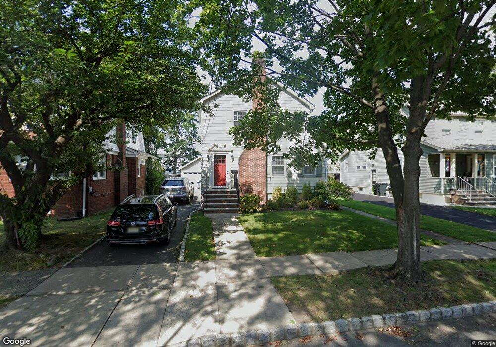
38 Ernst Ave Bloomfield, NJ 07003
Estimated Value: $535,685 - $736,000
Studio
--
Bath
1,236
Sq Ft
$514/Sq Ft
Est. Value
About This Home
This home is located at 38 Ernst Ave, Bloomfield, NJ 07003 and is currently estimated at $635,671, approximately $514 per square foot. 38 Ernst Ave is a home located in Essex County with nearby schools including Oak View School, Bloomfield Middle School, and Bloomfield High School.
Ownership History
Date
Name
Owned For
Owner Type
Purchase Details
Closed on
Jul 17, 2007
Sold by
Greene Desmond and Greene Janice
Bought by
Keneally Brendan and Keneally Jennifer
Current Estimated Value
Home Financials for this Owner
Home Financials are based on the most recent Mortgage that was taken out on this home.
Original Mortgage
$76,000
Interest Rate
6.25%
Mortgage Type
Stand Alone Second
Purchase Details
Closed on
Jul 30, 1998
Sold by
Sateary Thomas J
Bought by
Greene Desmond and Greene Janice
Home Financials for this Owner
Home Financials are based on the most recent Mortgage that was taken out on this home.
Original Mortgage
$127,100
Interest Rate
6.92%
Purchase Details
Closed on
Jun 1, 1993
Sold by
Lukowiak Sr Gregory F and Lukowiak Joyce F
Bought by
Sateary Thomas J
Create a Home Valuation Report for This Property
The Home Valuation Report is an in-depth analysis detailing your home's value as well as a comparison with similar homes in the area
Home Values in the Area
Average Home Value in this Area
Purchase History
| Date | Buyer | Sale Price | Title Company |
|---|---|---|---|
| Keneally Brendan | $405,000 | Lenox Title Agency Llc | |
| Greene Desmond | $158,900 | -- | |
| Sateary Thomas J | $150,500 | -- |
Source: Public Records
Mortgage History
| Date | Status | Borrower | Loan Amount |
|---|---|---|---|
| Closed | Keneally Brendan | $76,000 | |
| Open | Keneally Brendan | $324,000 | |
| Previous Owner | Greene Desmond | $127,100 |
Source: Public Records
Tax History
| Year | Tax Paid | Tax Assessment Tax Assessment Total Assessment is a certain percentage of the fair market value that is determined by local assessors to be the total taxable value of land and additions on the property. | Land | Improvement |
|---|---|---|---|---|
| 2025 | $12,204 | $359,800 | $196,500 | $163,300 |
| 2024 | $11,758 | $359,800 | $196,500 | $163,300 |
| 2022 | $11,521 | $359,800 | $196,500 | $163,300 |
| 2021 | $11,309 | $359,800 | $196,500 | $163,300 |
| 2020 | $11,136 | $359,800 | $196,500 | $163,300 |
| 2019 | $12,281 | $308,500 | $180,000 | $128,500 |
| 2018 | $12,229 | $308,500 | $180,000 | $128,500 |
| 2017 | $12,044 | $308,500 | $180,000 | $128,500 |
| 2016 | $11,908 | $308,500 | $180,000 | $128,500 |
| 2015 | $11,800 | $308,500 | $180,000 | $128,500 |
| 2014 | $11,584 | $308,500 | $180,000 | $128,500 |
Source: Public Records
Map
Nearby Homes
Your Personal Tour Guide
Ask me questions while you tour the home.