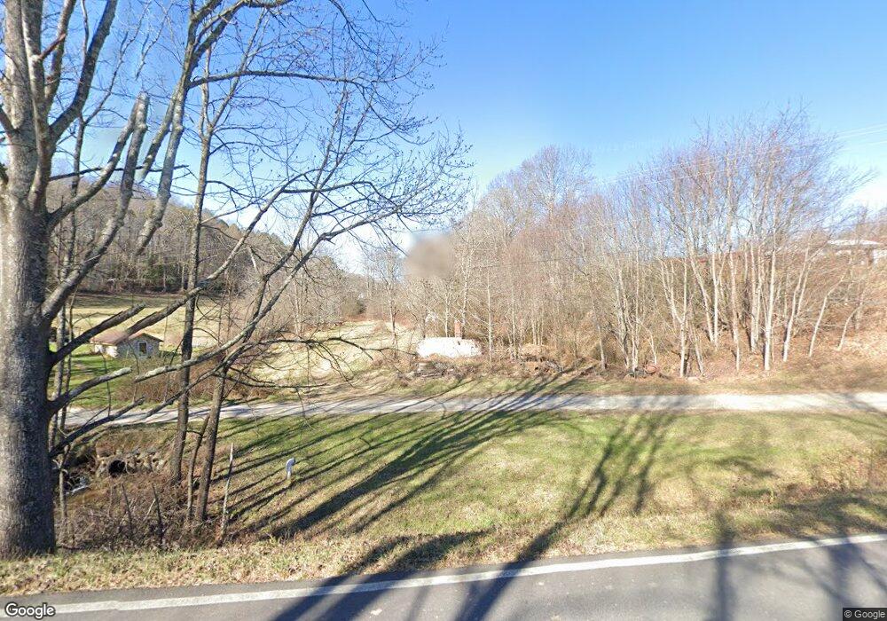
38 Ev Farm Dr Blairsville, GA 30512
Estimated Value: $420,382 - $632,000
2
Beds
2
Baths
2,417
Sq Ft
$217/Sq Ft
Est. Value
About This Home
This home is located at 38 Ev Farm Dr, Blairsville, GA 30512 and is currently estimated at $524,461, approximately $216 per square foot. 38 Ev Farm Dr is a home located in Union County with nearby schools including Union County Primary School, Union County Elementary School, and Union County Middle School.
Ownership History
Date
Name
Owned For
Owner Type
Purchase Details
Closed on
Jan 18, 2022
Sold by
Payne Ernest A
Bought by
Payne Christopher
Current Estimated Value
Purchase Details
Closed on
May 11, 2010
Sold by
Payne Ernest
Bought by
Payne Christopher
Purchase Details
Closed on
Nov 26, 2008
Sold by
Payne Ernest A
Bought by
Payne Chris
Purchase Details
Closed on
Jan 25, 2008
Sold by
Payne Ernest
Bought by
Payne Chris
Purchase Details
Closed on
Jul 25, 1963
Bought by
Payne Ernest A
Create a Home Valuation Report for This Property
The Home Valuation Report is an in-depth analysis detailing your home's value as well as a comparison with similar homes in the area
Home Values in the Area
Average Home Value in this Area
Purchase History
| Date | Buyer | Sale Price | Title Company |
|---|---|---|---|
| Payne Christopher | -- | -- | |
| Payne Christopher | -- | -- | |
| Payne Chris | -- | -- | |
| Payne Chris | -- | -- | |
| Payne Ernest A | -- | -- |
Source: Public Records
Tax History Compared to Growth
Tax History
| Year | Tax Paid | Tax Assessment Tax Assessment Total Assessment is a certain percentage of the fair market value that is determined by local assessors to be the total taxable value of land and additions on the property. | Land | Improvement |
|---|---|---|---|---|
| 2024 | $1,235 | $135,924 | $42,360 | $93,564 |
| 2023 | $1,381 | $135,324 | $42,360 | $92,964 |
| 2022 | $1,083 | $142,160 | $66,520 | $75,640 |
| 2021 | $991 | $99,516 | $39,240 | $60,276 |
| 2020 | $1,238 | $125,391 | $65,144 | $60,247 |
| 2019 | $1,163 | $125,391 | $65,144 | $60,247 |
| 2018 | $2,203 | $125,391 | $65,144 | $60,247 |
| 2017 | $1,045 | $125,391 | $65,144 | $60,247 |
| 2016 | $1,042 | $125,391 | $65,144 | $60,247 |
| 2015 | $1,046 | $125,391 | $65,144 | $60,247 |
| 2013 | -- | $125,391 | $65,144 | $60,246 |
Source: Public Records
Map
Nearby Homes
- 127 Hard Rock Hill
- 63 Rolling Hills
- 125 Spivey Ridge Rd
- LT 53 Clay Dr
- 3.52 AC Payne Way
- 8 AC Payne Way
- LOT 10 Hawks Nest Rd Unit 10
- lot 8 Hawks Nest Rd
- 10 W Hawks Nest Rd
- 001 Harmony Rd
- 274 Wild Ridge Rd
- 266 Mabry Ln
- 305 Kimbolton Dr
- 435 Richlen Ridge Rd
- 509 Wisteria Ln
- 357 Wise Rd
- 34 Amber Way Unit 1
- 34 Amber Way
- 33 Carley Dr
- 369 Timber Blossom Dr
- 2639 Jones Creek Rd
- 2698 Jones Creek Rd
- 0 Elisha Payne Rd Unit 302037
- 0 Elisha Payne Cir Unit 7186573
- 0 Elisha Payne Cir Unit 7184508
- 0 Elisha Payne Cir Unit 20037050
- 0 Elisha Payne Cir Unit 105616
- 0 Elisha Payne Cir Unit 7190586
- 0 Elisha Payne Cir Unit 8275489
- 9 Revelation Rd
- 14 AC Elisha Payne Cir
- 8 AC Elisha Payne Cir
- 14.18 Elisha Payne Cir
- 322 Ev Farm Dr
- 2468 Jones Creek Rd
- 2582 Jones Creek Rd
- 2817 Jones Creek Rd
- 109 Revelation Rd
- 1764 Elisha Payne Cir
- 40.2A Jones Creek Terrace
